Public Works
Public Works Expertise
Public works departments face some of today’s most complex infrastructure challenges. Highly visible, public works services are crucial for supporting strong communities. That’s why we don’t just engineer infrastructure, we enhance communities by helping municipalities develop vital resources through practical engineering solutions.
With strategic partnerships and right-sized solutions we will address your critical needs while delivering long-term value by considering the full spectrum—from infrastructure and emergency safety systems to environmental initiatives and public services. No matter the project, big or small, ISG has the specialized expertise necessary to make your next public works project a reality.

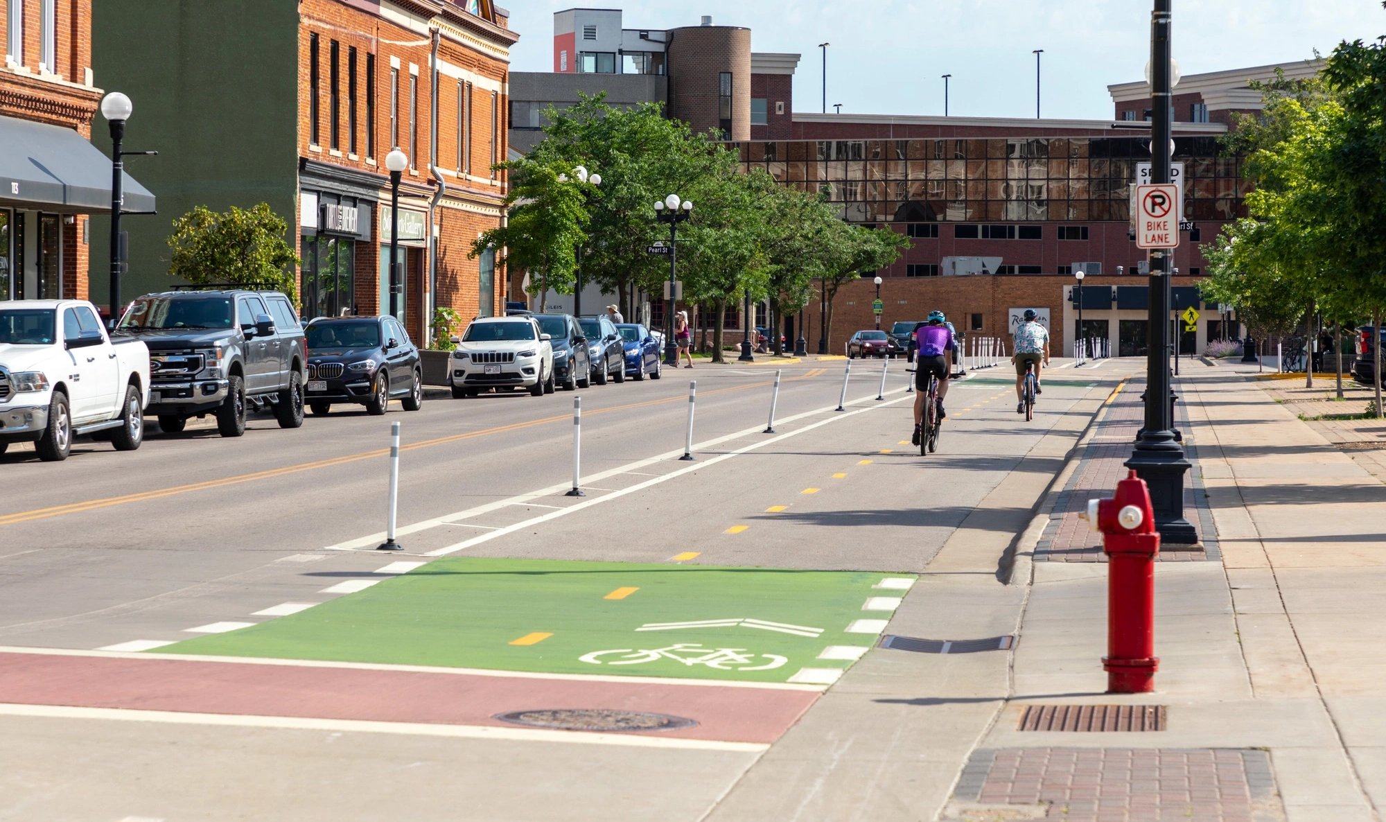
Municipal Planning
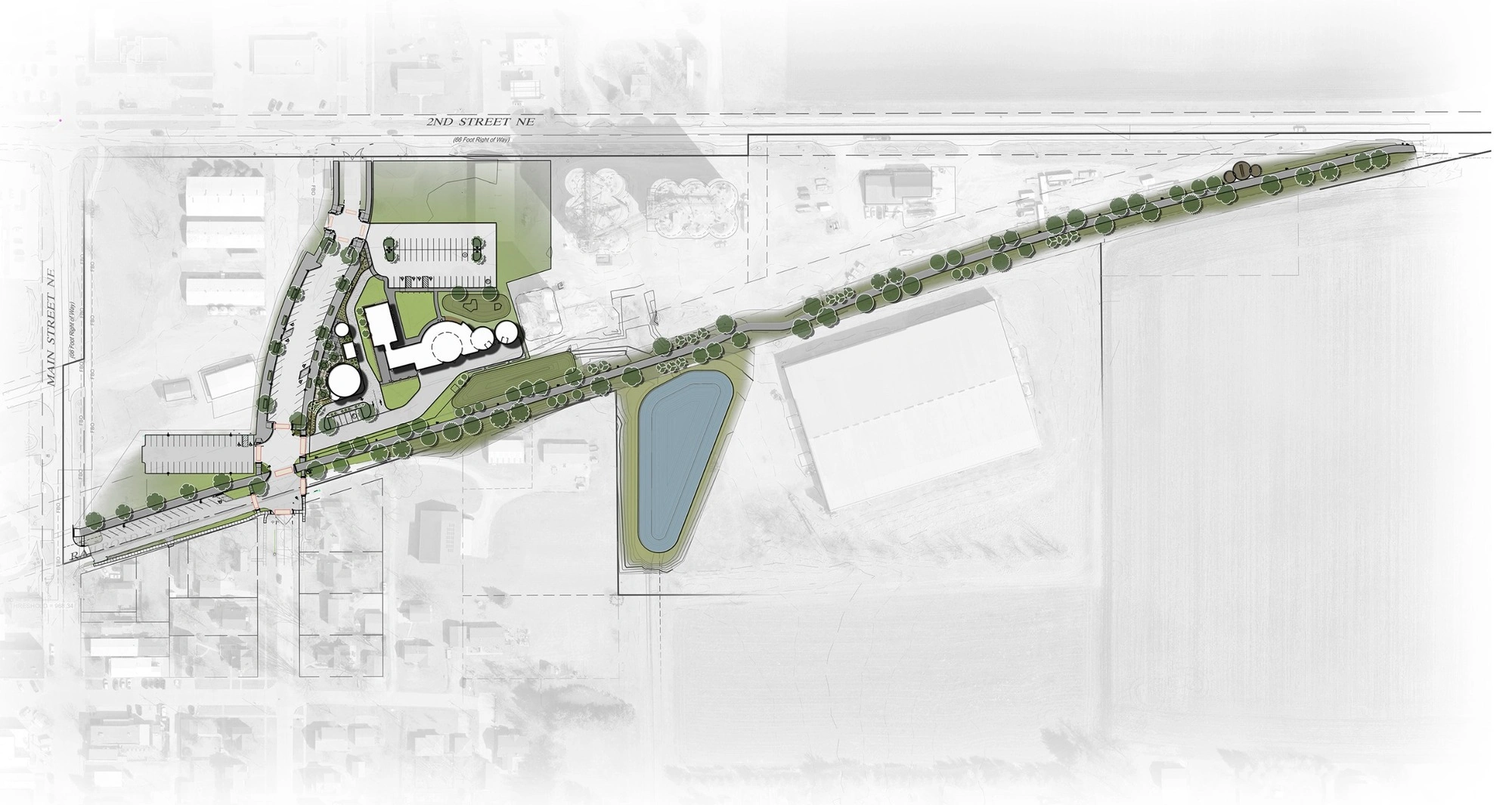
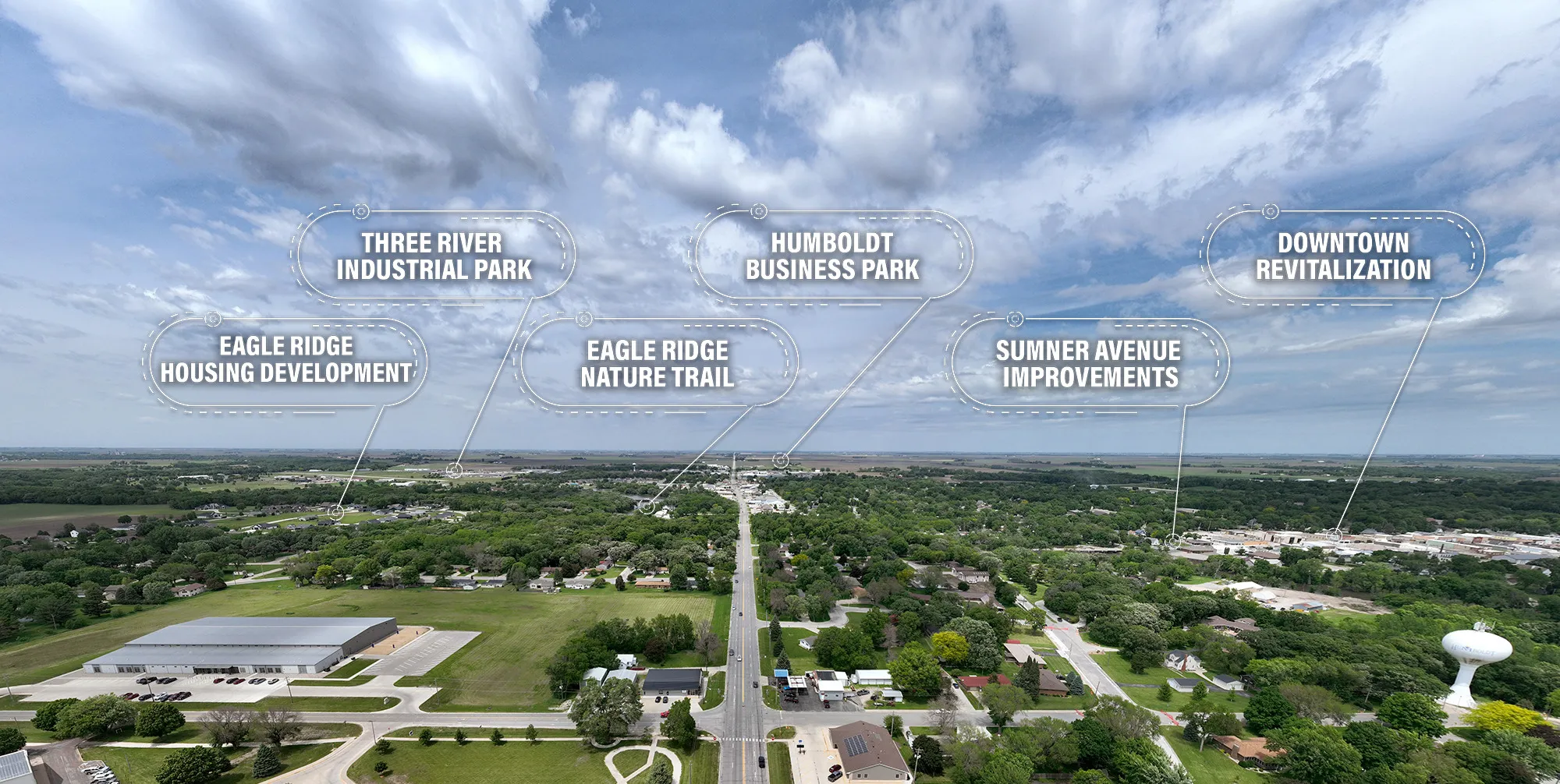
ISG partners with municipalities that prioritize enhancing quality of life for their residents. Serving as an extension of city staff, we are proactive and responsive, delivering municipal engineering and planning solutions for sewer systems and utility infrastructure to geographic information systems (GIS) and environmental compliance.
As a true full-service firm, we see the big picture and offer practical, right-sized solutions that guide activities and help prioritize community improvements. By listening attentively to understand your community's unique needs, ISG ensures that our municipal engineering and planning solutions are delivered at the right time and are scalable as your community evolves.
Expertise
- Capital Improvement Planning
- Community Master Planning
- Community Outreach + Engagement
- Downtown Master Planning
- Economic Development Plans
- Environmental Planning
- Facility Assessments
- Funding + Grant Assistance
- Industrial Developments
- Infrastructure Planning
- Land Use + Zoning
- Neighborhood + Corridor Planning
- Parks Master Planning
- Social Services Planning
- Transportation Planning
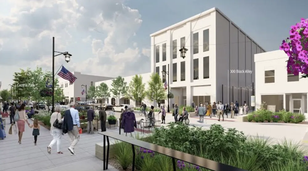
Municipal Planning Portfolio
-2.webp)

.webp)
.webp)
_webfull-1.webp)
-1.webp)


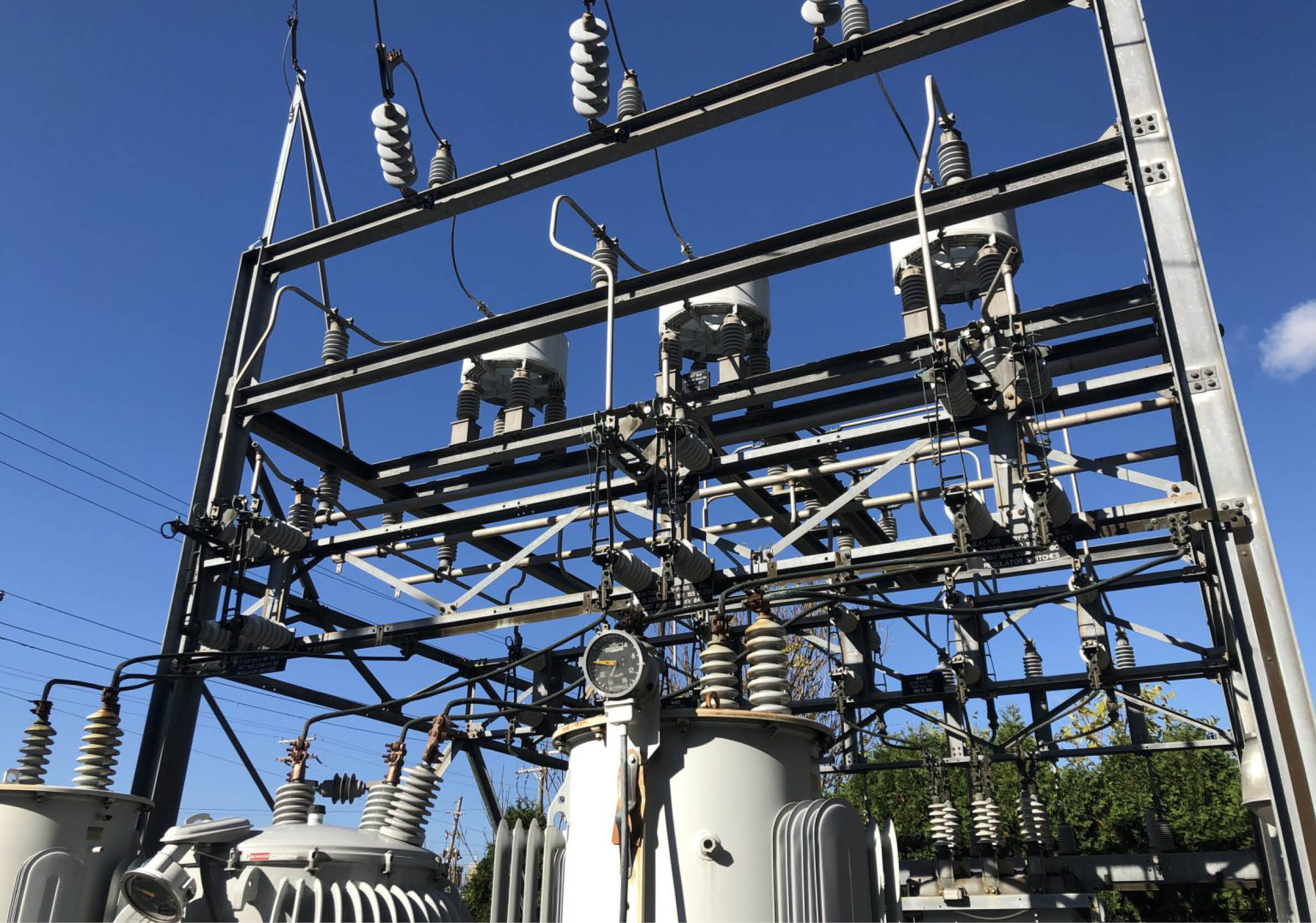
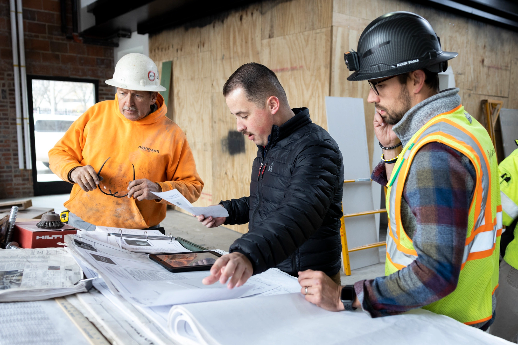
Municipal Engineering
ISG partners with municipalities that prioritize enhancing quality of life for their residents. Serving as an extension of city staff, we are proactive and responsive, delivering municipal engineering solutions ranging from sewer systems and utility infrastructure to planning and geographic information systems (GIS).
As a true full-service firm, we see the big picture and offer practical, right-sized solutions that guide activities and help prioritize community improvements. By listening attentively to understand your community's unique needs, ISG ensures that our solutions are delivered at the right time and are scalable as your community evolves.
Expertise
- Construction Observation
- Extension of City Staff
- Environmental Compliance
- Facilities Planning + Assessments
- Funding Assistance
- GIS + Innovative Technologies
- Hydraulic + Water Quality Modeling
- Municipal Planning
- Pavement Management
- Parks and Recreation Spaces
- Resource Planning
- Stormwater Management
- Streets + Corridors
- Utility Infrastructure
- Wastewater System Planning + Design
- Wastewater Treatment
- Water and Wastewater Operations, Training, and Optimization
- Water Distribution + Storage
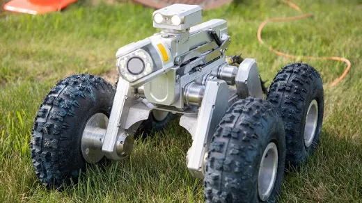
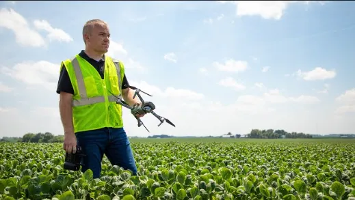
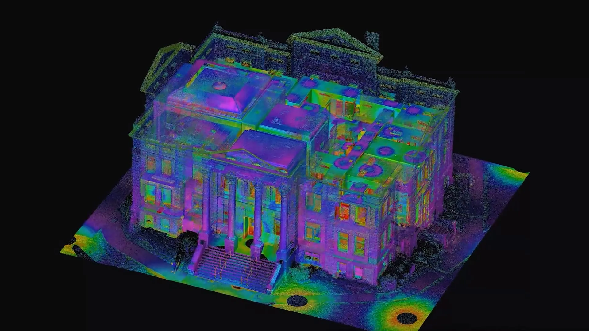
Municipal Engineering Portfolio
-1.webp)
-1.webp)
_webfull.webp)
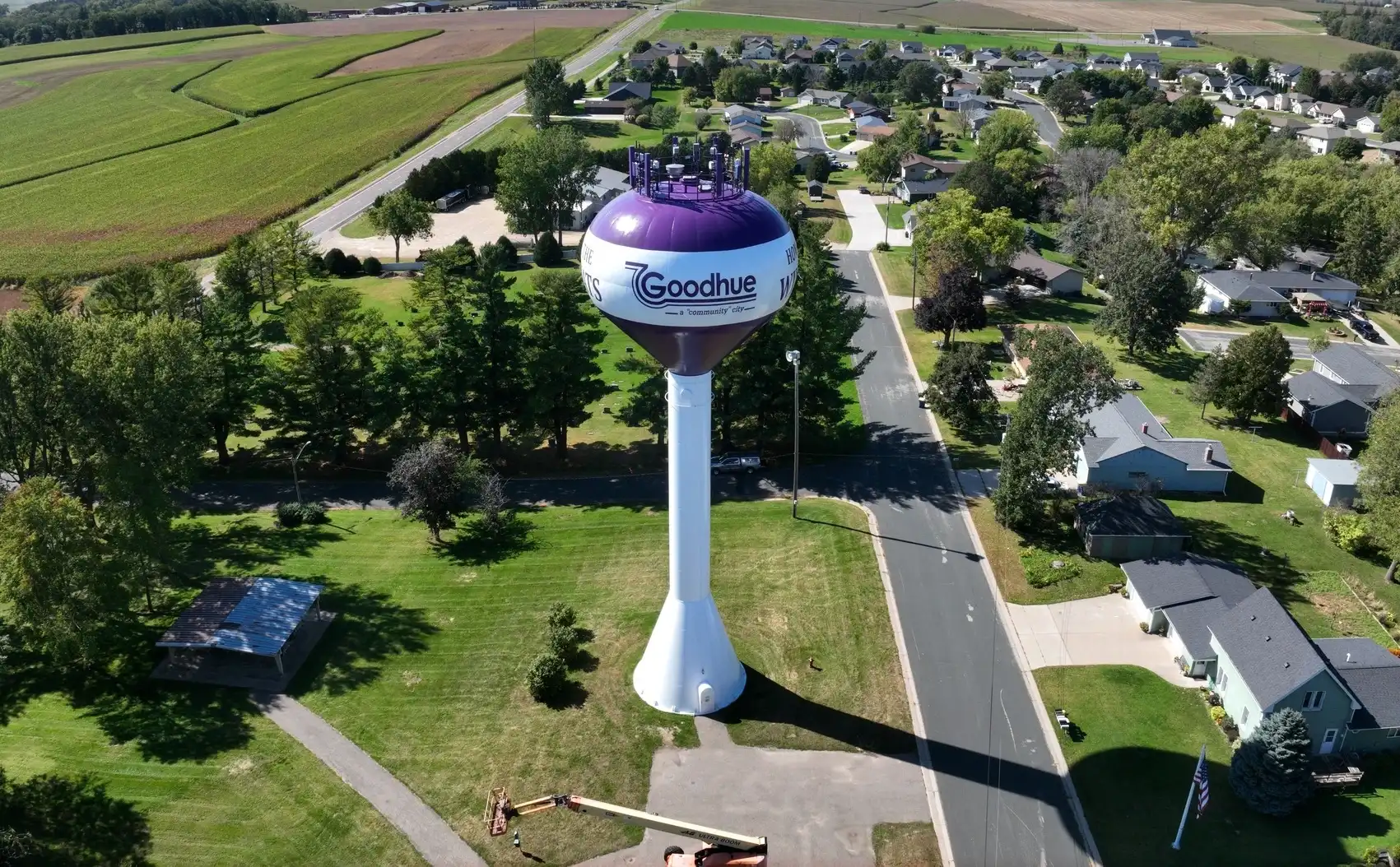
Drinking Water
Water is vital for everyone, everywhere. ISG is committed to ensuring communities have safe, accessible drinking water. Our experts specialize in protecting your source water, employing advanced treatment techniques, and efficiently managing distribution and storage. We will be by your side every step of the way, providing maintenance and operations support to keep things running smoothly.
We focus on resiliency, ease of maintenance, and quality control to deliver tailored solutions. This means designing solutions that are easy to manage while effectively addressing your unique drinking water challenges. Our strong reputation reflects the dedication of our personnel and wealth of experience.
Expertise
- Asset Management
- Emergency Response Planning
- Hydraulic Modeling + Analysis
- Planning, Design, and Construction
- Risk Assessment + Mitigation
- Source Water Protection
- Water Distribution + Pipelines
- Water Operations Training + Optimization
- Water Quality Monitoring + Control
- Water Storage
- Water Supply + Wells
- Water Treatment
Drinking Water Portfolio

-1.webp)


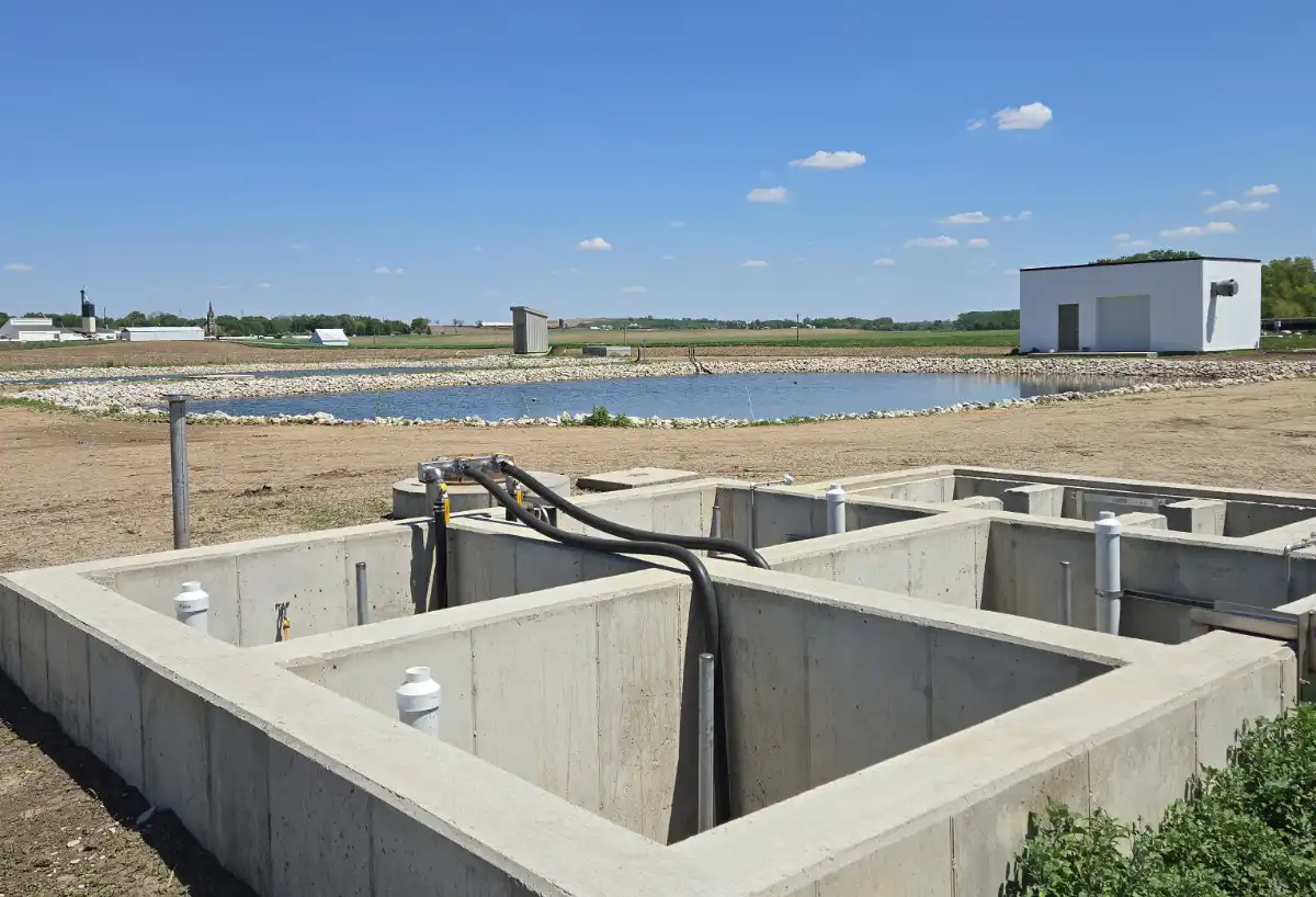
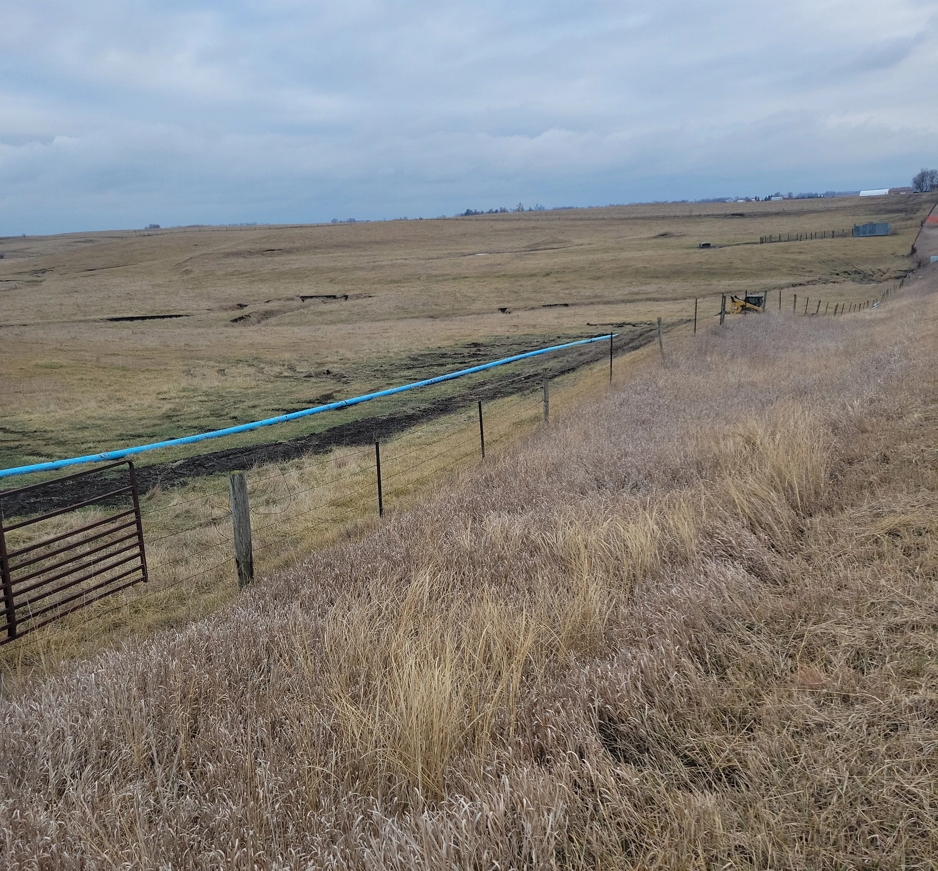
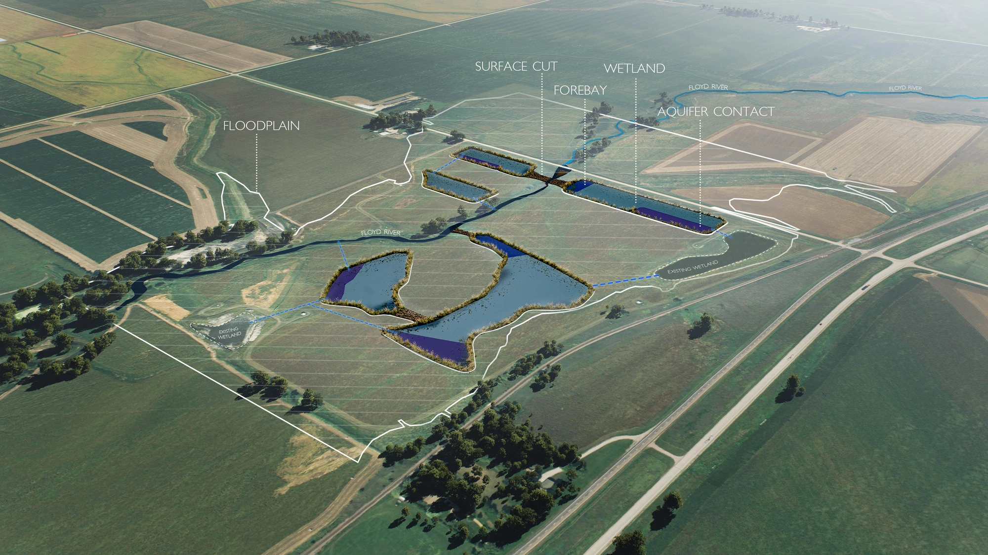
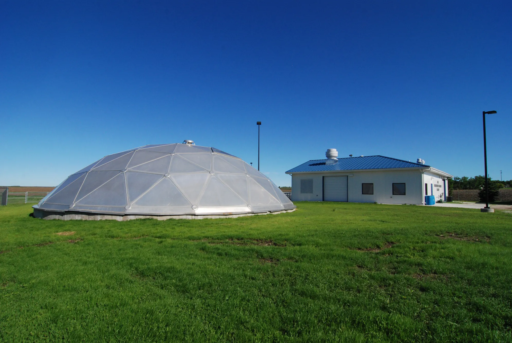
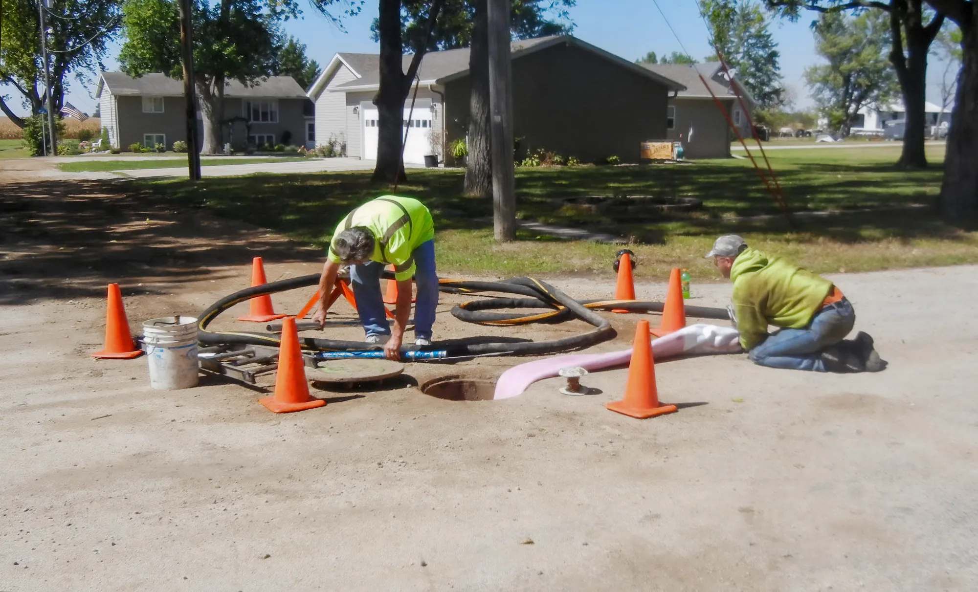
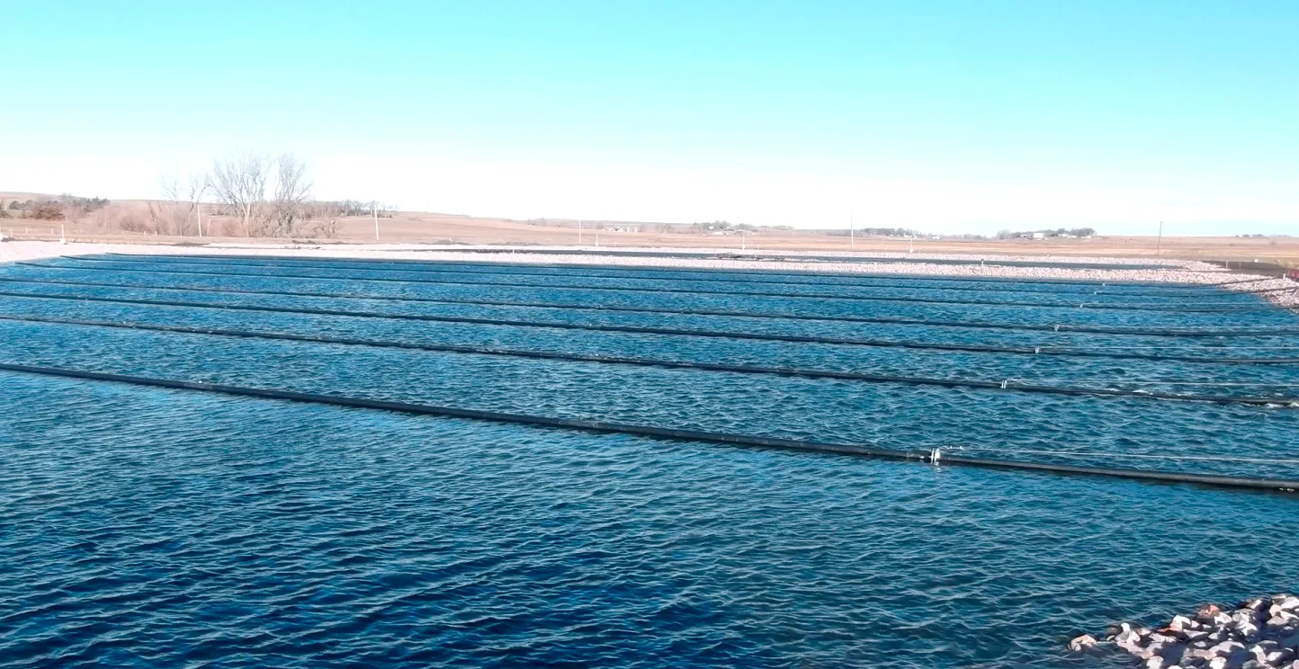
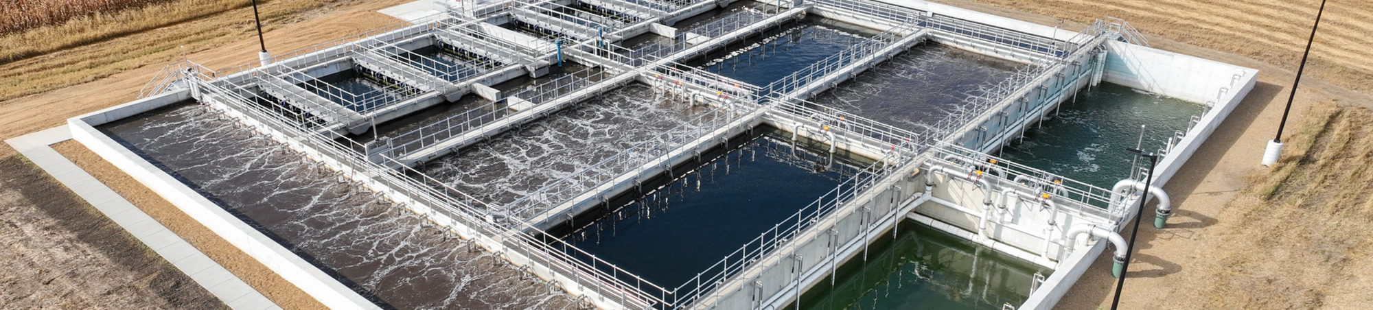
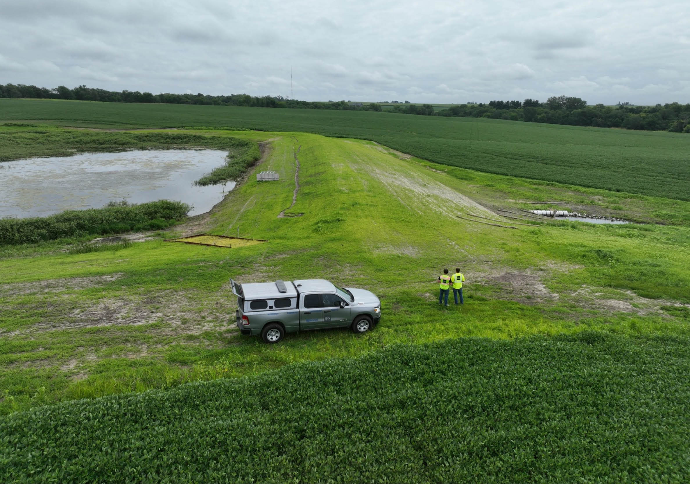
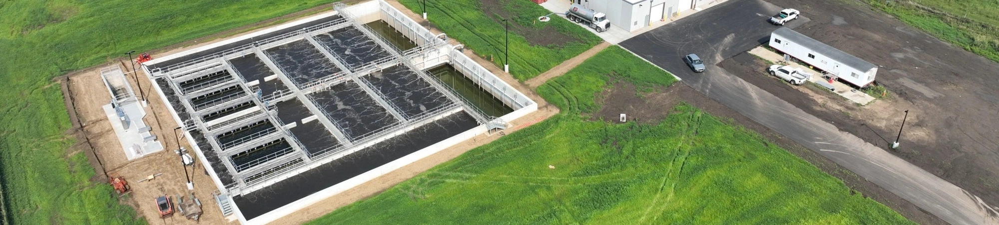
Wastewater
ISG’s wastewater design and engineering professionals are poised to help you overcome wastewater system challenges. We are committed to delivering right-sized outcomes, exemplified by our lagoon treatment system solutions that are tailored specifically for smaller municipalities.
From physical treatment infrastructure to biological and chemical treatment options, ISG works with partners to deliver high-quality wastewater solutions. Our in-depth understanding of regulations, environmental conditions, and advanced treatment systems allow us to confidently plan, design, and address your needs with innovative, budget-appropriate wastewater systems and services that bring you long-term value.
Expertise
- Environmental Regulations
- Industrial Pre-Treatment
- Infiltration + Inflow Studies
- Lift + Pump Station Design
- Municipal Industrial Pretreatment
- Odor Control
- Planning, Design, and Construction
- Regulatory Compliance
- Wastewater Collection System Rehabilitation
- Wastewater System Hydraulic Modeling
- Wastewater Operator Services + Training
- Wastewater Treatment
- Water Reclamation + Reuse
Wastewater Portfolio
2.webp)

The ISG
Difference
We know there is no such thing as a one-size-fits-all solution. That’s why we prioritize communication and strive to serve as an extension of your team.
Looking out for your bottom line, we take partnership to the next level to design the most efficient and cost-effective solutions that are tailored to your community.
- Serve as an Extension of Your Staff
- Local Understanding of Your Community Needs
- In-House Experts + Technologies to Address Complex Challenges
Business Unit Experts
Derek Johnson, PE
Justin Heim, PE


Nick Frederiksen
Michael Novitzki, MBA


Tom Grafft

Amanda Goodenow, PE

Lenny Larson, PE
Bryan Petzel, PE

Brittany Morales

Kris Roppe, PE, CFM

Matt Benovic, PE, MS LEED AP, PMP


Laurent deComarmond, AIA, LEED AP


Tony Effenberger, PE, LEED AP


Business Unit Experts
Derek Johnson, PE
Justin Heim, PE
Nick Frederiksen
Michael Novitzki, MBA
Tom Grafft
Amanda Goodenow, PE
Lenny Larson, PE
Bryan Petzel, PE
Brittany Morales
Kris Roppe, PE, CFM
Business Unit Experts
Derek Johnson, PE
“ISG helped the City of Pleasantville with a major water main improvement project. Their work was timely and accurate, and they held the contractor accountable during construction resulting in a minimal amount of change orders. Their efforts on the project was one of the many reasons why the City selected them to be our City Engineer.”

.jpg)

.jpg)


Blueprints + Building Blocks
Dream, draw, and build the future with ISG!
The Latest From ISG


.webp)


Let's Chat.
