Streamlining Hydrant Maintenance: GIS On-Call Impact
The City of Vadnais Heights, Minnesota, like many municipalities, faced the challenge of maintaining its infrastructure with limited staff. With an increasing demand for efficient, cost-effective services, the City engaged ISG as their on-call GIS consultant to explore how geographic information systems (GIS) technology could enhance their asset management efforts. The result? A customized hydrant inspection dashboard that is easy to use, accurate, efficient, and transformed their approach to hydrant inspections and maintenance.
A Custom Solution
ISG’s GIS team worked closely with City staff to design a fully customizable hydrant inspection dashboard. The tool provides on-the-go access for City staff to track maintenance schedules, record inspections, and receive repair alerts in areas that need immediate attention. This streamlined process has allowed the City to focus on maintenance and better allocate City resources, all while improving public safety.
.webp)
Key Features
- Maintenance Tracking: The dashboard logs every interaction with a hydrant, preventing duplicate efforts.
- Repair Alerts: When an issue is identified, the system immediately sends alerts to staff, enabling quick response, and timely repairs.
- Scheduling: The dashboard simplifies routine inspection schedules and future maintenance.
- Custom Surveys: Using an easy-to-use mobile data collection application, the City can customize data collection forms in the field, including adding utilities, uploading photos, and creating additional dashboards for other infrastructure needs.
The Power of ISG’s GIS Expertise
What sets this project apart is the expertise of ISG’s GIS manager, Luis Swanson. With two decades of experience improving municipal efficiency, planning, and data-driven decision making, Luis brings a deep understanding of how to apply GIS technology to solve real-world problems. His hands-on approach allowed him to create a customized asset management dashboard that is user-friendly and effective in addressing the City’s unique challenges.
.webp)
Adding Value with Advanced Technologies
ISG offers multiple advanced technologies, designed to make decisions faster, processes more efficient, and projects more cost-effective. In addition to asset management, a GIS dashboard can help municipalities manage traffic flow and public transit routes, consolidate zoning maps and development trends, and provide residents with an interactive platform to view public project status. The possibilities foster greater transparency and engagement. From custom data collection forms fully integrated GIS solutions, these cutting-edge tools ensure that clients get the most out of their investment.
Next Steps: Does Your GIS System Meet Your Needs?
Consider how GIS can enhance your asset management capabilities. How do your current systems serve your community? Are there opportunities to streamline processes and improve efficiency? We encourage you to assess their effectiveness and consider how they are impacting your community and staff.
Ready to get started? Contact Michael Novitzki to explore how GIS technology can improve efficiency, save resources, and drive lasting and impactful change.
.webp)

Related Articles


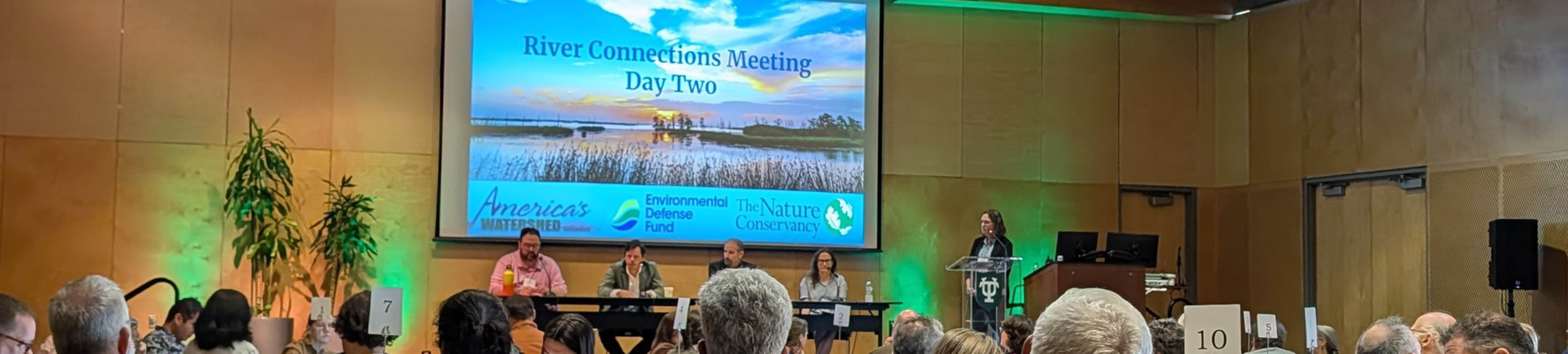
Five Takeaways from River Connections: A Science + Strategy Workshop for the Mississippi River Watershed
Science and Strategy Workshop for the Mississippi River Watershed, hosted by Tulane University in partnership with America’s Watershed Initiative and The Nature Conservancy, brought together practitioners from across the 31-state Mississippi River Basin to explore how research, policy and implementation are aligning to address shared challenges.