Engineering Services
Problem-Solving Your Toughest Challenges
ISG engineers are problem-solvers. They tackle complex challenges head-on to bring you the best solutions, from roads and sites to buildings and public spaces. Through direct expertise, we use contextual design to effectively address each critical project component—delivering sound, sustainable solutions.
Engineering Services include:
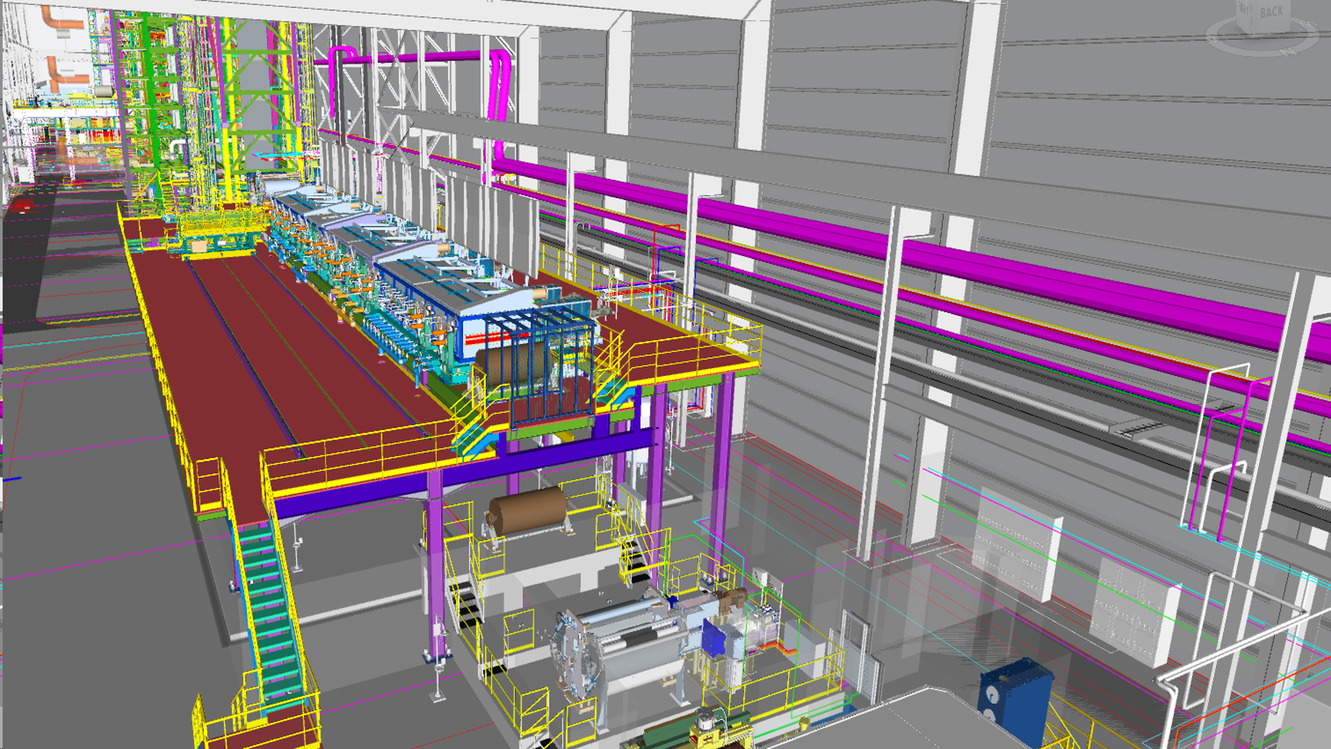
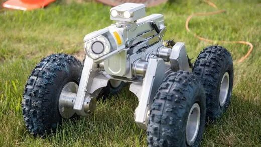
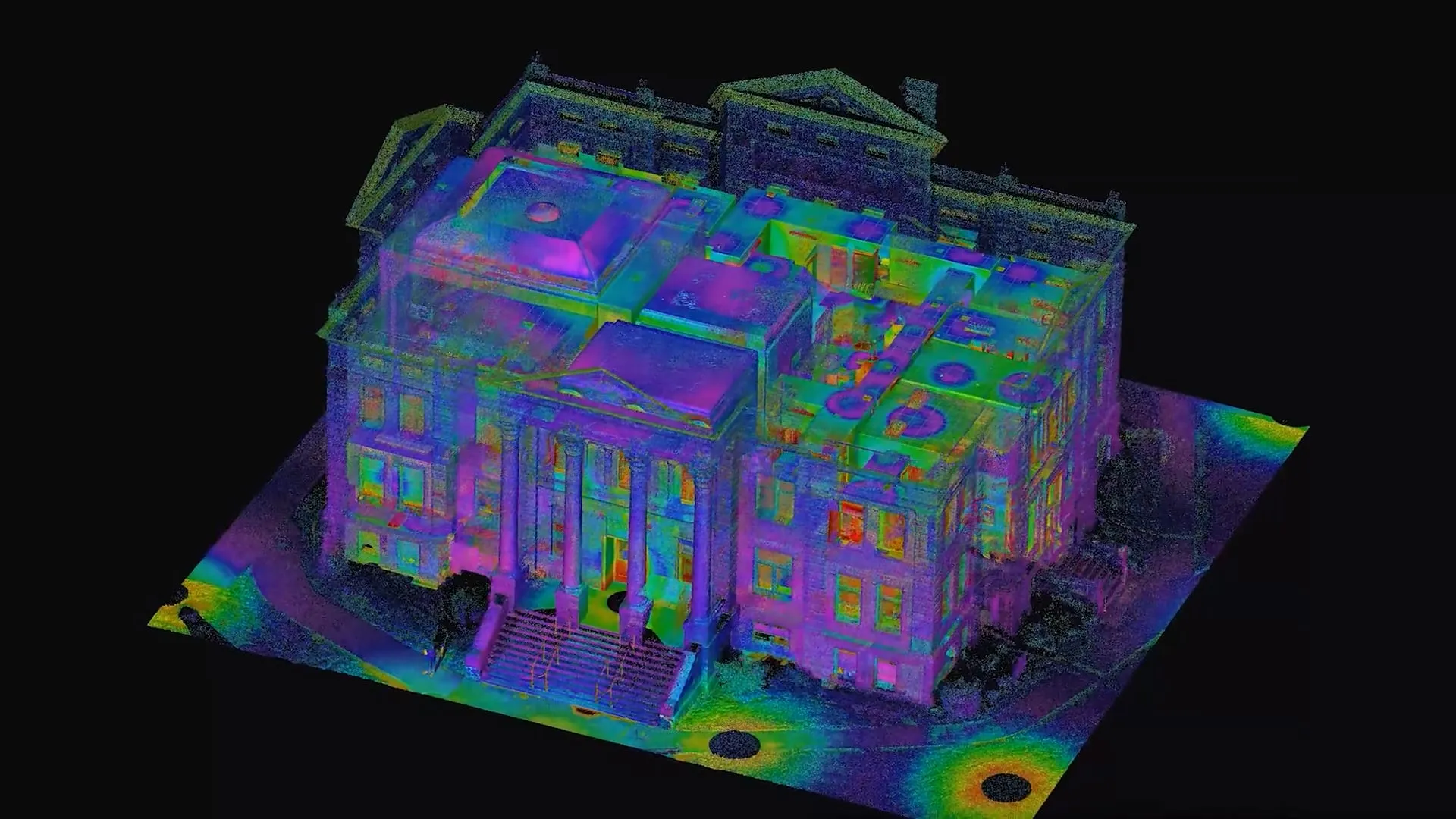
- 3D Scanning
- Civil Engineering
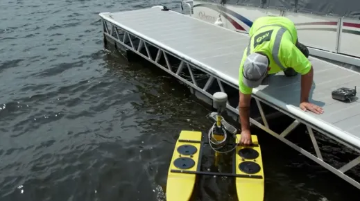
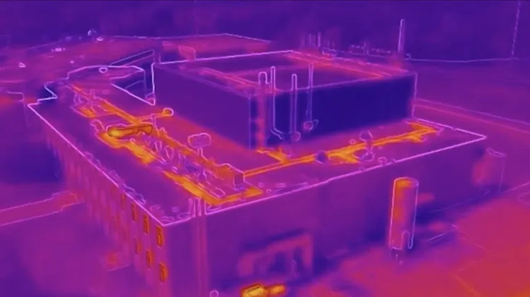
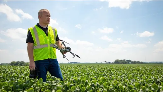
- Drone
- Electrical Engineering
- Land Surveying
- Mechanical Engineering
- Refrigeration Engineering
- Structural Engineering
- Technology Engineering
- Telecommunications Engineering
- Transportation Engineering
- Water/Wastewater Engineering

A Different Approach to Design + Engineering
Everything we do is driven by data and collaboration. ISG engineers operate with precision from day one.
We start by selecting the right team for your project and then use a multidisciplinary approach and owner mindset to deliver results that work for you.
- Cost-Effective Solutions
- Increased Efficiencies
- Streamlined Project Timelines
- Informed Decision-Making
- Full-Service Technical Expertise
Engineering Expertise
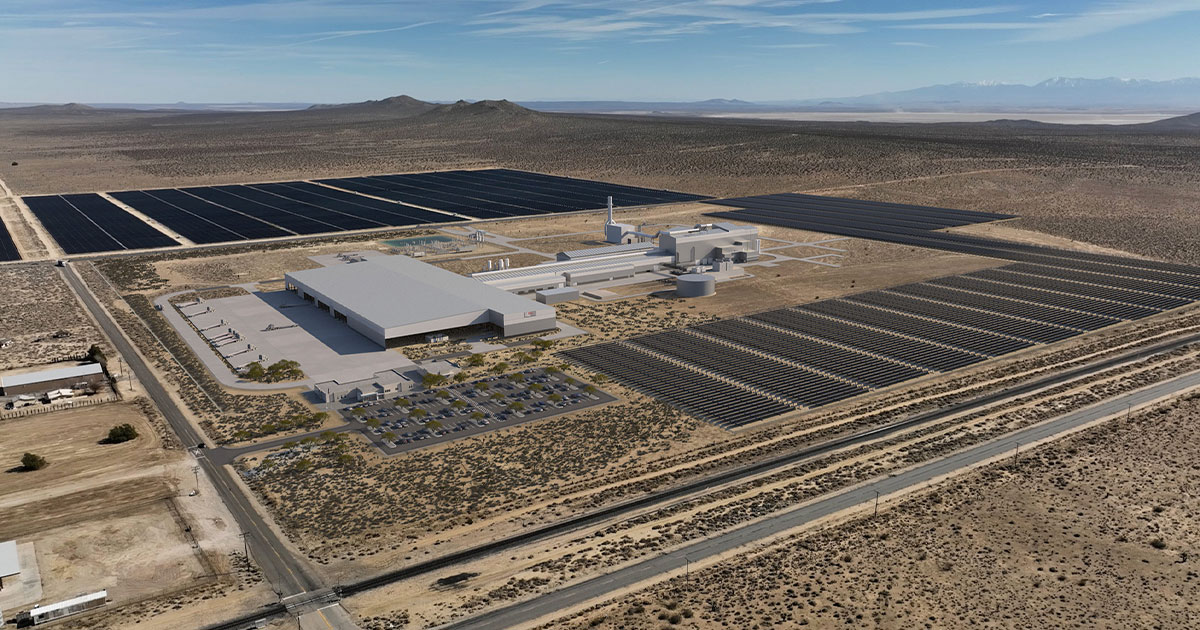
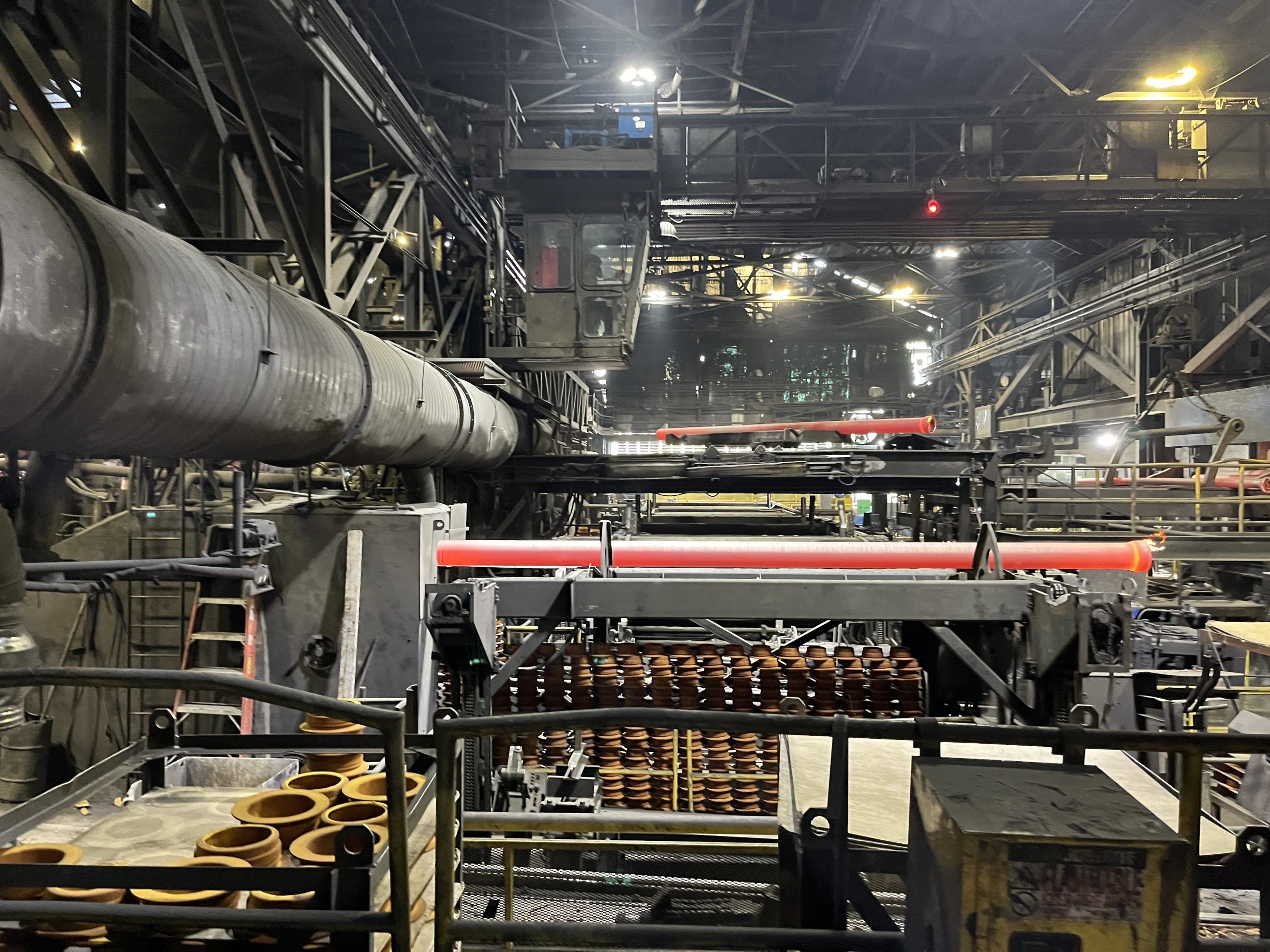
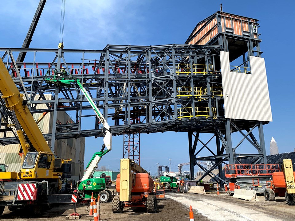
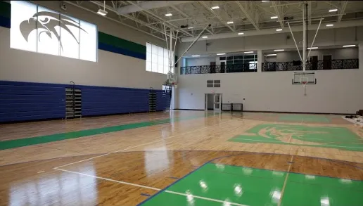
Project Portfolio
-1.webp)

Business Units

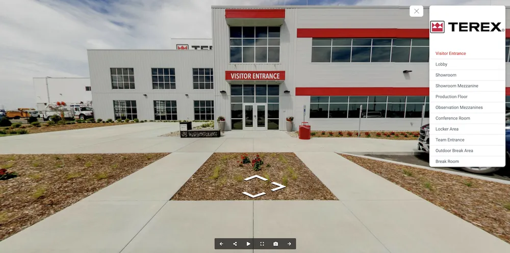
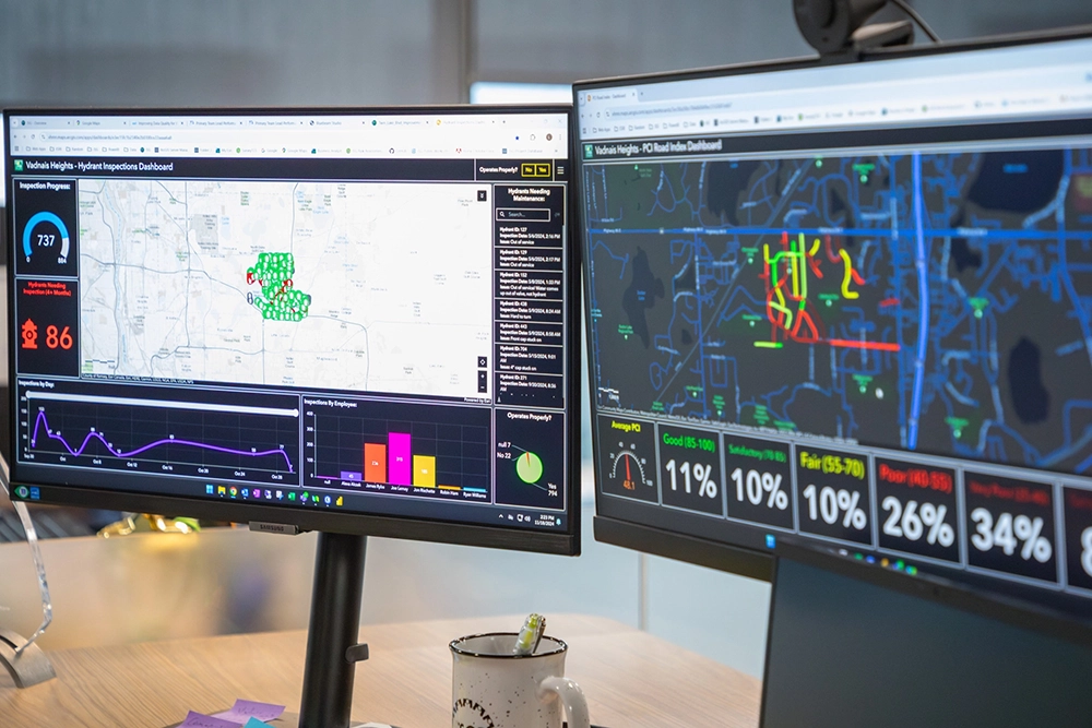
Applied Tech in Action
.jpg)

Designer Placeholder item
Short description about the media. This needs to be limited to a specified maximum character limit so that the slider will function properly.
.jpg)
Designer Placeholder item
Short description about the media. This needs to be limited to a specified maximum character limit so that the slider will function properly.


Technology in Action Newsletter
View our interactive hub and explore cutting-edge tools, technologies, and geospatial solutions powering ISG’s work across disciplines. Dive in to see how ISG brings ideas to life through technology.

"The most exciting part about working at ISG is getting to learn new processes and approaches, then applying it different projects based on client need. Especially in the consulting world, where everything is always changing. ISG supports learning and trying new things to find the best solution."
_webfull.jpg)
Let's Chat.