Environmental Services
Trusted Advocates + Experts
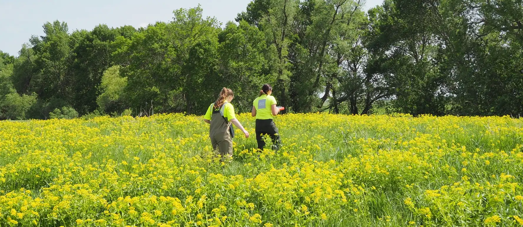
The protection and restoration of environmental resources are vital components of building a sustainable future. Minimizing project impacts on water, wetlands, trees, and endangered species is essential to maintain a healthy ecosystem.
Environmental protection best practices improve the quality of life in a community. This is why ISG environmental scientists and experts are involved from the onset of your project. From assessments and planning to post-project monitoring, our team provides comprehensive service for the restoration and protection of environmental assets.
Environmental Services include:
- Assessments + Review
- Geographic Information Systems
- Permitting + Compliance
- Planning + Feasibility
- Testing + Monitoring
Leaders in Complex Water Challenges
Our expertise in everything from watershed planning and infrastructure repair to surface water storage and green practices make us a leader in water resource management. This proficiency allows us to provide clients with responsive, reliable information to make confident decisions that minimize the impact on the environment.
ISG has certified environmental scientists, arborists, and plant ecologists with years of experience in-house and in the field. Our expertise, paired with investment in applied technologies, makes us well-equipped to address any environmental needs in your community.
- Restoration + Preservation Experts
- Streamlined Project Timelines
- Minimized Project Footprint
Environmental Expertise
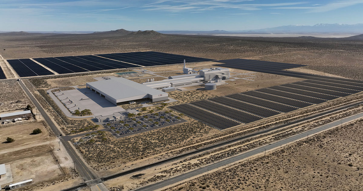
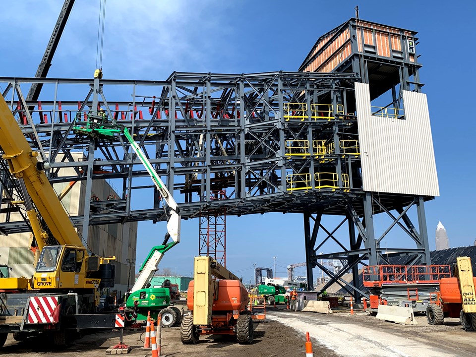
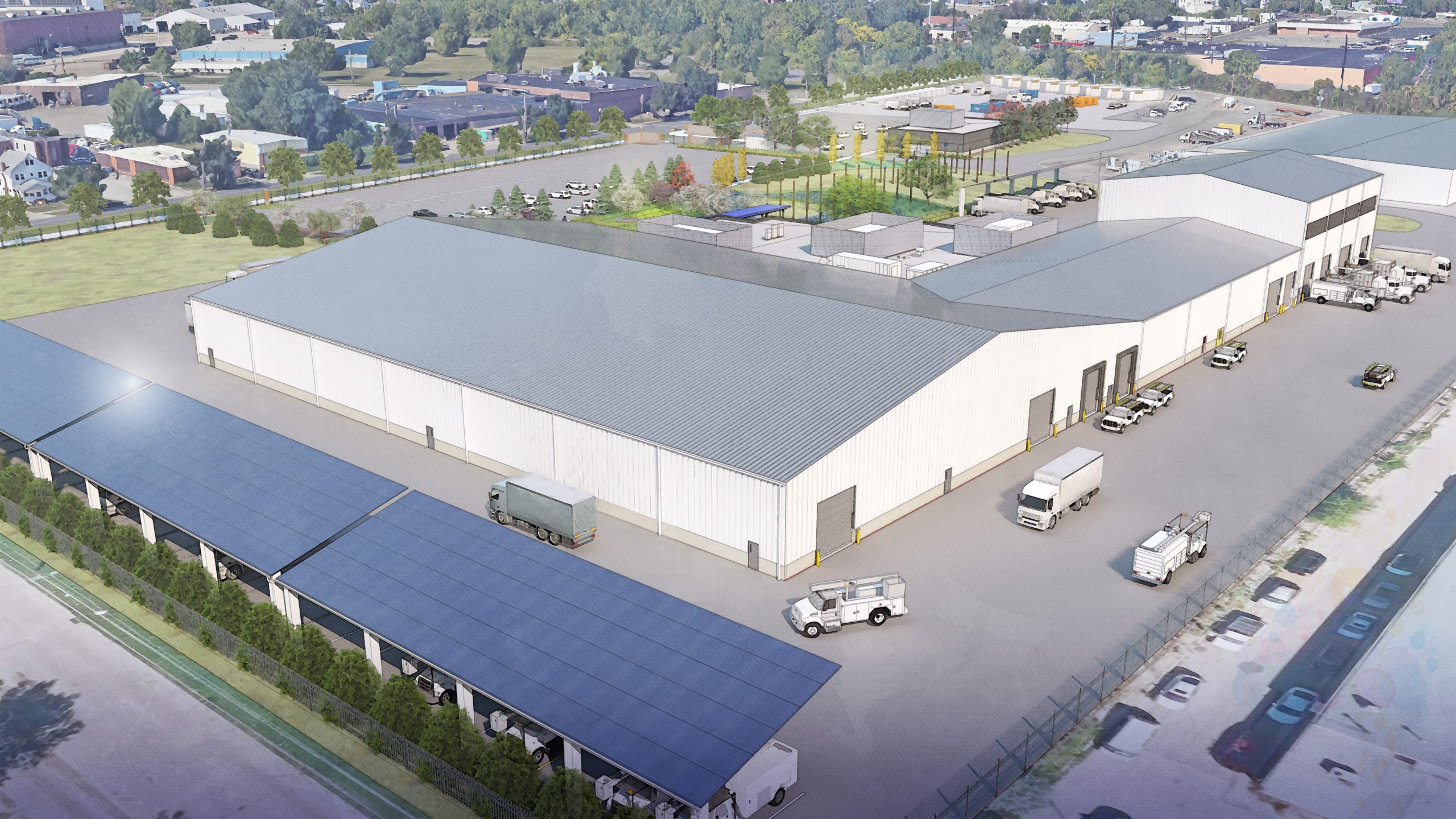
Project Portfolio
-1.webp)


Business Units

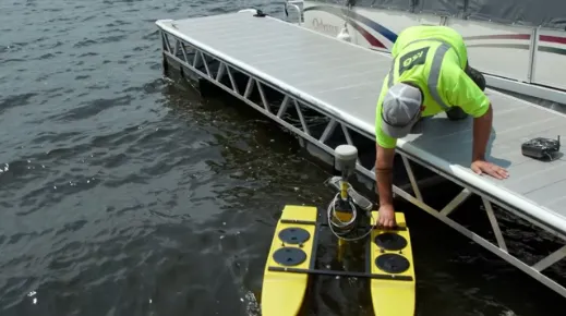
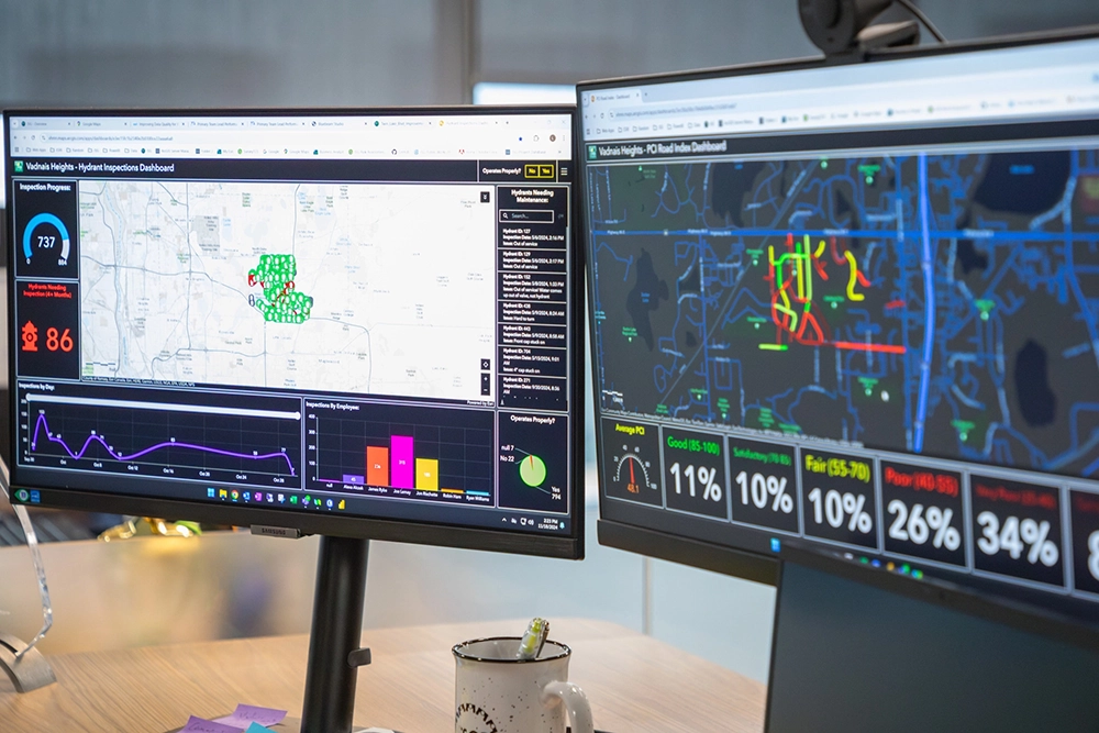
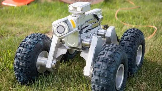
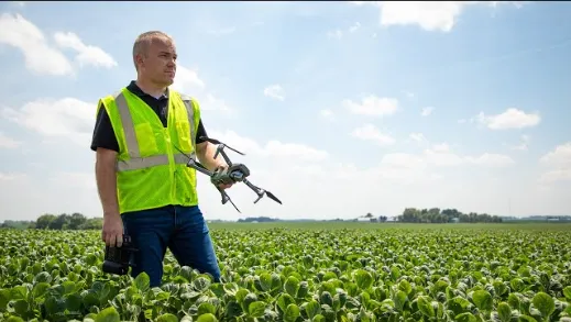
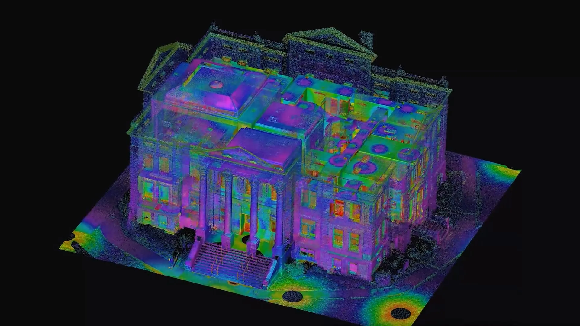
Applied Tech in Action
.jpg)

Designer Placeholder item
Short description about the media. This needs to be limited to a specified maximum character limit so that the slider will function properly.
.jpg)
Designer Placeholder item
Short description about the media. This needs to be limited to a specified maximum character limit so that the slider will function properly.


Technology in Action Newsletter
View our interactive hub and explore cutting-edge tools, technologies, and geospatial solutions powering ISG’s work across disciplines. Dive in to see how ISG brings ideas to life through technology.
"As a watershed scientist, I am passionate about leveraging my experience in water quality modeling and facilitation to protect and improve the country's water resources."

Let's Chat.