Planning Services
Addressing Community Challenges
Enhancing and maintaining vital infrastructure for communities requires having people in your corner that can help secure funding, establish partnerships, and plan for the future. Our planning services range from large community development plans that establish municipal funding priorities to needs assessments and site evaluations for industrial, educational, and commercial clients.
No matter the project, ISG can help you navigate planning logistics and secure the necessary data and resources to bring your project from idea to reality.
Planning Services include:
- Development
- Engagement
- Funding
- Marketing
- Project Evaluation
- Referendum Assistance
- Urban Design

Data-Driven Decision-Making
An ability to help clients set clear and quantifiable objectives is a cornerstone of our planning success. We approach each project as innovative and data-driven experts, setting specific goals and outlining the steps necessary to reach them.
Careful planning and data gathering allows us to provide solutions that are supported, based on consensus, and are realistic to implement—so that your community can build projects exactly when they are needed.
Planning Expertise
Project Portfolio
-1.webp)


Business Units

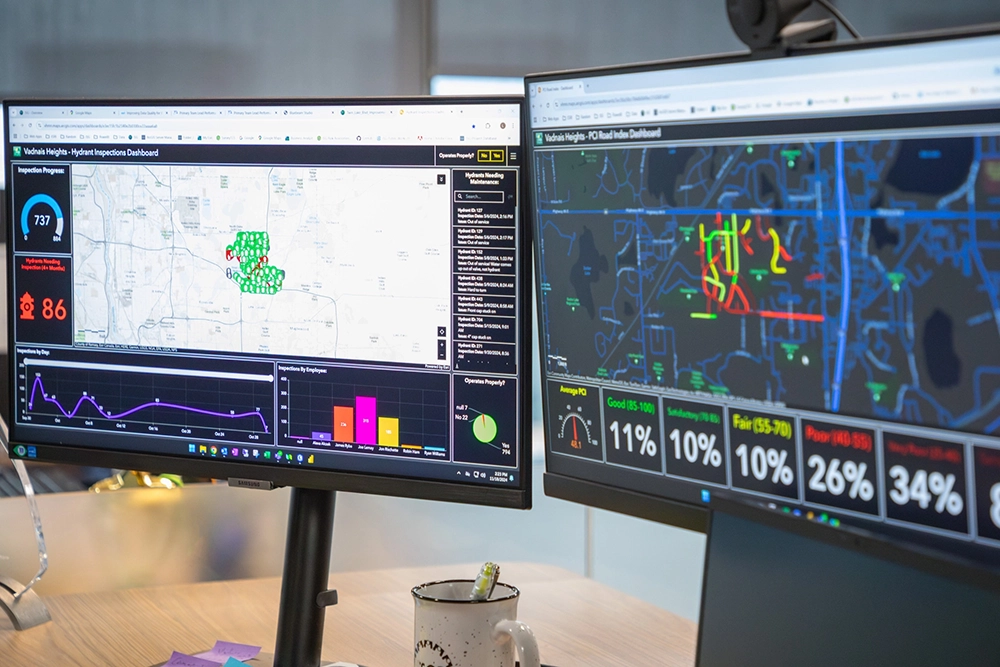
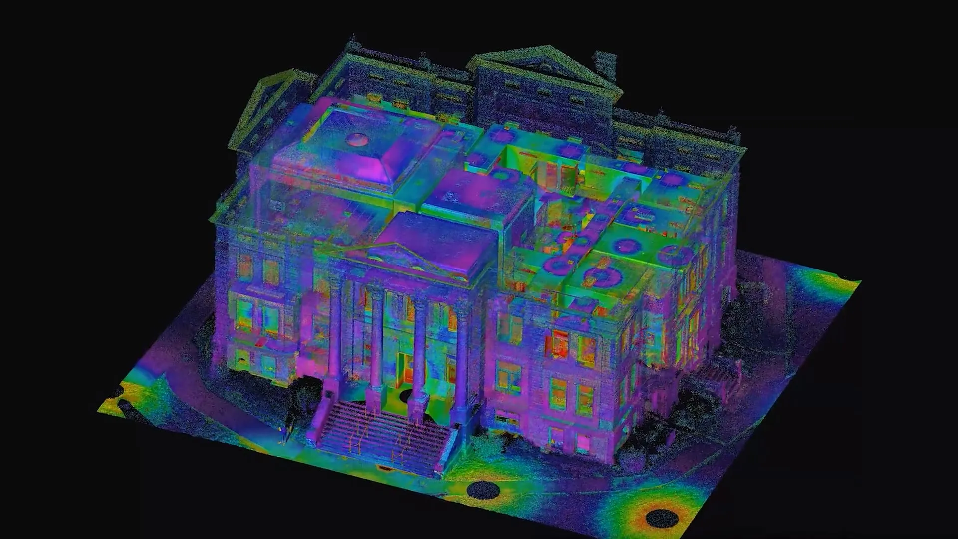
Applied Tech in Action
.jpg)

Designer Placeholder item
Short description about the media. This needs to be limited to a specified maximum character limit so that the slider will function properly.
.jpg)
Designer Placeholder item
Short description about the media. This needs to be limited to a specified maximum character limit so that the slider will function properly.


Technology in Action Newsletter
View our interactive hub and explore cutting-edge tools, technologies, and geospatial solutions powering ISG’s work across disciplines. Dive in to see how ISG brings ideas to life through technology.


"I LOVE what I do. It is the best feeling to be part of projects that are making the places we all see, experience, and adore just a bit... more."

Let's Chat.