Food + Industrial
Food + Industrial Expertise
Food processing, food production, metals, and manufacturing industries all play a crucial role in our communities. Beyond providing essential nourishment and products, they fuel innovation, job creation, and technological advancements to meet the diverse needs of our growing population.
The responsive ISG manufacturing, industrial wastewater, metals, and food processing facility design experts will guide you through site selection, planning, design, engineering, and project delivery. The result? A facility that complies with regulatory requirements, is tailored to your daily operational needs, optimizes efficiencies, and maximizes your return on investment.
Food + Beverage
Whether you are a manufacturer in the dairy, poultry, protein, or milling industry, our technical experts understand the unique operational requirements within each sector of the market. We will provide you with an unparalleled user experience by delivering engineering solutions that that are customized to your business and help you solve your most complex operational challenges—including regulatory, hygiene, and sanitation requirements.
Of equal importance, we have extensive experience across the U.S., are licensed in 45 states, and have a corporate plane to ensure we can provide the level of expertise and responsive service your business requires.
Expertise
- Aseptic Design
- Beef Processing
- Cheese + Dairy Processing
- Egg Processing
- Extended Shelf Life
- Industrial Refrigeration Engineering
- Industrial Wastewater Treatment
- Master Planning
- Milk Processing
- Pork Processing
- Poultry Processing
- Sanitary Design
- Spray Dryers
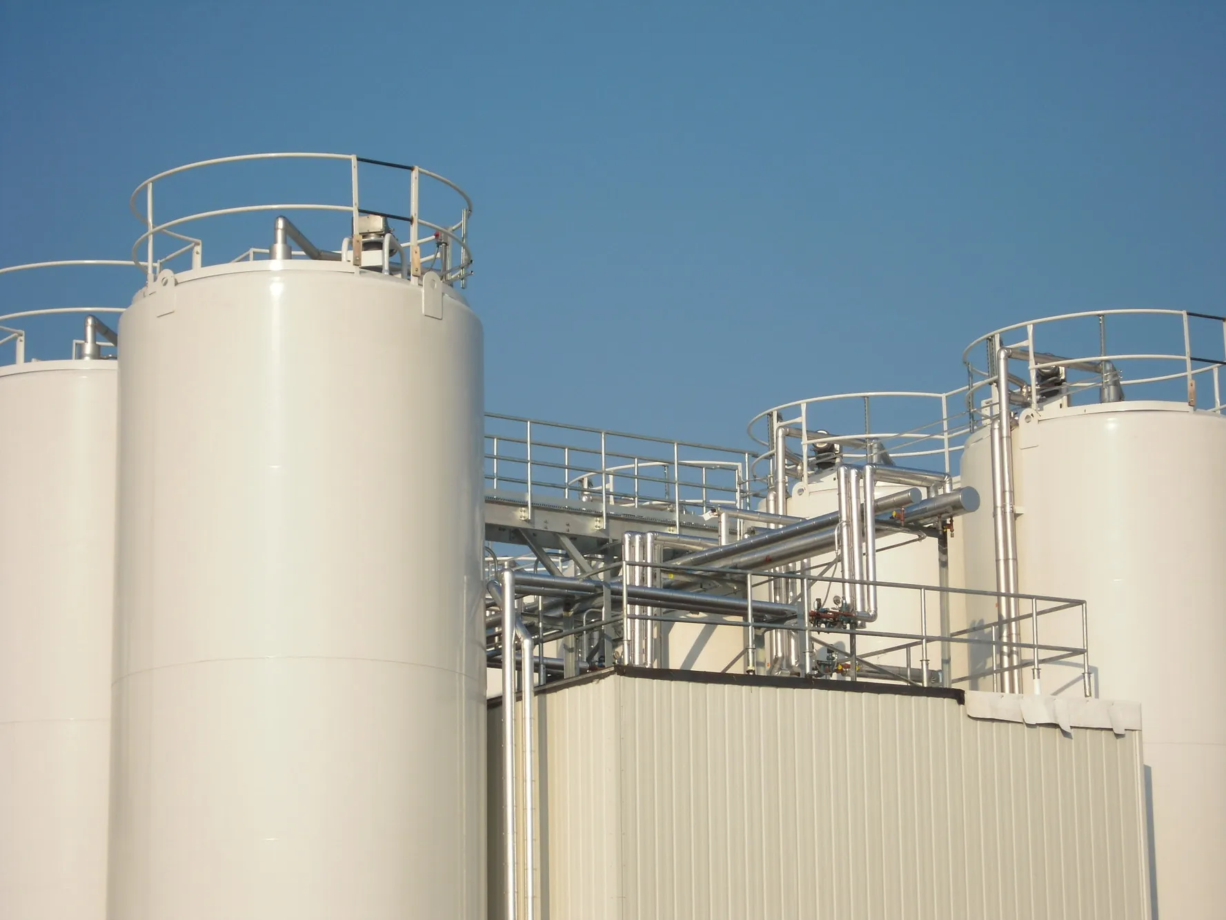
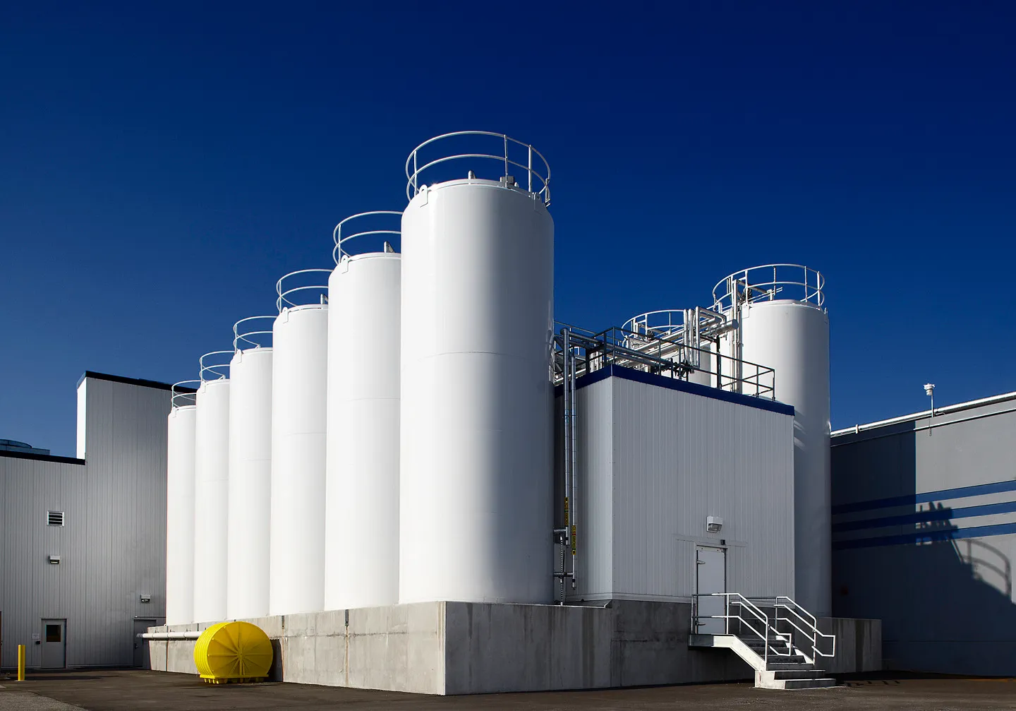
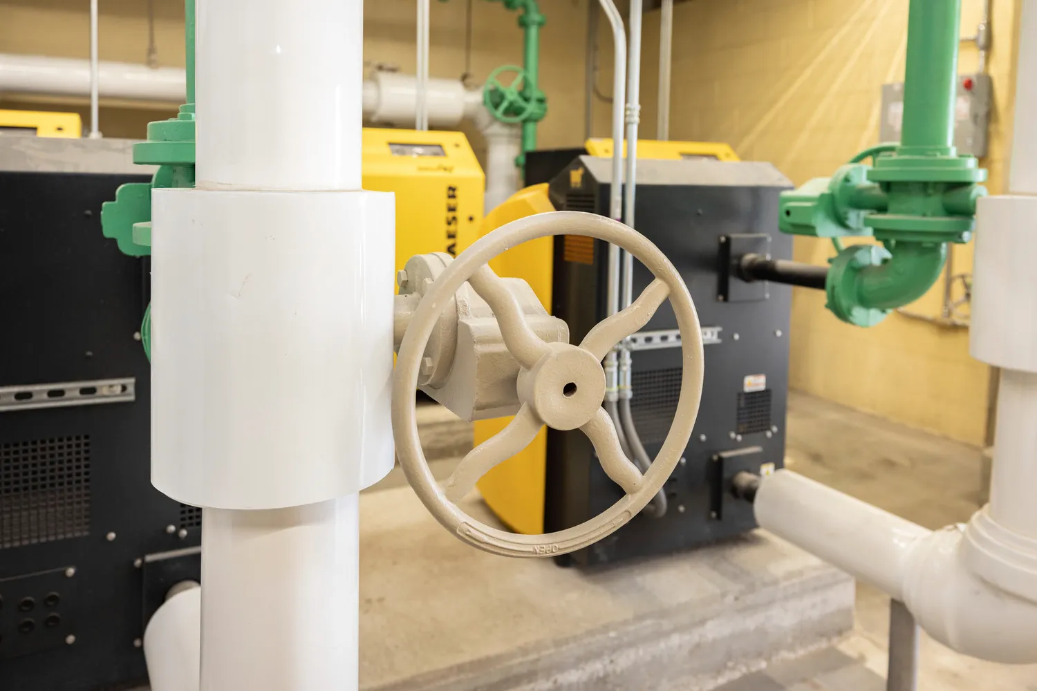
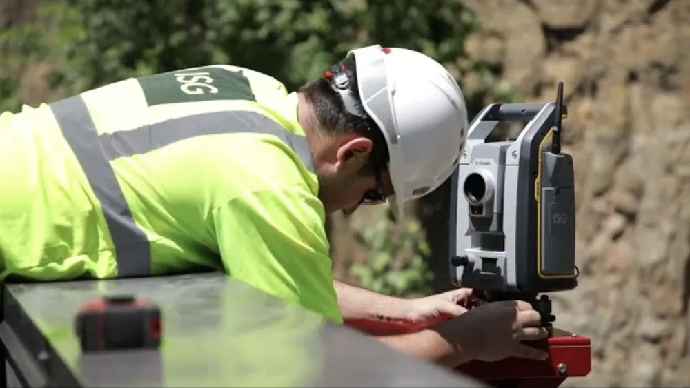
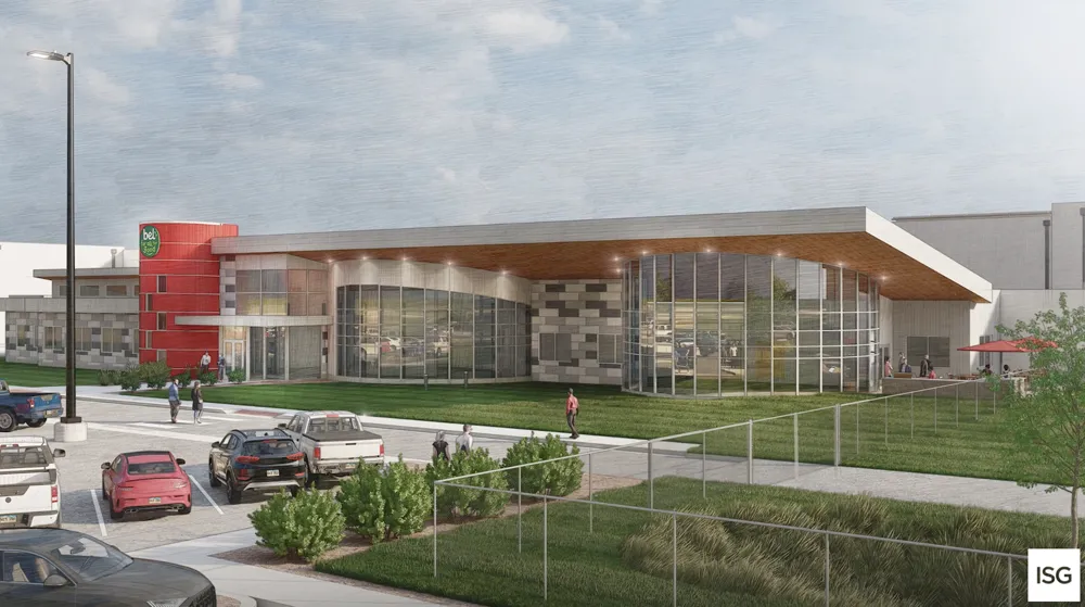
Food + Beverage Portfolio
.webp)

.webp)
-1.webp)
_webfull-1.webp)
-1.webp)
-1.webp)
-1.webp)


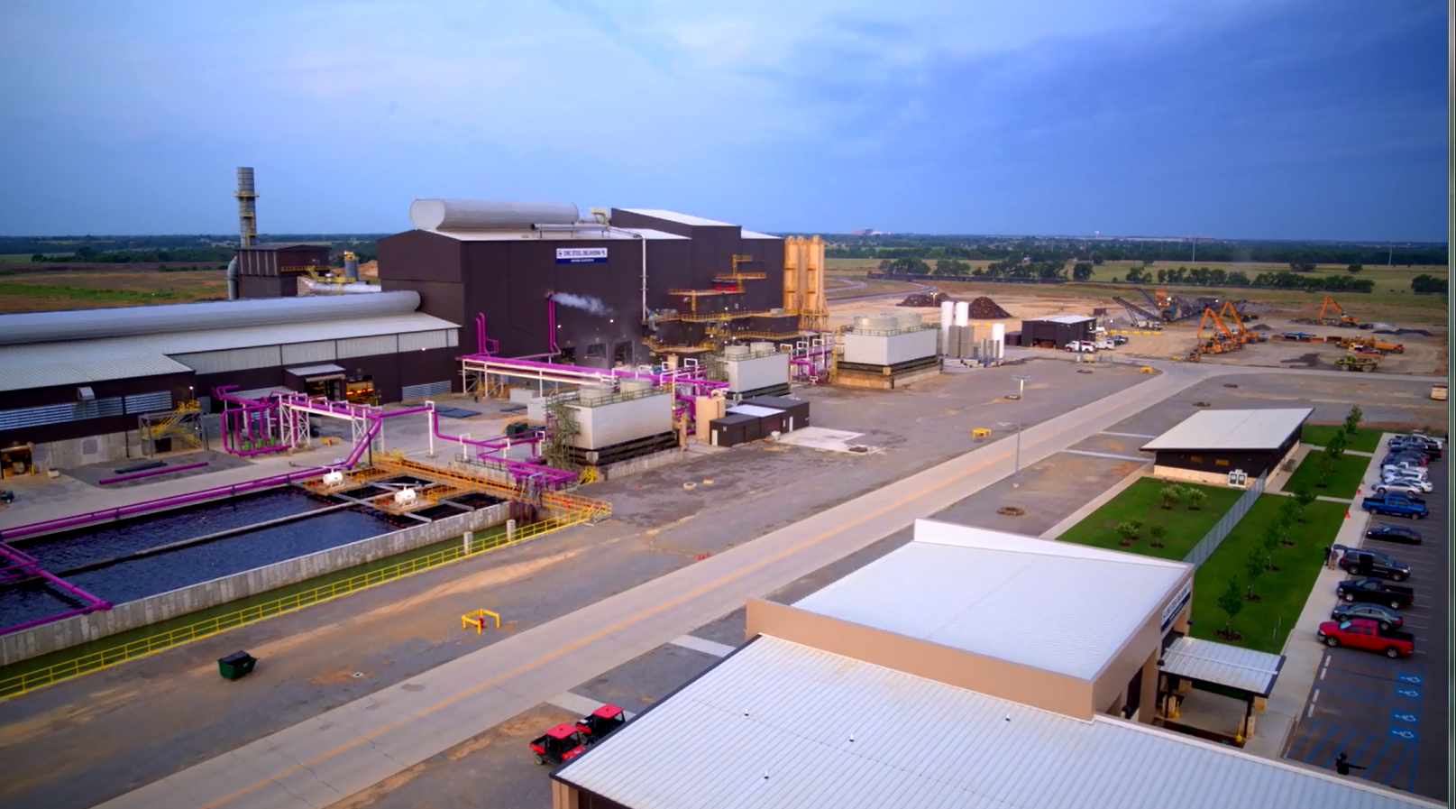
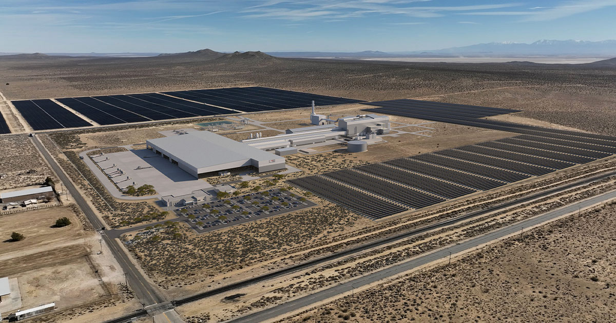
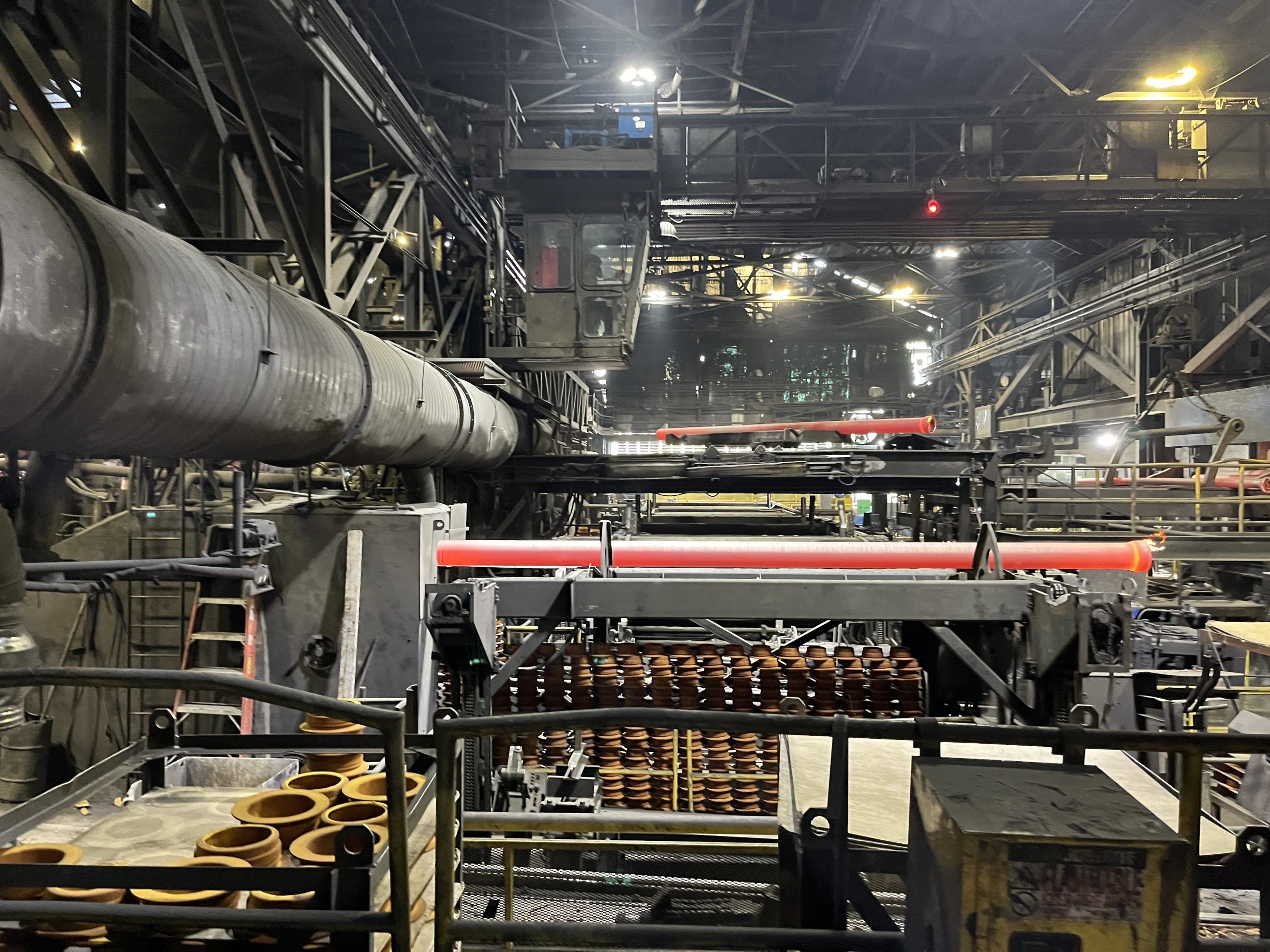
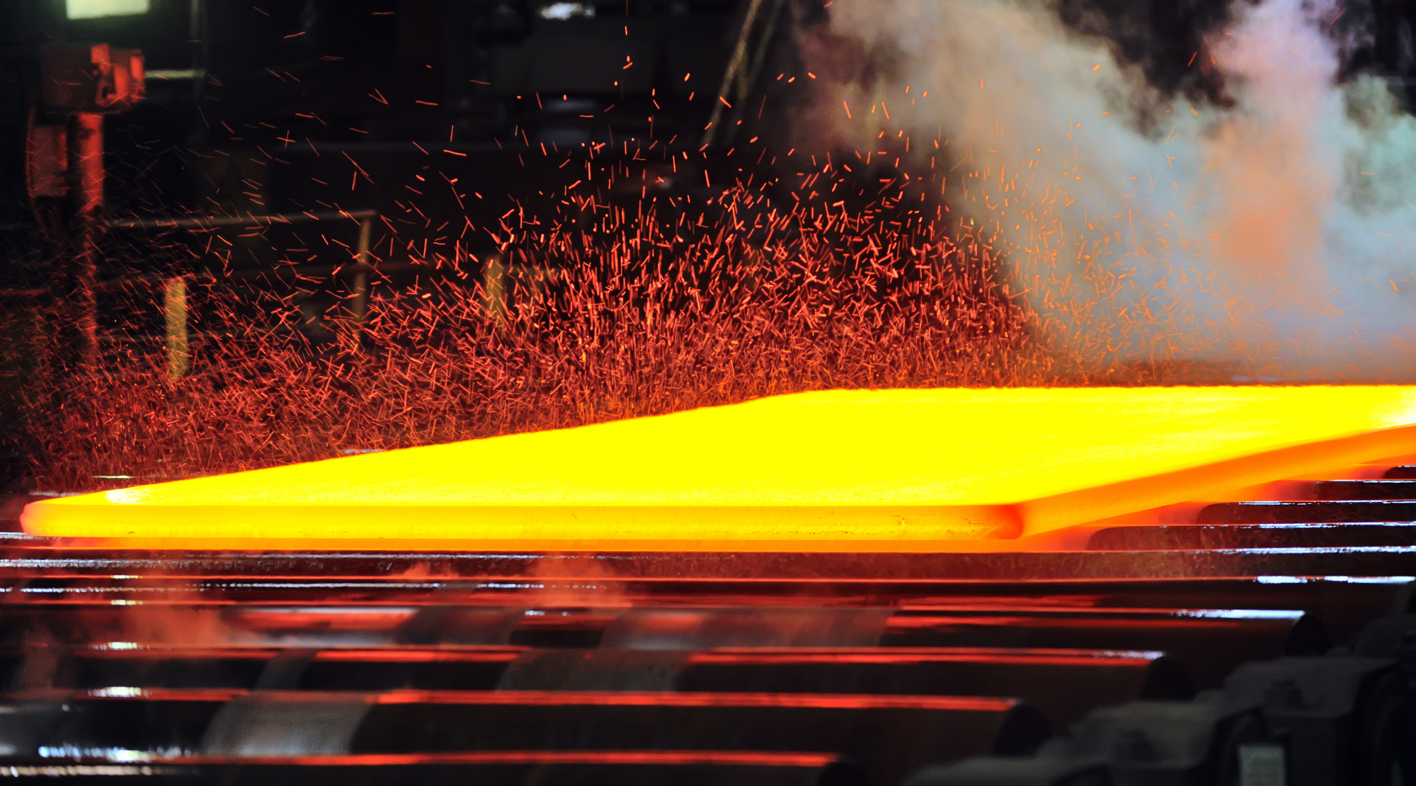
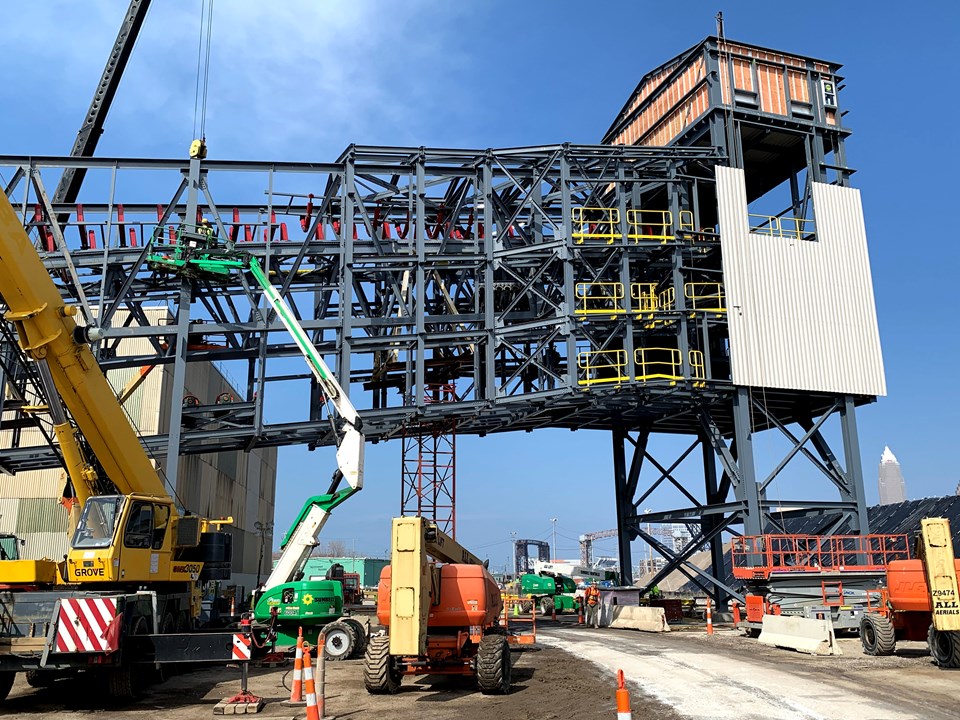
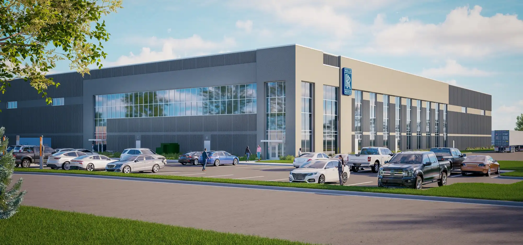
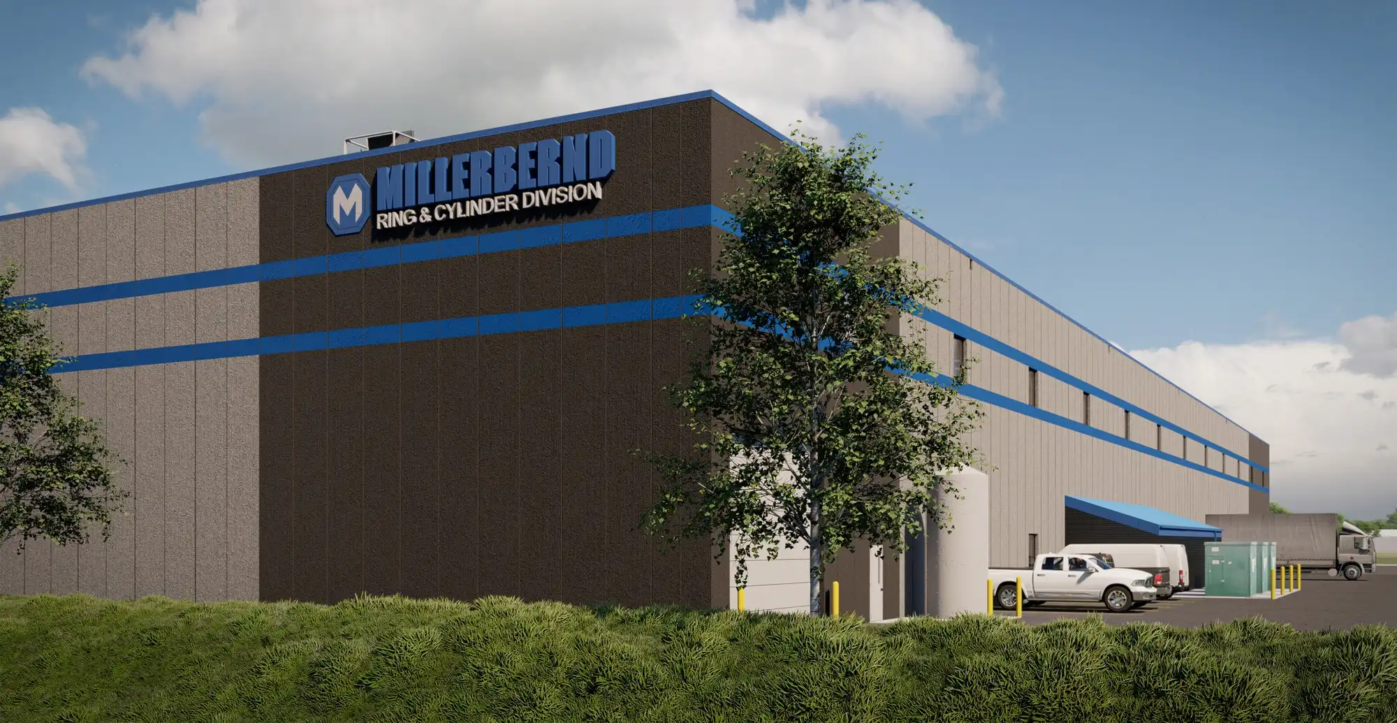
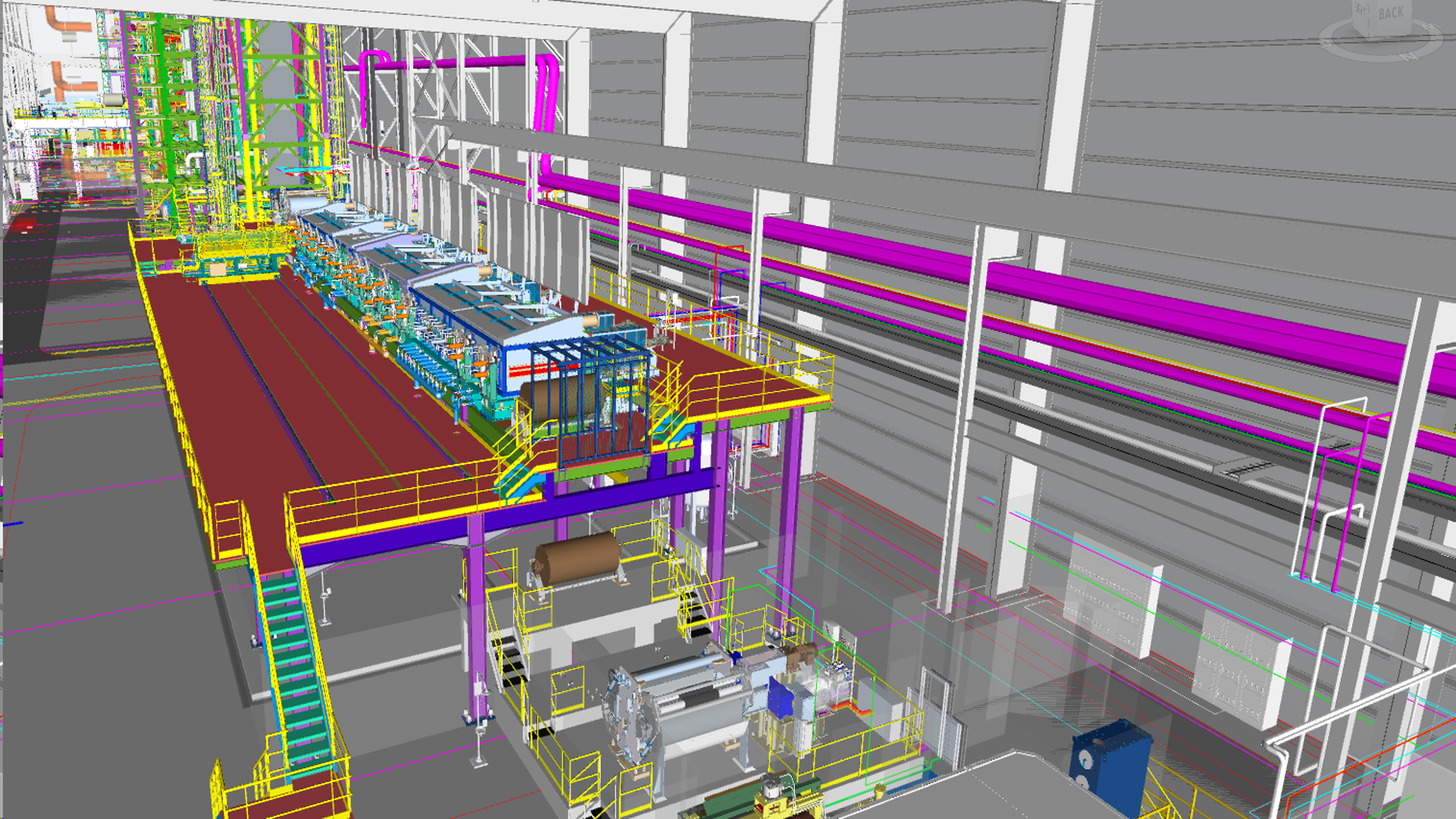
Industrial
ISG delivers quality, focused engineering, design, and construction services for industrial and manufacturing partners across the U.S. Our committed professionals have dedicated years to helping clients achieve their goals, providing greenfield site selection and location analysis for a new facility to complex renovations and expansions that address infrastructure, utility, process, and structural challenges across operations.
We have firsthand experience with specialty industrial processes, equipment, and systems, including automation, clean rooms, hazardous materials storage, overhead cranes, paint booths, and waste treatment systems. Our dedicated project managers will lead your projects with a keen understanding of infrastructure and process planning, construction phasing strategies, lean manufacturing best practices, and project delivery models to bring you unmatched expertise.
Expertise
- Air Flow Modeling
- Automotive
- Chemical Production
- Hazardous Occupancy
- Industrial Gas
- Laboratories
- Manufacturing
- Material Handling
- Metals Production
- Nutraceutical
- Overhead Cranes + Conveyance
- Paint + Coatings
- Rebar Mills
- Security + Automation
- Wastewater Treatment
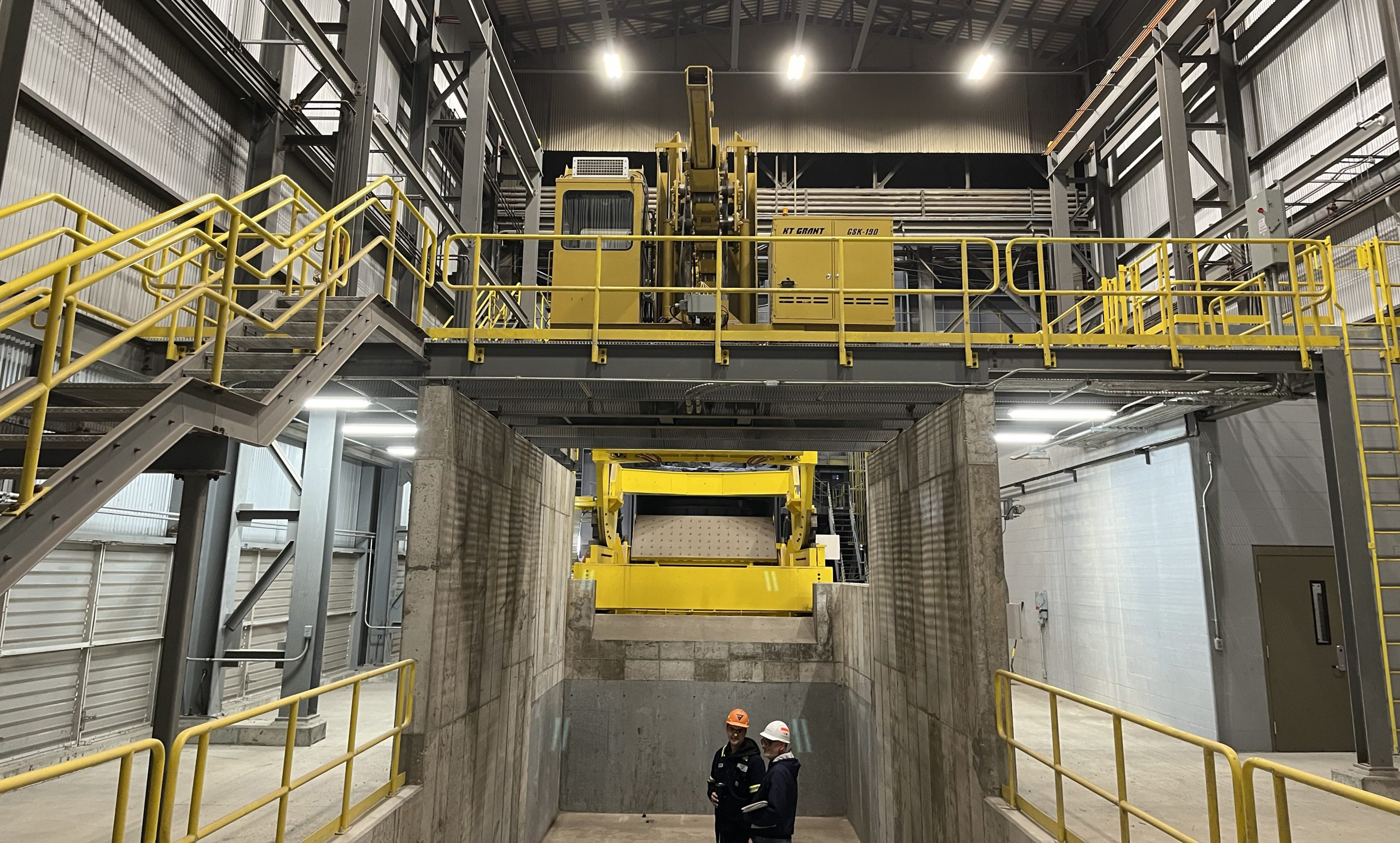
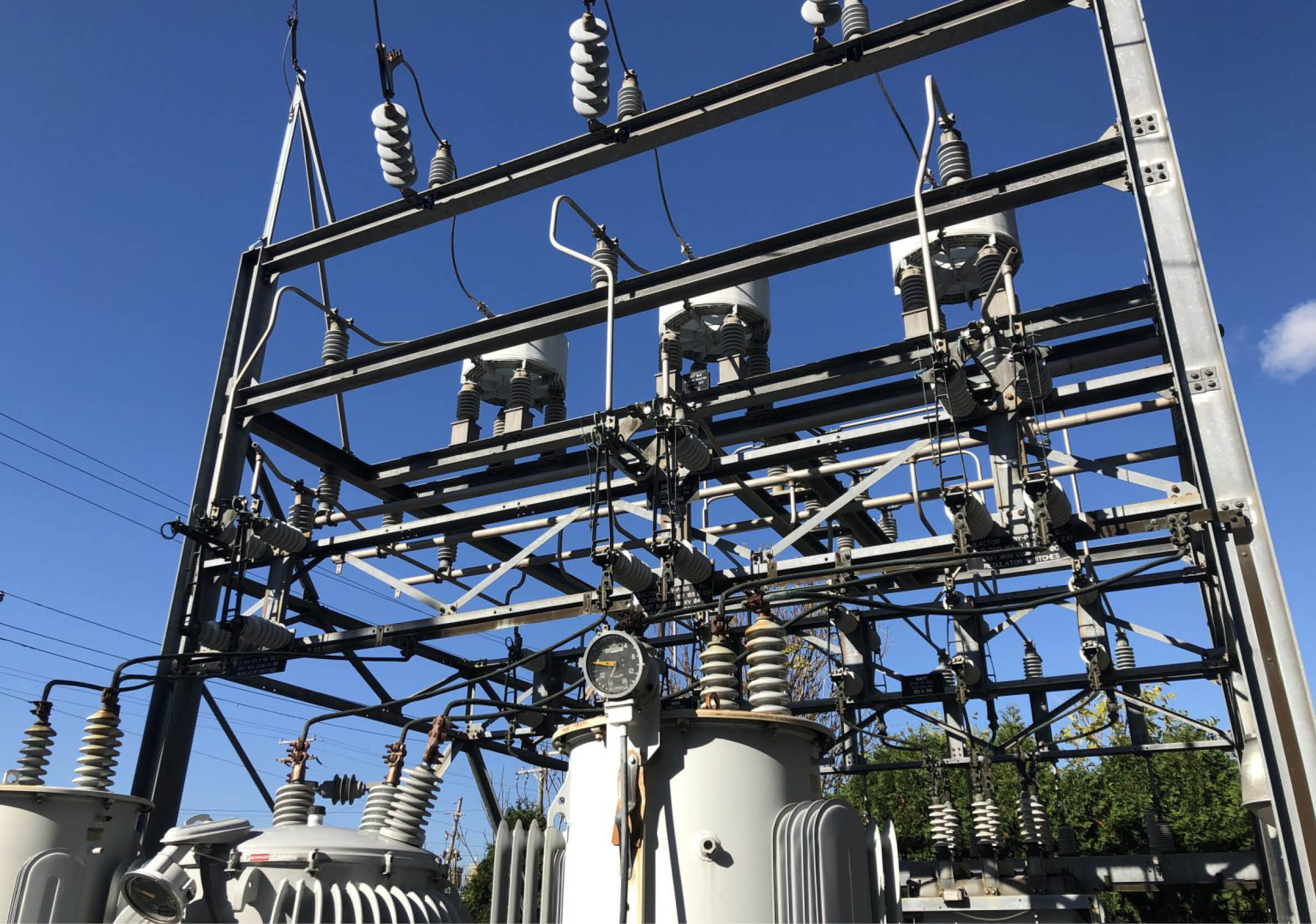
Industrial Portfolio
-1.webp)
-1.webp)
Paper + Conversion
Our commitment to your success is exemplified through a combination of distinctive features that set us apart in the paper and conversion industry. We have expertise in central plant electrical distribution and maintenance, including the capability to provide detailed arc flash evaluations and training to help employees understand the risks and adhere to safe work practices. Our water and wastewater treatment professionals can ensure your systems are operating at optimum levels, adhering to regulatory requirements, and meeting your sustainability goals.
We also prioritize the well-being of your workforce through innovative employee amenity and welfare spaces that meet your corporate welfare goals. Quality spaces and carefully planned amenities help with employee attraction and retention, safety, and comfort—ultimately leading to workers that are happier and more productive.
Expertise
- Code Analysis + Loss Prevention
- Converting Equipment
- Employee Welfare + Training Centers
- Energy + Air Flow Modeling
- Effluent Water Treatment
- Equipment Bases + Pipe Racks
- Equipment Platforms
- Hazardous Occupancy
- Loading Docks + Rail Siding
- Overhead Cranes + Monorails
- Quality + Test Laboratories
- Effluent Water Treatment Site Selection + Lean Manufacturing Layouts
- Shipping + Receiving Areas
- Warehousing + Racking
Paper + Conversion Portfolio
.webp)
.webp)
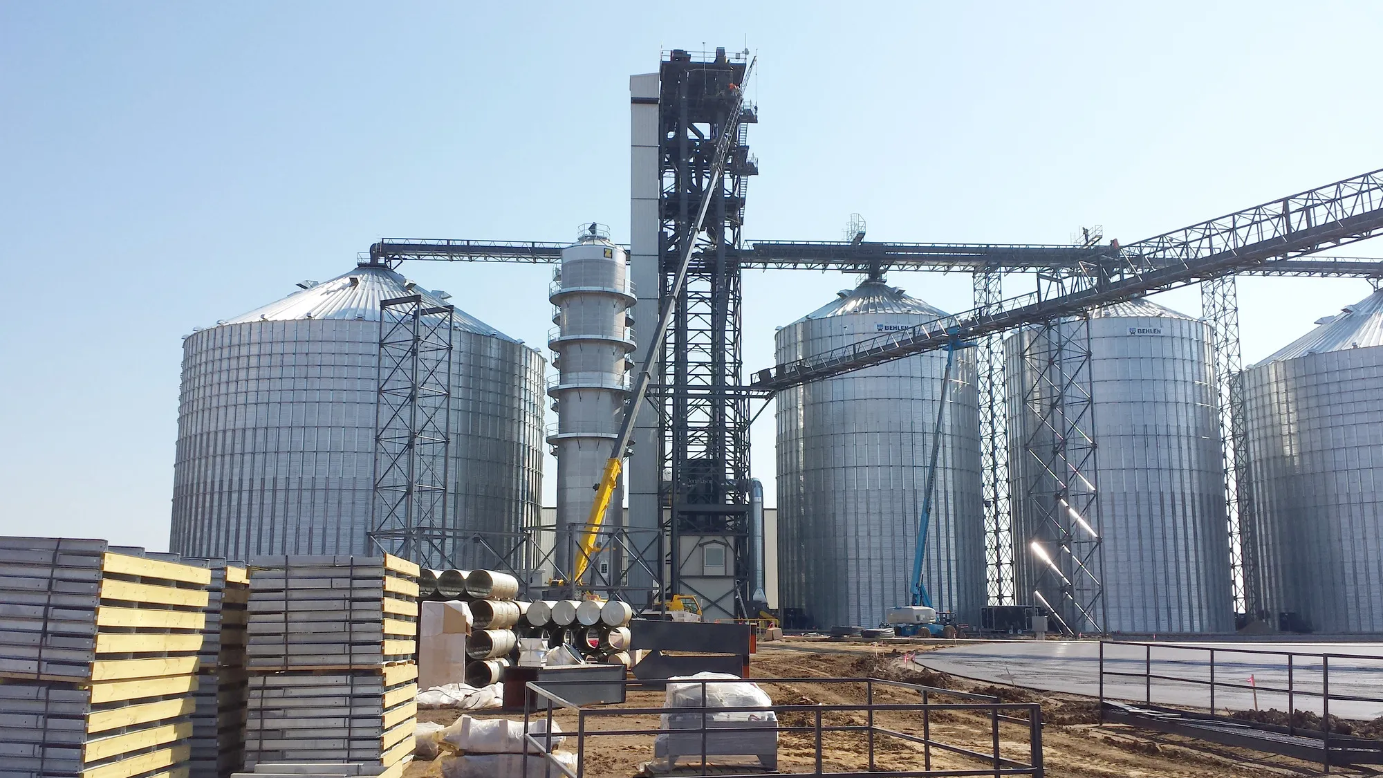
Agricultural Facilities
Modern agriculture is a complex business that requires engineering excellence. From cutting-edge grain storage and handling facilities to livestock barns and fertilizer storage structures, we have the comprehensive knowledge and experience to support improvements throughout your agricultural operations. Our in-house permitting and environmental professionals are prepared to support your CAFO, NPDES, and other environmental compliance needs.
Based in the Midwest, we value the agricultural heritage that surrounds us. Providing services throughout the U.S., we also have a national perspective that enables us to bring you cutting-edge practices and emerging trends. We can help you identify the best strategies for collecting, storing, and handling harvest yields throughout the year.
Expertise
- Air Modeling, Permitting, and Variance Requests
- Concentrated Animal Feeding Operations (CAFO) Permitting
- Cost Share Applications
- Concrete Testing
- Department of Natural Resources (DNR) + Watershed District Permitting
- Environmental Assessment Worksheets
- Land Surveying + Platting
- Liquid Manure Storage Area Engineered Plans
- Multi-State and Federal Wetland Permitting and Delineating
- On-Site Construction Inspections
- Permitting
- Site Design Plans
- Soil Investigations
- Waste Storage, Stormwater Control, and Construction Plans
Agricultural Facilities Portfolio
-1.webp)
-1.webp)
-1.webp)
-1.webp)
-1.webp)
-1.webp)
%2520(1).jpeg)
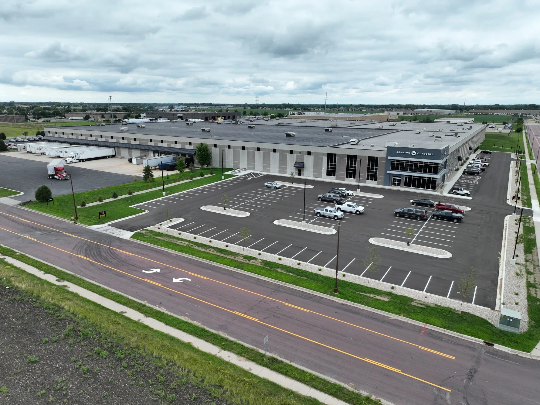
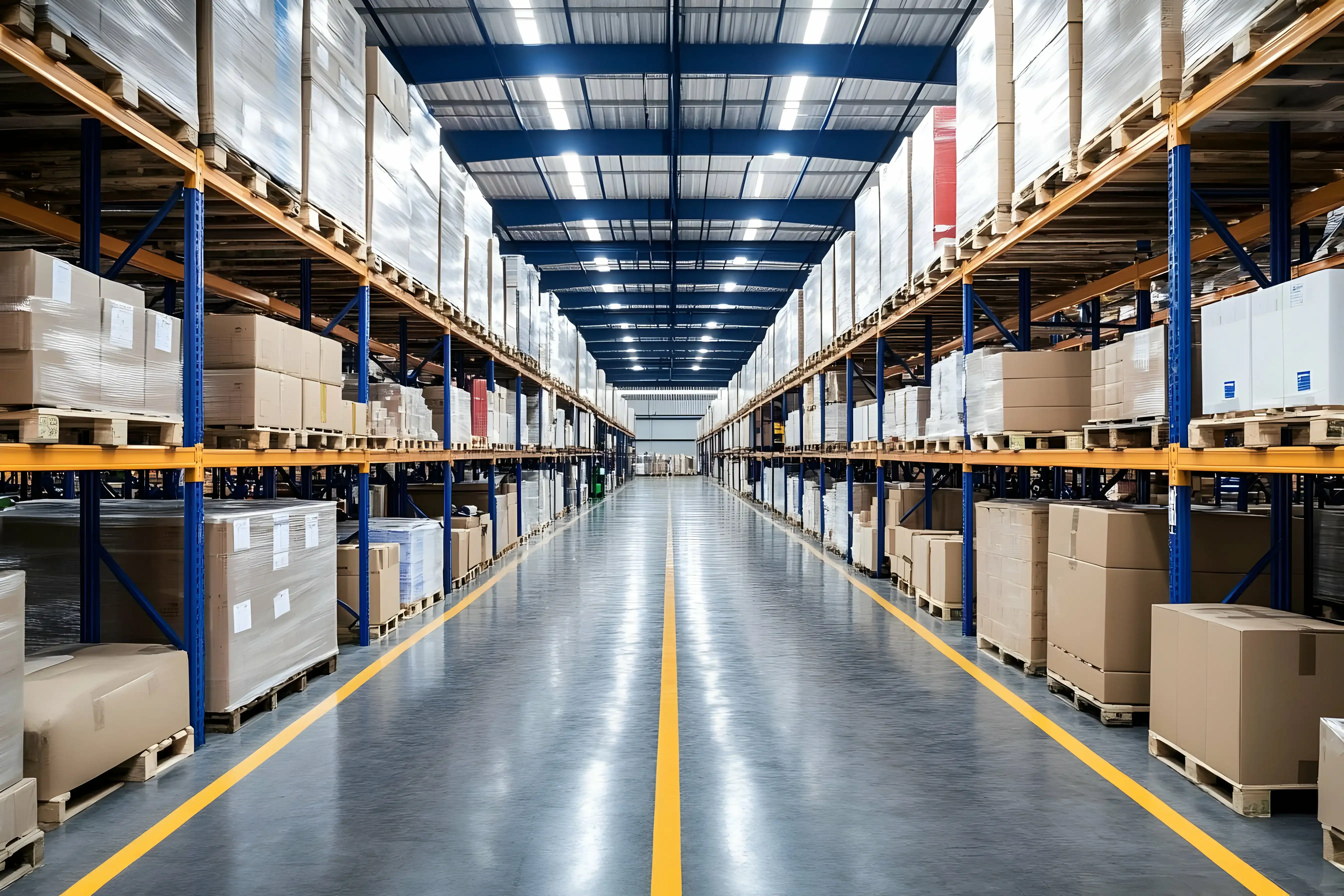
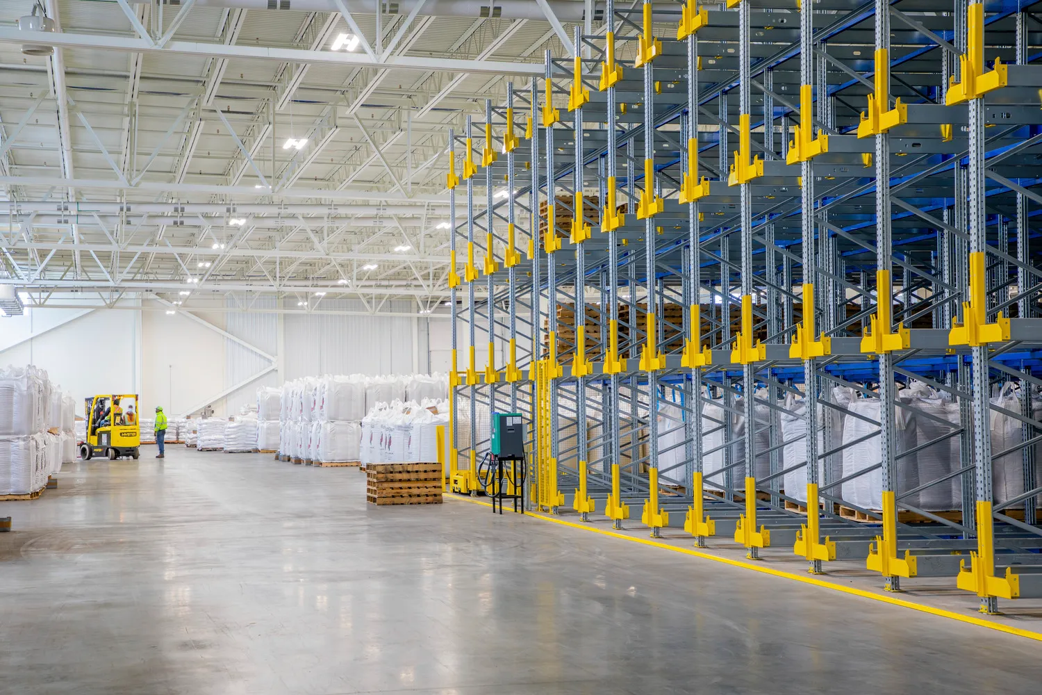
Warehousing, Distribution, and Cold Storage
We pride ourselves on bringing clients unmatched expertise for everything from automated storage and retrieval warehouse systems to specialized refrigeration and storage solutions. Whether dry goods, refrigerated products, or frozen foods, we understand that each product requires seamless integration and efficient transport between handling, packaging, storage, retrieval, and shipping—all while maintaining your stringent temperature and humidification requirements.
Our team's proficiency in refrigeration system design and material handling ensures that warehousing, distribution, and cold storage solutions are not only tailored to your unique needs but also optimized for maximum efficiency to meet your energy use targets. This is backed by our relationships and ability to work with equipment vendors to help you procure long lead time equipment in synch with your project schedule—minimizing delays and unforeseen project costs.
Expertise
- 3D Scanning + Drone
- Code Review
- Construction + Bid Administration
- Energy Modeling + Air Flow Modeling
- Environmental Review + Permitting
- Full-service Engineering, Architecture, and Surveying
- Greenfield Site Development
- Master Site Planning
- Public Incentive Negotiations
- Receiving Building Design
- Visualization
Warehousing, Distribution, and Cold Storage Portfolio
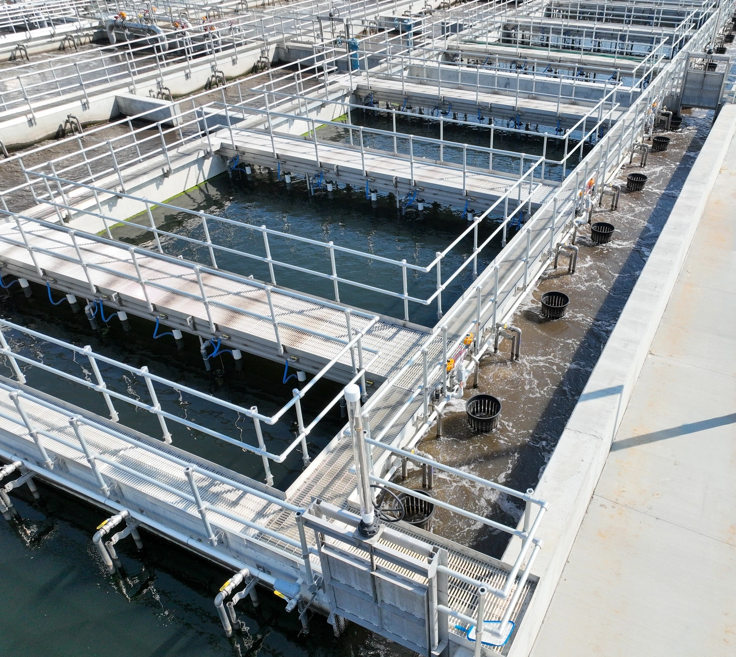
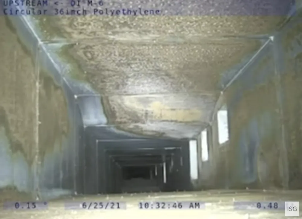
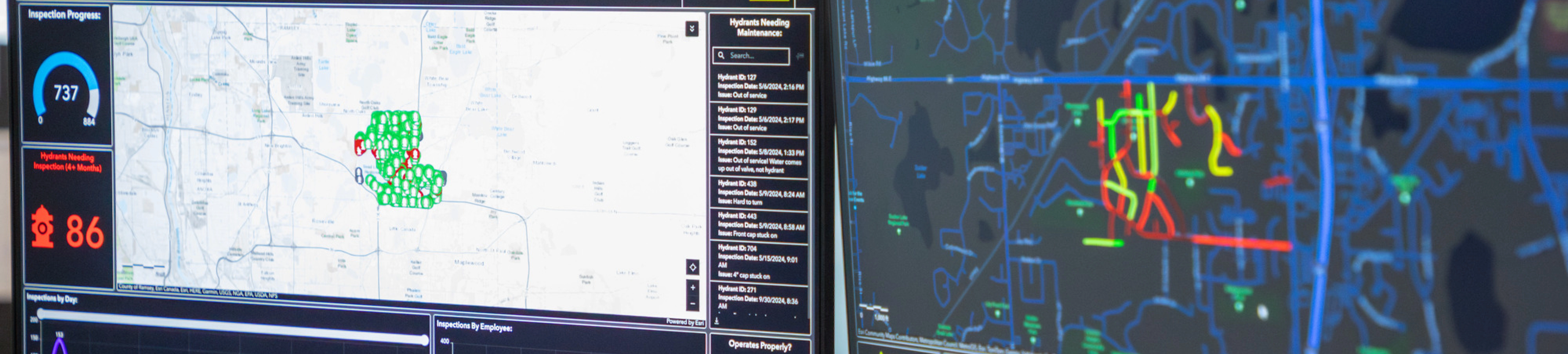
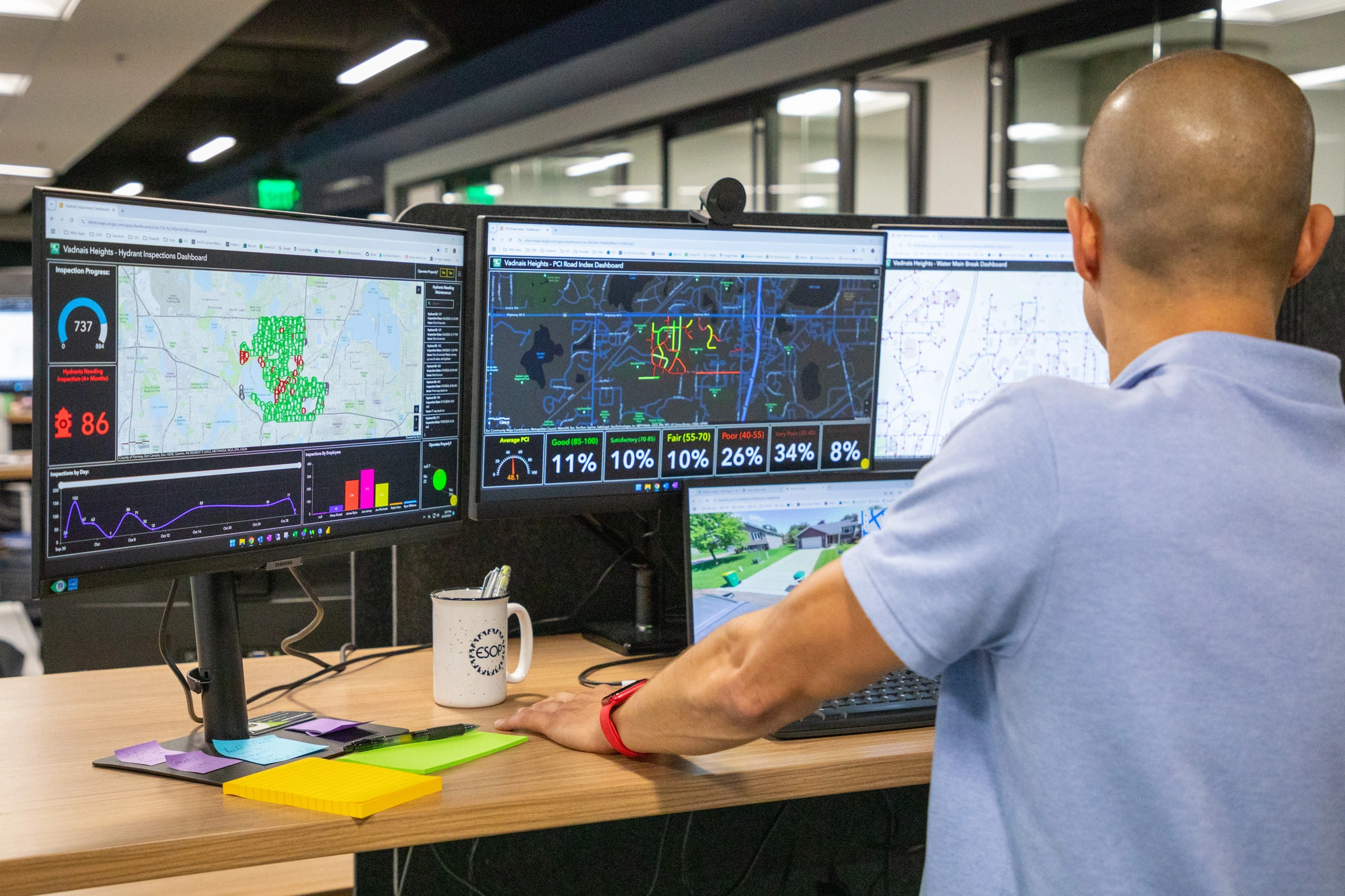
Industrial Wastewater
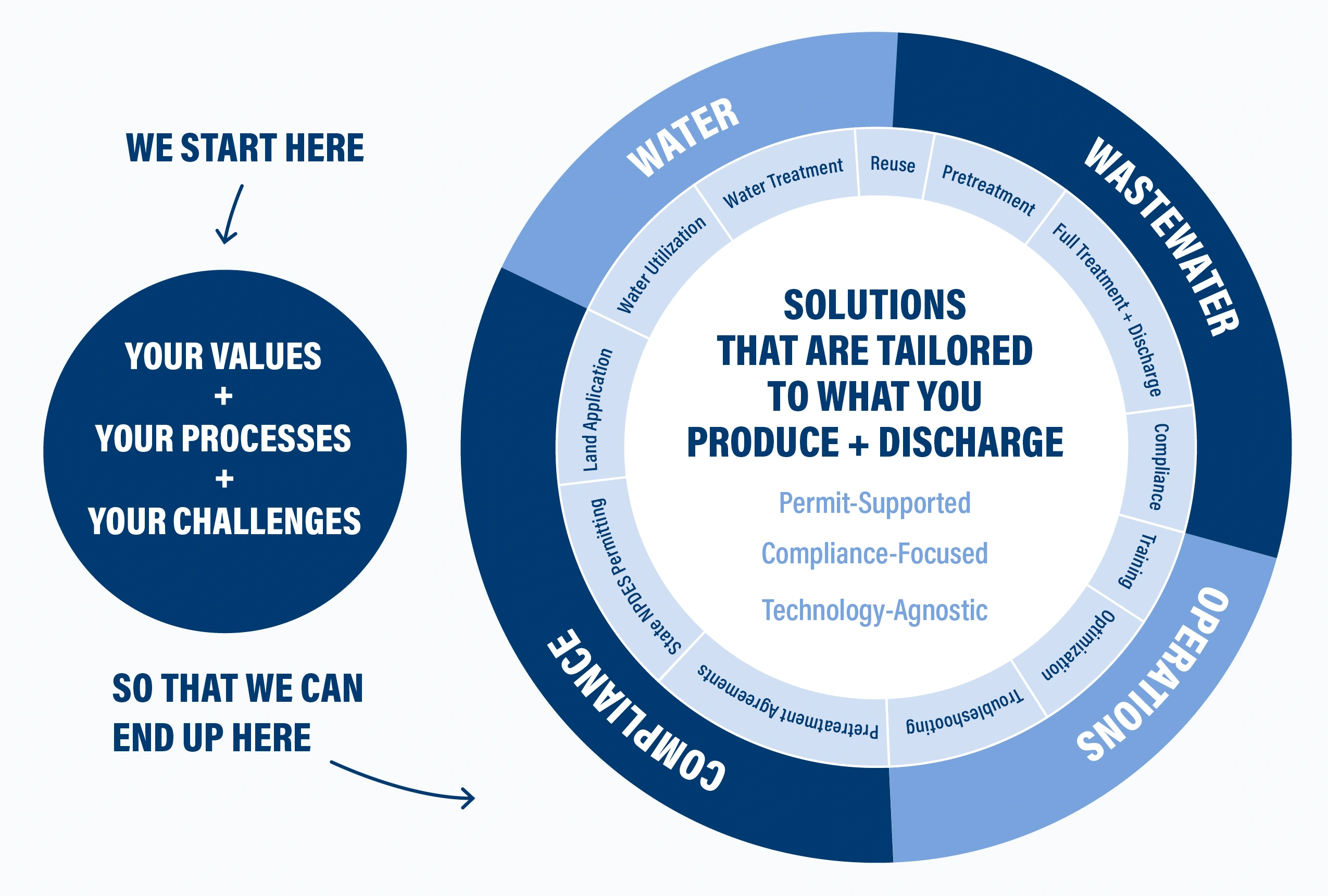
Complying with wastewater regulations requires a meticulous approach. Our team has the expertise to handle detailed feasibility reviews for existing facilities, including reviewing wastewater loadings, comparing current and future treatment requirements, and modeling to establish mass balances, design parameters, and potential effluent quality considerations.
Designing an efficient industrial wastewater system requires proactive planning. Our in-house operators and designers work together to ensure planning keeps energy and resource utilization at the forefront of decisions. Check our our approach below.
Expertise
- 3D Scanning + Drone
- Code Review
- Construction + Bid Administration
- Energy Modeling + Air Flow Modeling
- Environmental Review + Permitting
- Full-service Engineering, Architecture, and Surveying
- Greenfield Site Development
- Master Site Planning
- Public Incentive Negotiations
- Specific Nutrient Reduction
- Visualization
- Water Reduction Strategies
- Water Reuse Systems
Industrial Wastewater Portfolio
.webp)


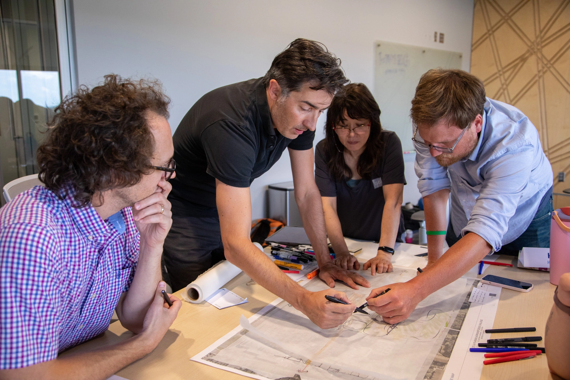
Welcome to ISG
ISG is excited to welcome R.E. Warner, a respected engineering and consulting firm dedicated to operational success. For 75 years, REW has built a legacy of excellence, serving clients from their offices in North Olmsted, Ohio, and Birmingham, Alabama. The team brings technical expertise across metals, power, industrial, and infrastructure projects, further strengthening our Energy and Food + Industrial Business Units. For our clients, this means expanded capabilities and greater capacity to take on complex projects.
R.E. Warner brings strong, long-standing client relationships that reinforce ISG’s relationship-driven culture. Together, we are an even stronger organization, grounded in shared values and positioned to deliver more responsive solutions for our clients.
The ISG
Difference
In the vastly different worlds of food production and industrial manufacturing, one thing rings true: time is money. That’s why we quickly address design challenges for projects of all scopes and sizes, to deliver solutions that minimize downtime, improve operations, and streamline efficiencies so that you can keep doing what you do best—provide quality food, beverages, metals, chemicals, materials and products to your customers.
We maintain clear communication with clients throughout each project step, allowing us to drive a fast-tracked schedule and efficient project delivery.
- Dynamic Team With Essential Expertise
- Operational Understanding of the Industry
- Single Point of Contact that Picks Up the Phone When You Call
Business Unit Experts
Brian Gjerde, PE


Tom Brown

Nick Ellenberger, PE, LEED AP

Matt Benovic, PE, MS LEED AP, PMP

Rachel Kloos

Mark Chambers, AIA, CDT, NCARB, LEED AP


Anthony Stefan

.jpg)

.jpg)


"Having a reputable firm that would represent our interests and command respect in the room with all involved parties was paramount. ISG was exactly that firm and did not disappoint.
Whenever a problem arrived, and in a project of our size they inevitably do, ISG always presented a solution to the problem immediately. From their design, project management, and incredible team members who were such a joy to work with, I simply wouldn't consider another project without them being involved."

Blueprints + Building Blocks
Dream, draw, and build the future with ISG!
The Latest From ISG


.webp)
ISG Recognized as a 2025–26 Emerging Professional Friendly Firm for the Fourth Consecutive Cycle
ISG has been honored as a 2025–26 Emerging Professional Friendly Firm by AIA chapters in North Dakota, South Dakota, Wisconsin, and Minnesota in recognition of its commitment to fair compensation, licensure support, mentorship, and growth for early-career architects.
Let's Chat.
