Celebrating GIS Day and its Impact on Communities
The Importance of GIS Day
_webfull.webp)
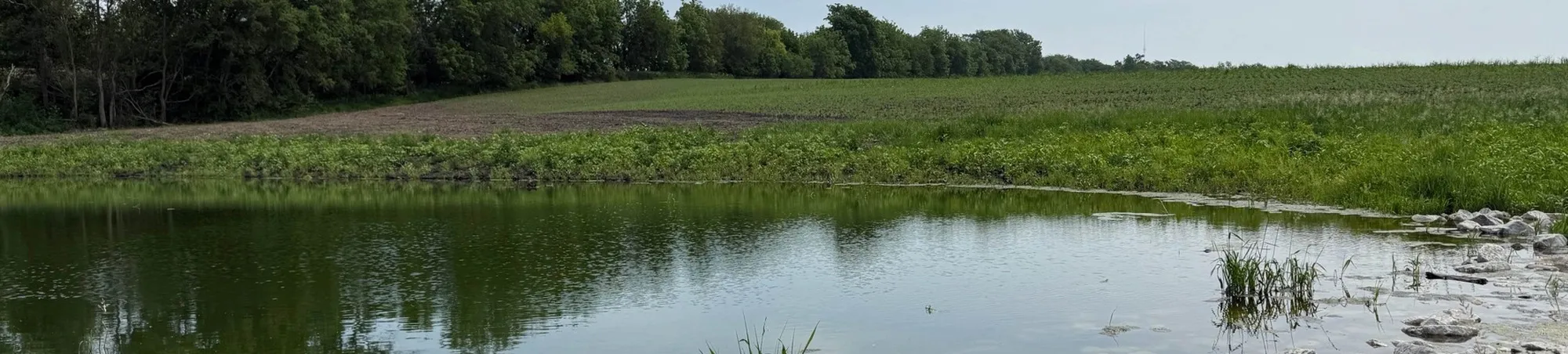
Growing the public understanding of Geographical Information Systems (GIS) has been an ongoing initiative around the world over the past 24 years. November 19 is GIS Day, to celebrate GIS and educate our communities about the impact it has on our world and in our everyday lives. Today, ISG celebrates and reflects how GIS technology has developed and expanded, and how it has helped our clients and the communities we serve.
How will YOU be celebrating GIS day?
What is GIS and how do we use it?
GIS helps us make sense of the world geographically through the collection, organization, and analyzation of spatial data. People use GIS platforms every day, including the use of Google Maps and Apple Maps. For example, when googling to check traffic on the way to work or to choose a restaurant for dinner, the maps and results all tie back to GIS.
ISG uses high-tech GIS applications to deliver answers that assist our clients in making informed decisions about community planning and project visions. The applications include:
- Industry-leading Esri software, ArcGIS: This software suite gives ISG the hands-on tools to help our clients collect, analyze, and showcase geospatial data.
- Esri's Business Analyst Software: ISG has access to thousands of demographic, spatial, economic, socioeconomic, and social data sets to help our clients better understand their communities.
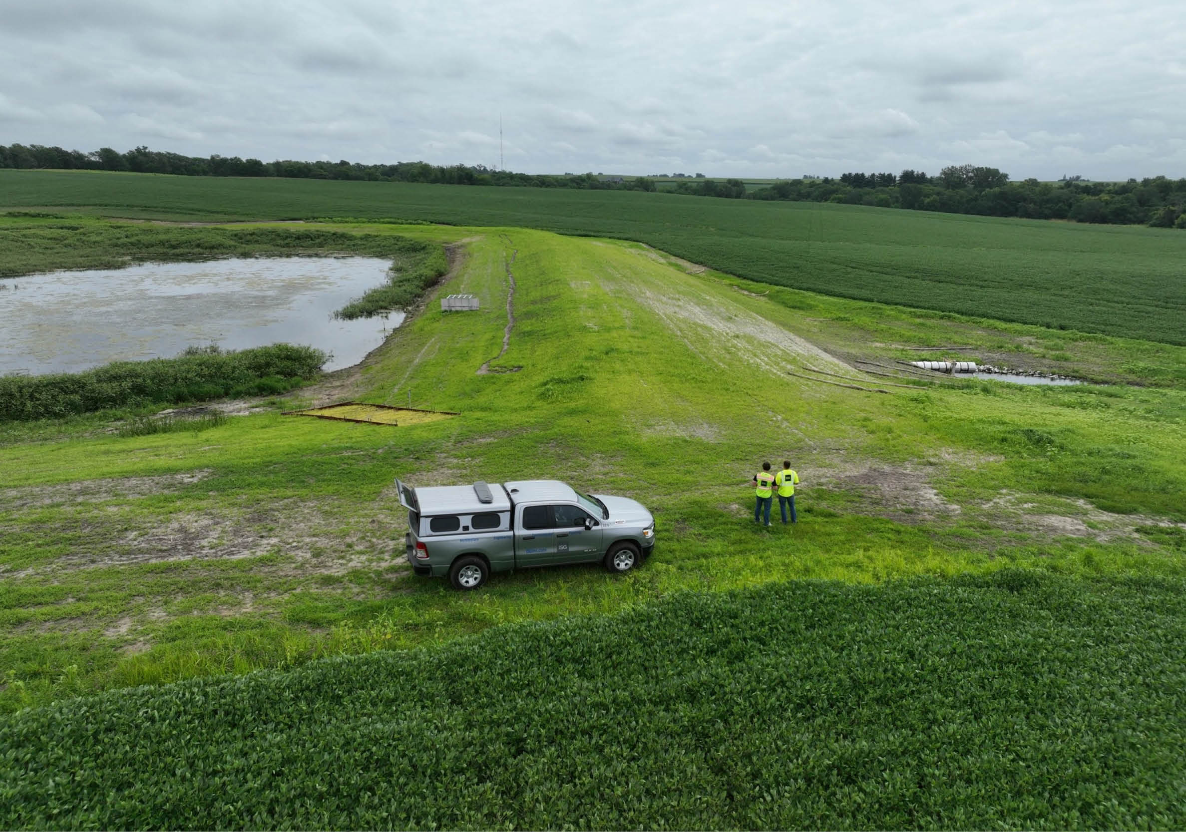
- Esri Survey 123, Field Maps, and Quick Capture Applications: By using field tools like these, ISG can collect thousands of real-time data points each day to help us understand real-world conditions.
- Esri StoryMaps, Dashboards, and Web Applications: By utilizing these applications, ISG has the ability to effectively display, communicate, and engage with the client and community.
Mapping Out Market Wins
By combining substantial datasets with advanced GIS tools, ISG turns information into insight. Our GIS Market Analysis translates complicated data into straightforward strategies that guide business growth. A few examples of guided growth with the support of our GIS team include:
Kubota Expansion Into North Carolina
We analyzed demographics, competition, and market potential to identify high-opportunity zones, highlight relocation candidates, and eliminate underperforming areas. The result was a focused, scalable growth plan that maximized return on investment.

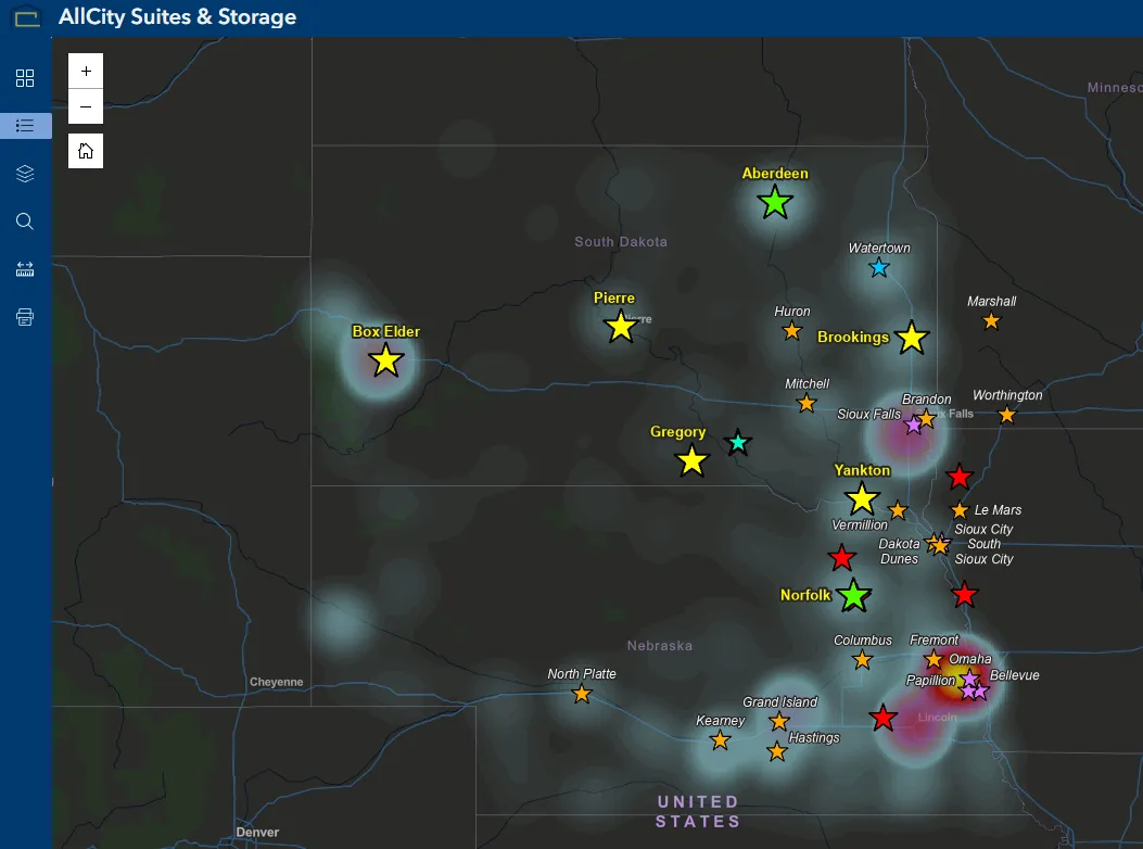
Site Selection Analysis for AllCity Suites & Storage
Starting with a detailed customer profile built from demographic variables and Esri Tapestry Segmentation, we identified the traits shared by their strongest locations. We then mapped additional markets with similar demographic and psychographic characteristics, validating them using commercial activity, mobility patterns, road connectivity, competitor influence, and parcel-level feasibility. This multi-layered evaluation revealed high-ranking opportunity zones to allow for expansion into three new markets and over 100 planned new units, reducing risk and accelerating AllCity’s growth strategy.
A Day in the Life of a GIS Professional
Each day is dynamic, collaborative, and closely tied to the needs of the communities and clients we serve. The work blends field operations, spatial analysis, and the development of innovative tools.
- One team member may begin the day on site at a community park or setting up Field Maps on tablets so staff can collect real-time asset data that immediately updates dashboards used by city leaders.
- Back at the office, another GIS specialist may analyze traffic volumes, environmental conditions, or parcel data to support engineers, planners, or architects on an upcoming infrastructure or development project.
Each expert may be focused on a different program, but the overall goal is the same—translate location-based data into meaningful insight that supports safer, smarter, and more connected communities.
Our GIS professionals don’t just map the world; they help our clients navigate it.
Interested in making informed project decisions? Contact our GIS team for guidance.

Related Articles


Five Takeaways from River Connections: A Science + Strategy Workshop for the Mississippi River Watershed
Science and Strategy Workshop for the Mississippi River Watershed, hosted by Tulane University in partnership with America’s Watershed Initiative and The Nature Conservancy, brought together practitioners from across the 31-state Mississippi River Basin to explore how research, policy and implementation are aligning to address shared challenges.