portfolio
Our Work
The ISG Portfolio
No matter the challenge, we are here for it. Our projects are a testament to the partnerships we create with our clients, partners, and communities.
featured Work
-1.webp)

-1.webp)
-1.webp)
-1.webp)
-2.webp)
-1.webp)
-1.webp)
-1.webp)
Thank you! Your submission has been received!
Oops! Something went wrong while submitting the form.
.webp)
.webp)
-1.webp)
.webp)
-2.webp)
-1.webp)
-1.webp)
Affordable
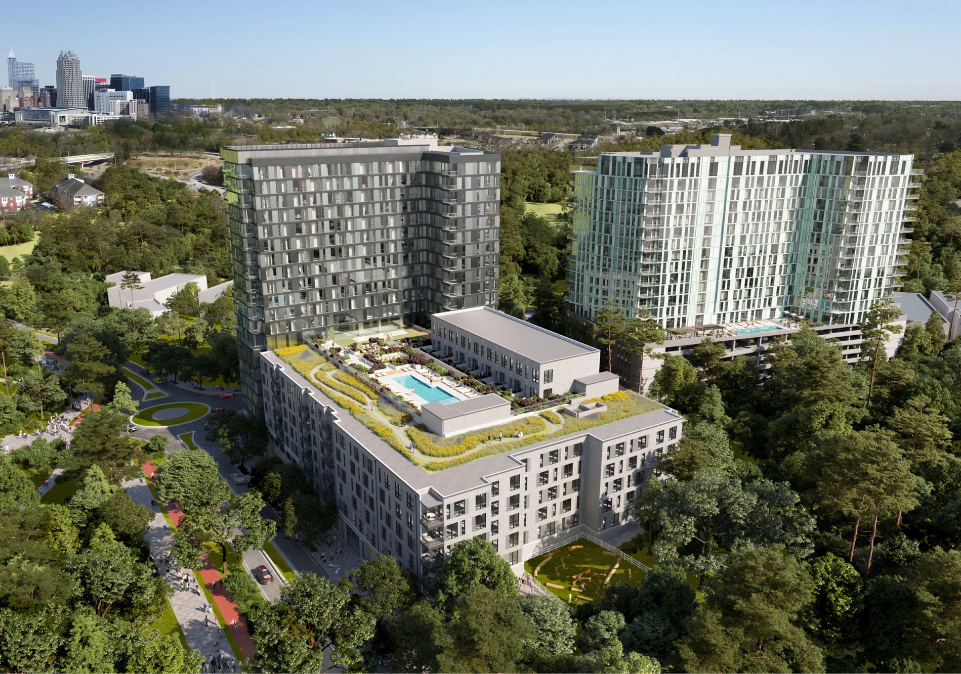
Residential + Mixed-Use
Power Delivery
Energy
Mining
Energy
Municipal Engineering
Public Works
High Density
Residential + Mixed-Use
Joint Use
Telecommunications + Utilities
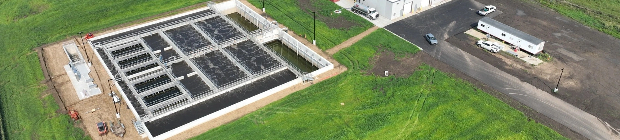
Industrial Wastewater
Food + Industrial
Consumer Services + Hospitality
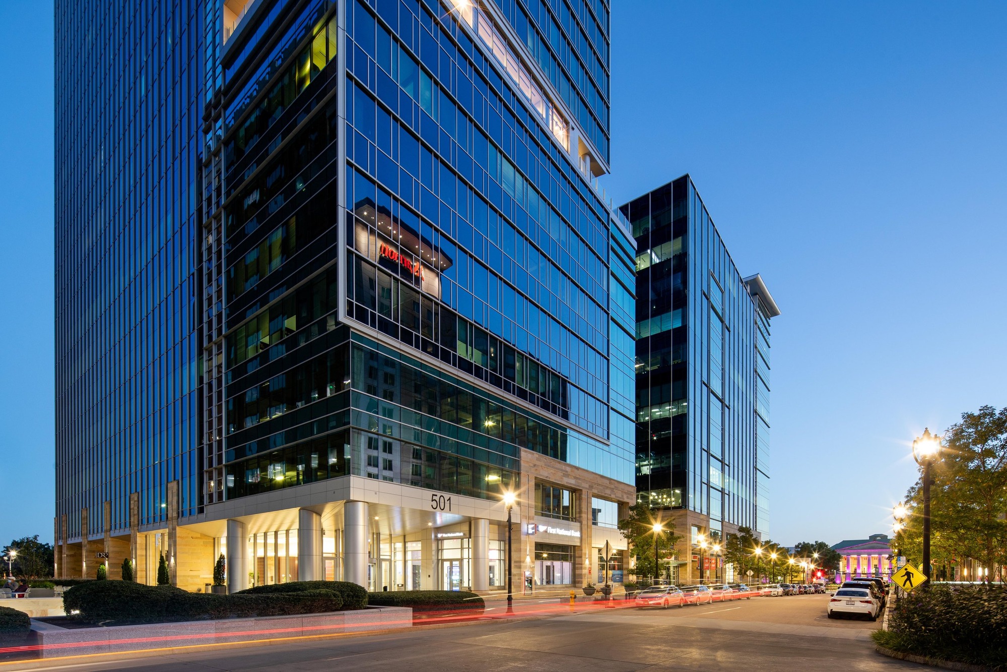
Commercial
Rural Surface Water
Water
Urban Stormwater
Water
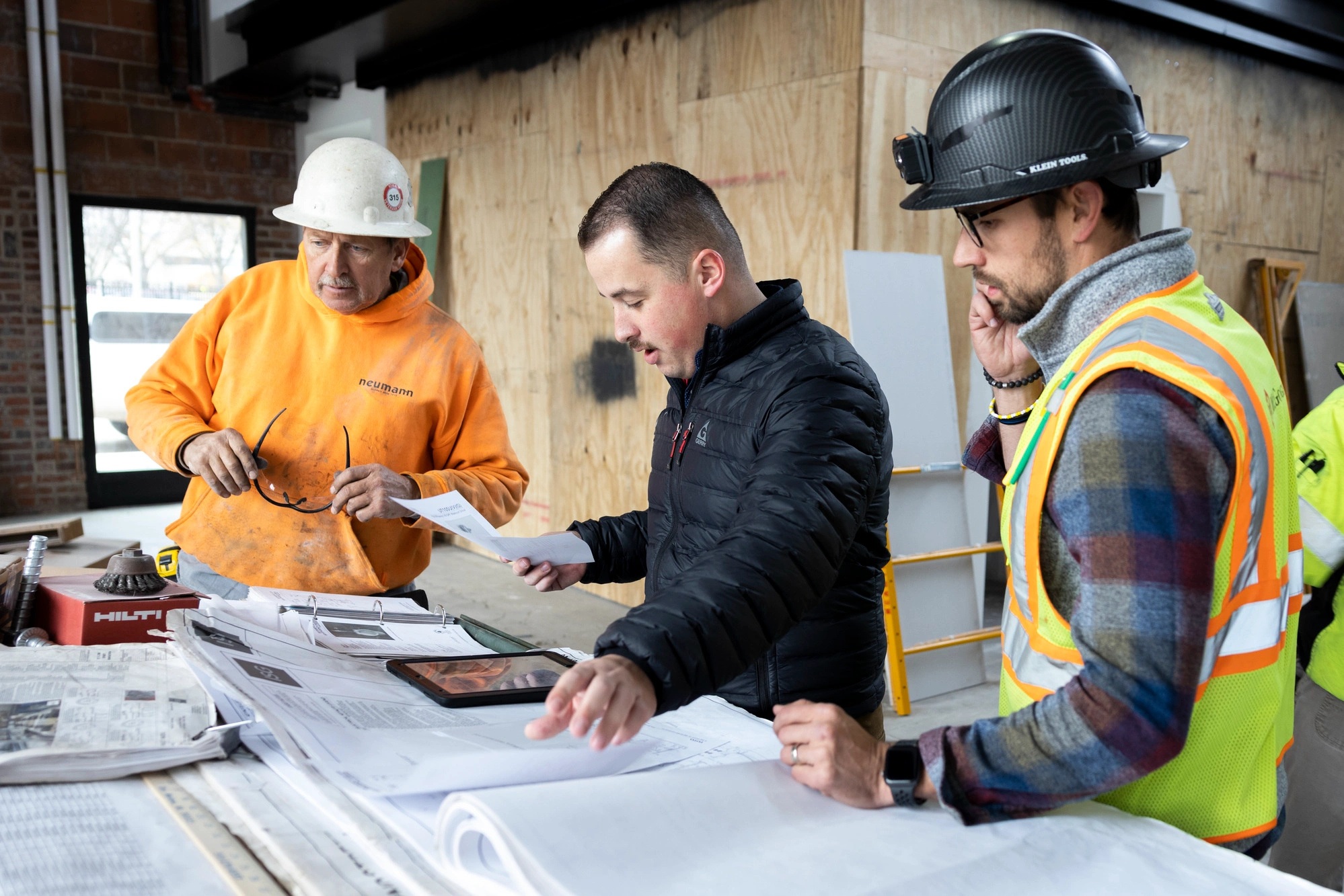
Construction Services
Transportation
Traffic Engineering
Transportation
Highways + Bridges
Transportation
Aviation, Rail, and Waterways
Transportation
Mobility
Transportation
Telecommunications
Telecommunications + Utilities
Steam + Chilled Water
Energy
Renewables
Energy
Oil + Gas
Energy
Utilities Distribution
Telecommunications + Utilities
Sports + Entertainment
Sports + Recreation
Parks + Trails
Sports + Recreation
Wastewater
Public Works
Drinking Water
Public Works
Municipal Planning
Public Works
Development + Operations
Energy
Low Density
Residential + Mixed-Use
Student Housing
Residential + Mixed-Use
Senior Living
Residential + Mixed-Use
Land Development
Residential + Mixed-Use
Clinics + Office Practices
Healthcare
Hospitals + Medical Centers
Healthcare
Cultural + Community Gathering
Government + Cultural
Public Service Facilities
Government + Cultural
Warehousing, Distributions, and Cold Storage
Food + Industrial
Agriculture Facilities
Food + Industrial
Paper + Conversion
Food + Industrial
Manufacturing
Food + Industrial
Food + Beverage
Food + Industrial
Higher Education
Education
PreK-12
Education
Workplace
Commercial
Brand Retail
Commercial
.jpg)
The Latest From ISG
View All

_webfull.webp)
_webfull.webp)
The Future Of Southern Minnesota Lakes Conference Highlights Lake Solutions + New Lake Management Workshop
ISG’s 2026 Future of Southern Minnesota Lakes Conference brought together lake advocates, researchers, and local leaders to share solutions and launch a hands-on Lake Management Workshop for improving regional lake water quality.
Industry Insights
Press Releases

.webp)
.webp)
Let's Chat.
