Where History Meets Technology: Scanning Saint Paul’s Historic Kellogg Tunnel
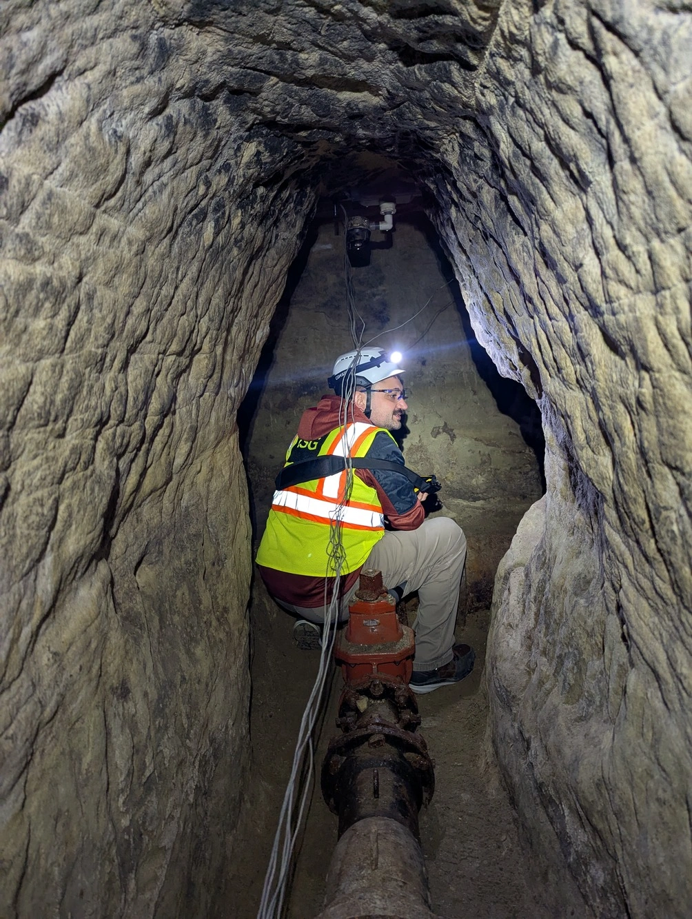
Beneath downtown Saint Paul lies the Kellogg Tunnel, a hand-dug passage carved through soft St. Peter Sandstone in the late 1800s. Still carrying an active cast-iron watermain, the tunnel remains an essential part of the City’s water distribution network. When Xcel Energy began planning new utility upgrades in the area, Saint Paul Regional Water Services needed a way to better understand and protect this fragile, historic asset. That’s where ISG came in.
ISG’s geospatial team deployed high-resolution terrestrial LiDAR scanning to digitally capture the tunnel’s exact shape and condition. The process generated millions of data points that each represent a piece of a complex underground puzzle. The resulting 3D model revealed every contour, from the rough pickaxe marks left by 19th-century laborers to the alignment of century-old piping that still supports the City today.
“Working in the tunnel was like stepping back in time,” said ISG Realty Capture Specialist, Cody Meyer. “You could see the history, but more importantly, we were able to use today’s technology to protect that history and make sure the City’s infrastructure remains safe and reliable.”
Where History Meets Innovation
The Kellogg Tunnel is more than just a relic of the past. It is a vital component of Saint Paul’s water system. Built in the 1880s, it has withstood more than a century of city growth, floods, and redevelopment. Its proximity to modern utilities made accurate mapping critical to avoid costly or dangerous conflicts.
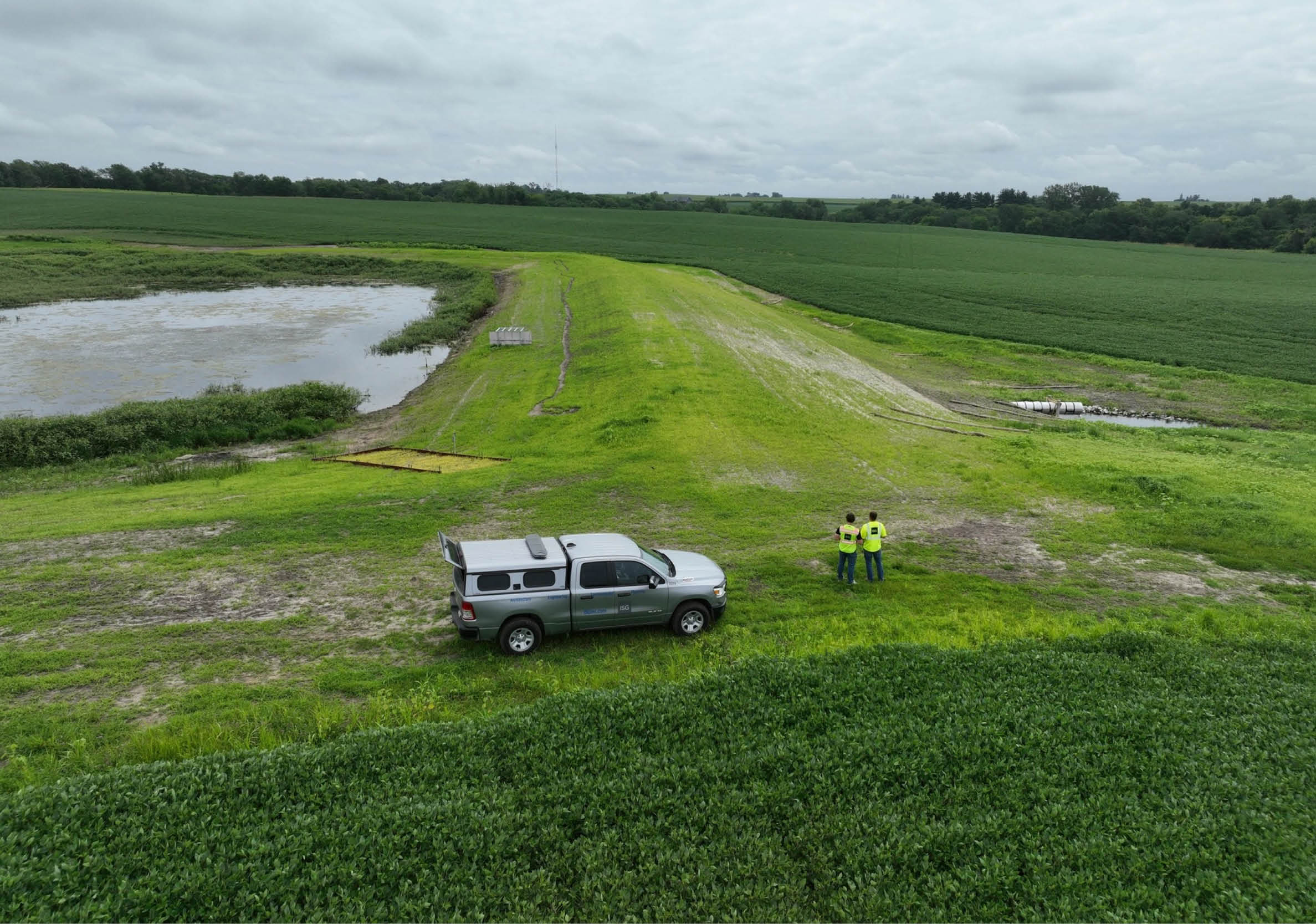
The 3D scan provided Saint Paul Regional Water Services and its project partners with a complete picture of the tunnel’s current conditions. This is something traditional records or plans couldn’t offer. The precise information helped teams identify areas of interest, avoid potential damage during construction, and plan with confidence. It also documented a piece of the City’s engineering heritage, creating a permanent digital record for future maintenance and preservation.
After the new utility line is installed, ISG’s team will return to perform another scan, ensuring that no shifts or disturbances have occurred within the tunnel structure. This follow-up effort adds another layer of confidence for the client, confirming that both new and historic infrastructure remain protected.
Connecting Points + People Underground
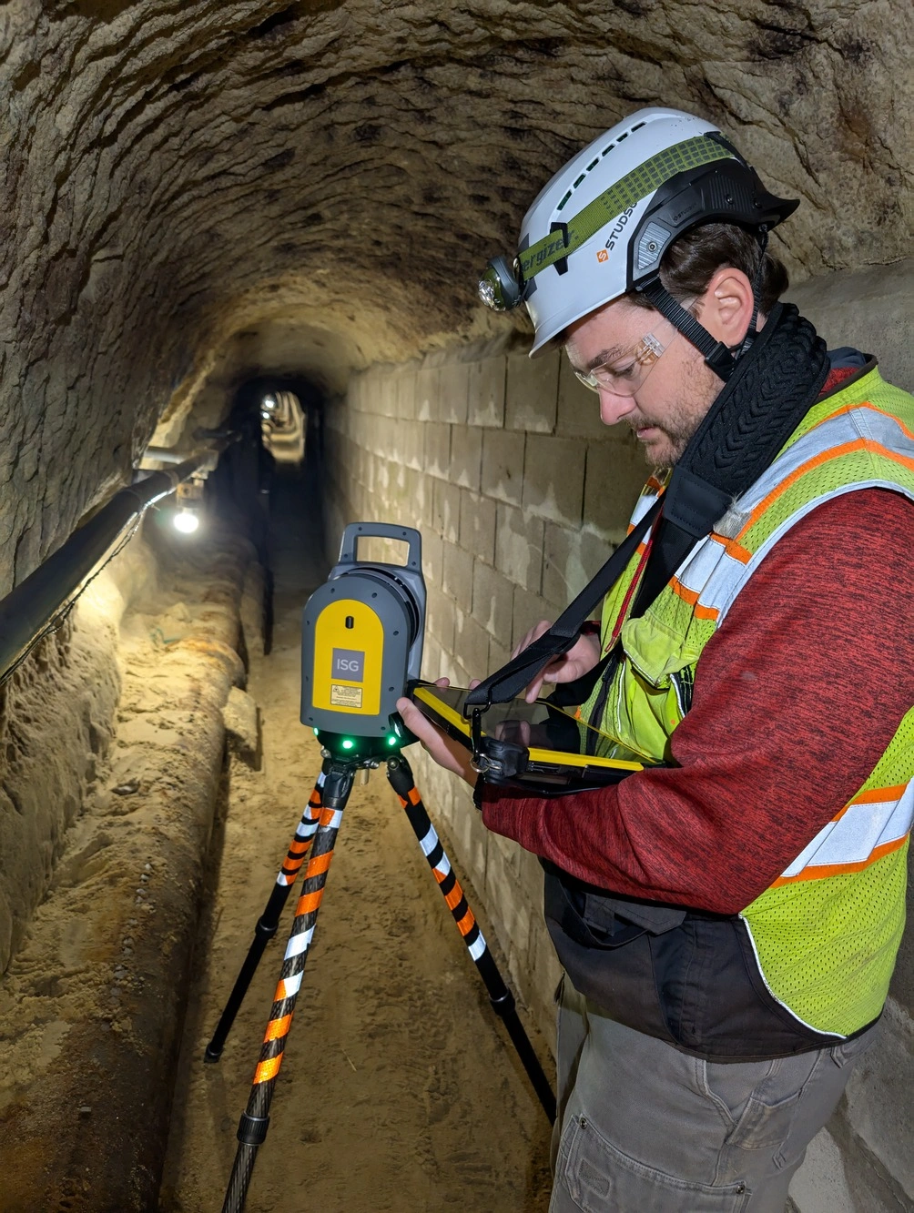
ISG used terrestrial LiDAR scanning to create a precise 3D model of the tunnel, capturing every detail of the space as it exists today. Working around live water pipes in tight underground areas made this level of accuracy critical.
To map the full 500-foot tunnel correctly, the team set up reference points between manholes, linking underground measurements to surface features. Without these anchors, the model could have been off by as much as 32 feet. Connecting the points ensured the data was fully reliable for engineers, planners, and permitting agencies.
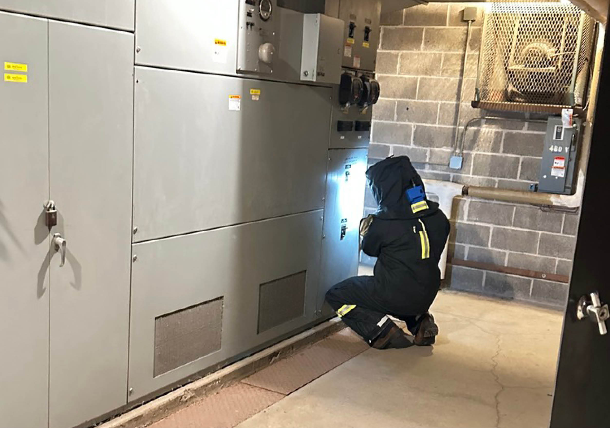
Due to the limited acoustics within the sandstone tunnel, the team established a structured interval-based communication protocol to maintain continuous accountability and verify personnel safety throughout the tunnel during scanning operations.
The resulting 3D model became a powerful tool for decision-making, helping teams coordinate work, plan construction safely, avoid mistakes, reduce costly rework, and protect the tunnel and watermain. It provided a clear, accurate map of a space that would otherwise be difficult to understand.
Turning Data Into Decisions
By transforming a historic, hard-to-access environment into an accurate, navigable digital model, ISG helped the City of Saint Paul make informed decisions while safeguarding critical assets beneath the City.
What sets ISG apart is the integration of geospatial expertise and design intelligence. The team does more than capture data. They deliver actionable insights that directly support engineering and construction decisions. This context-driven process helps identify conflicts early, reduce risk, and improve coordination across disciplines, ensuring projects run more smoothly and safely.
The Kellogg Tunnel scanning project highlights the power of technology to solve complex challenges in unexpected ways. Whether preserving history, supporting permitting, or guiding construction planning, ISG’s geospatial experts bring clarity where it is needed most, both above and below ground.
Ready to see how 3D scanning can bring confidence to your next project? Connect with ISG’s team to explore how advanced scanning methods can protect critical infrastructure, reduce risk, and plan smarter for the future.
Blog Author

Project Coordinator
Lucas.Fontana@ISGInc.com
952.426.0699

Related Articles


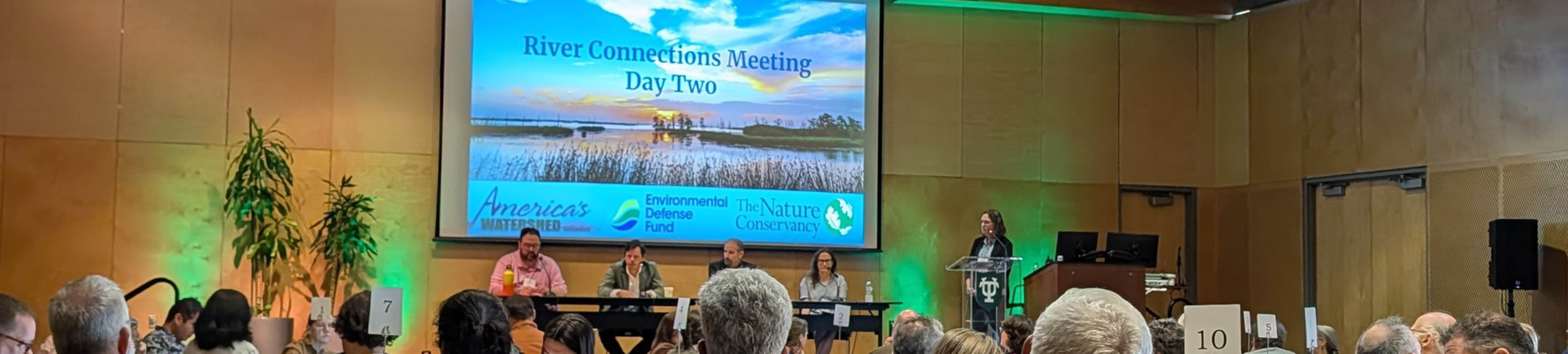
Five Takeaways from River Connections: A Science + Strategy Workshop for the Mississippi River Watershed
Science and Strategy Workshop for the Mississippi River Watershed, hosted by Tulane University in partnership with America’s Watershed Initiative and The Nature Conservancy, brought together practitioners from across the 31-state Mississippi River Basin to explore how research, policy and implementation are aligning to address shared challenges.