Healthcare
Healthcare Expertise
A healthy community begins with healthy people. Our healthcare architecture and healthcare engineers understand the dynamic nature of creating spaces that put people first, spaces designed to enhance care and respond to changing needs. The healthcare landscape is continually evolving, and you need a partner that can adapt to the intricacies and challenges that change often brings.
By focusing on user experiences our architects and engineers provide state-of-the-art healthcare environments—environments that are equipped with the latest technologies, and are research informed, to provide high-quality, advanced healthcare services.

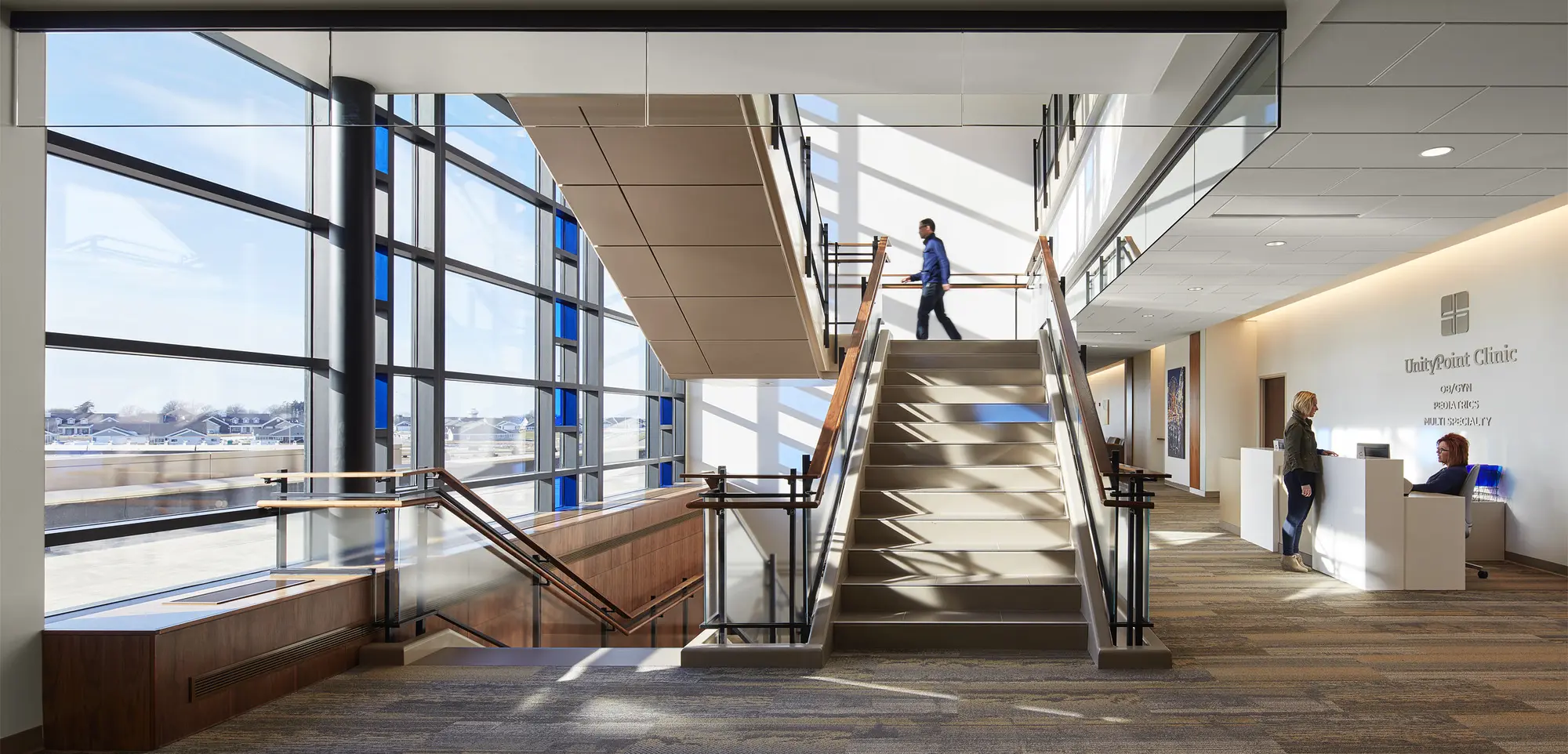
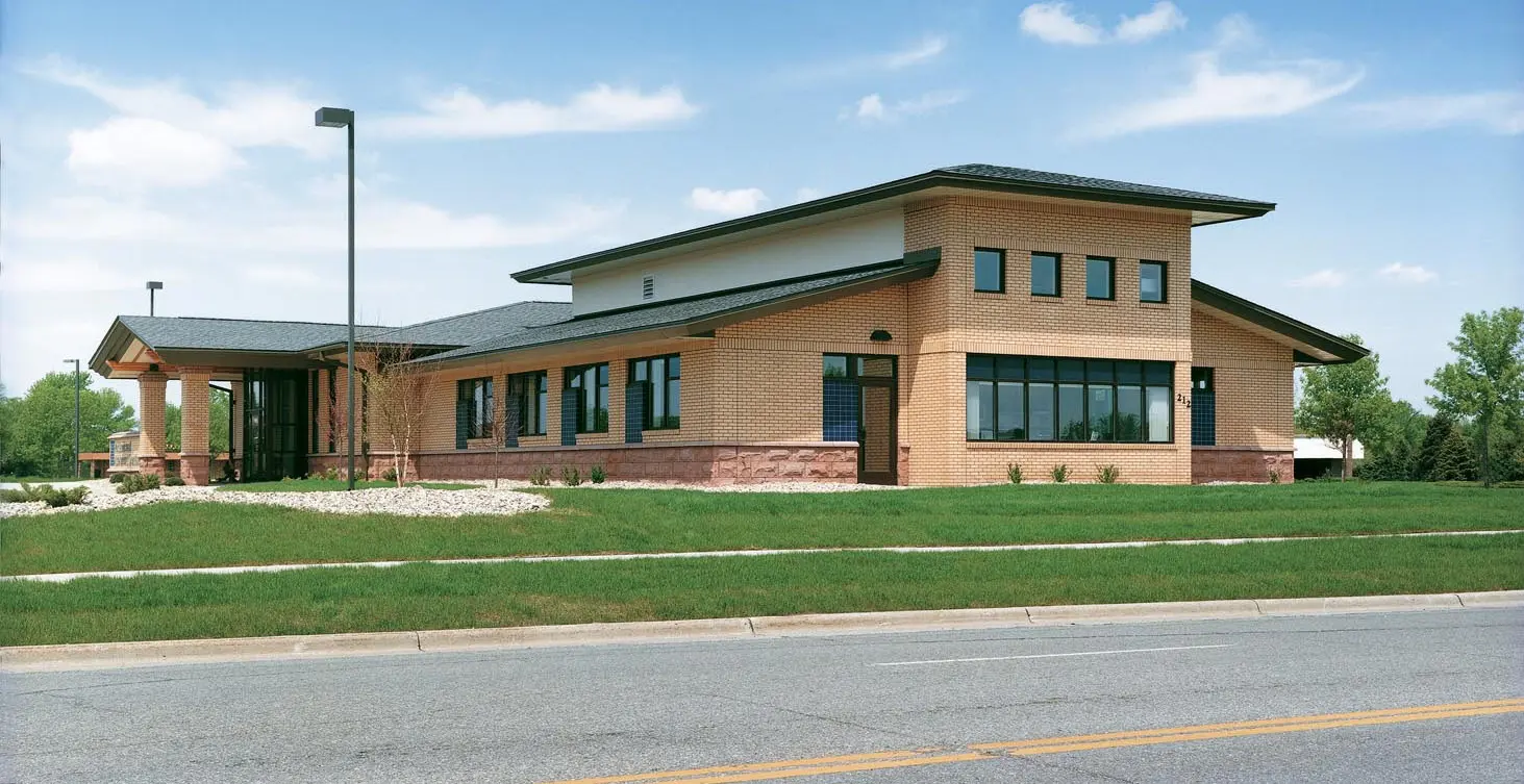
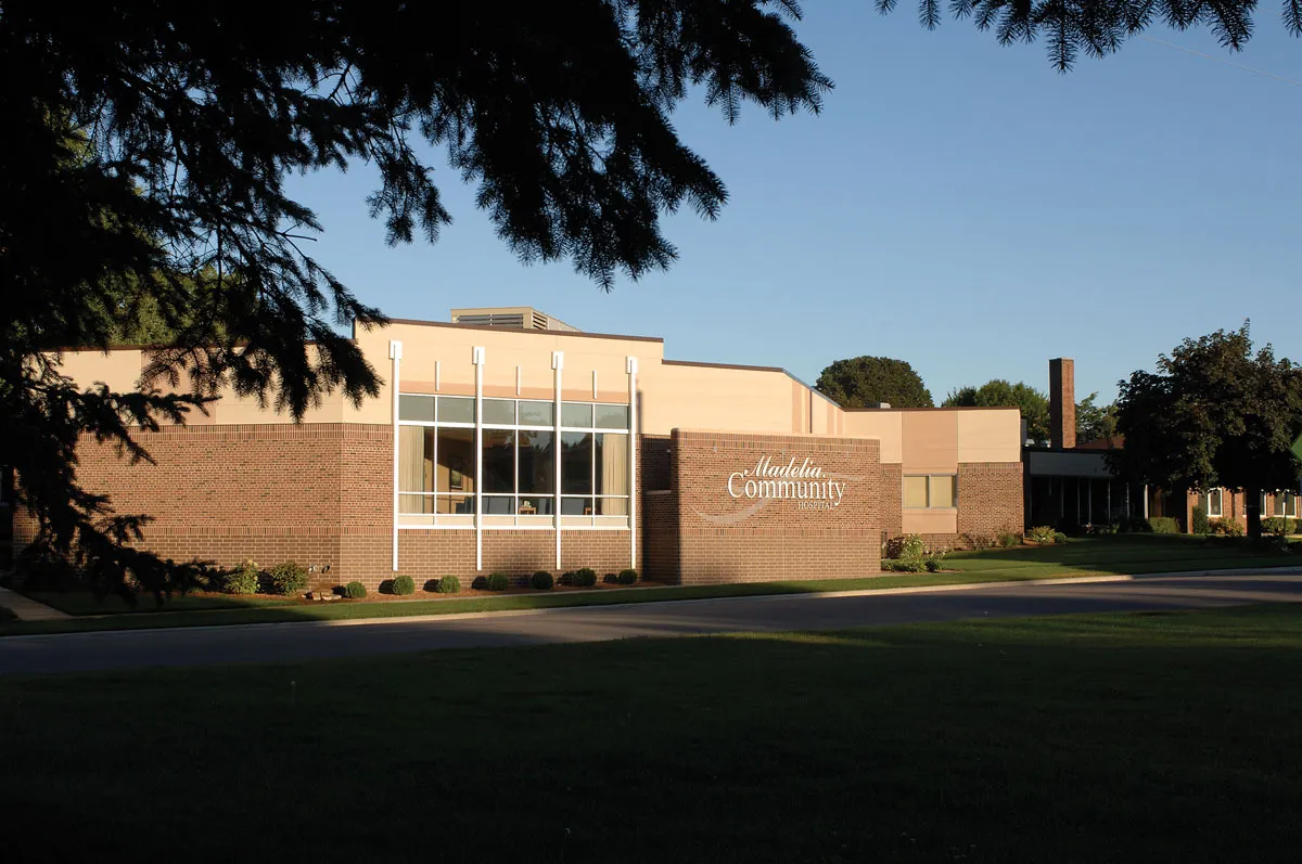
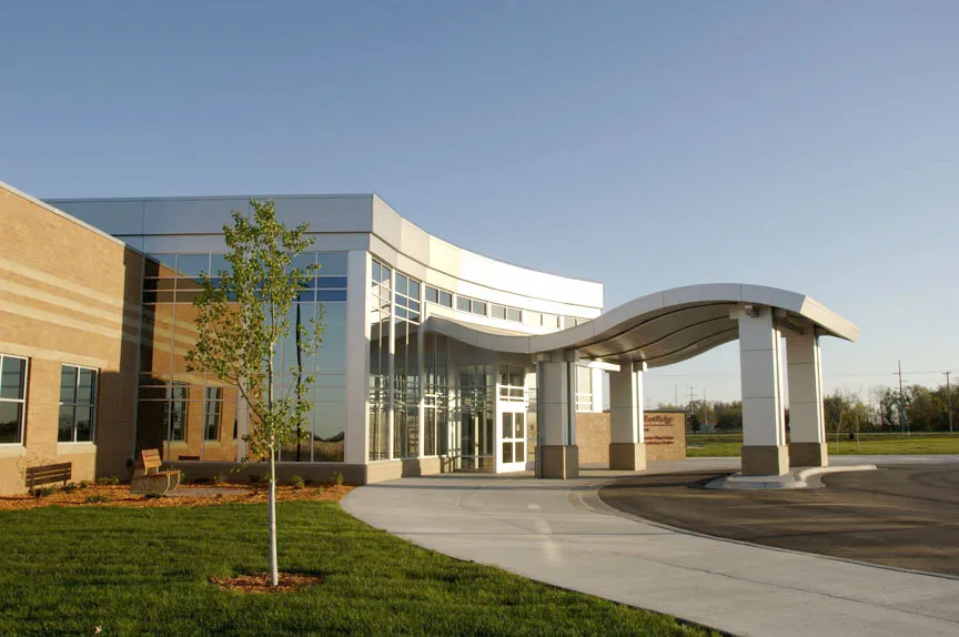
Hospitals + Medical Centers
Healthcare design is not just a service; it's a strategic partnership for a healthier future. Our team excels at providing comprehensive design services to facilitate long-term planning that solves your most difficult healthcare facility challenges.
With offices across the Midwest, we can help you integrate your brand and services across your system, serving each of your communities with the highest quality of design and engineering expertise. ISG eagerly engages with you in a comprehensive process involving development, discovery, and coordination across disciplines to deliver the highest value.
Expertise
- Behavioral Health
- Code + Compliance
- Community Hospitals
- Critical Access Hospitals
- Facility + Site Assessment
- New Construction
- Planning + Development
- Post-Acute Care
- Renovation + Expansion
- Rural Healthcare
Hospitals + Medical Centers Portfolio
.webp)

-1.webp)

.webp)
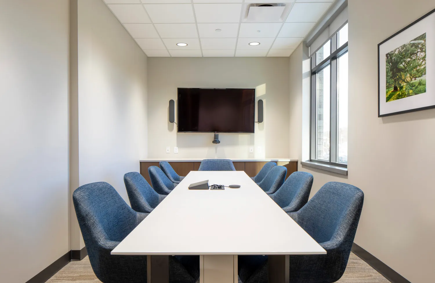
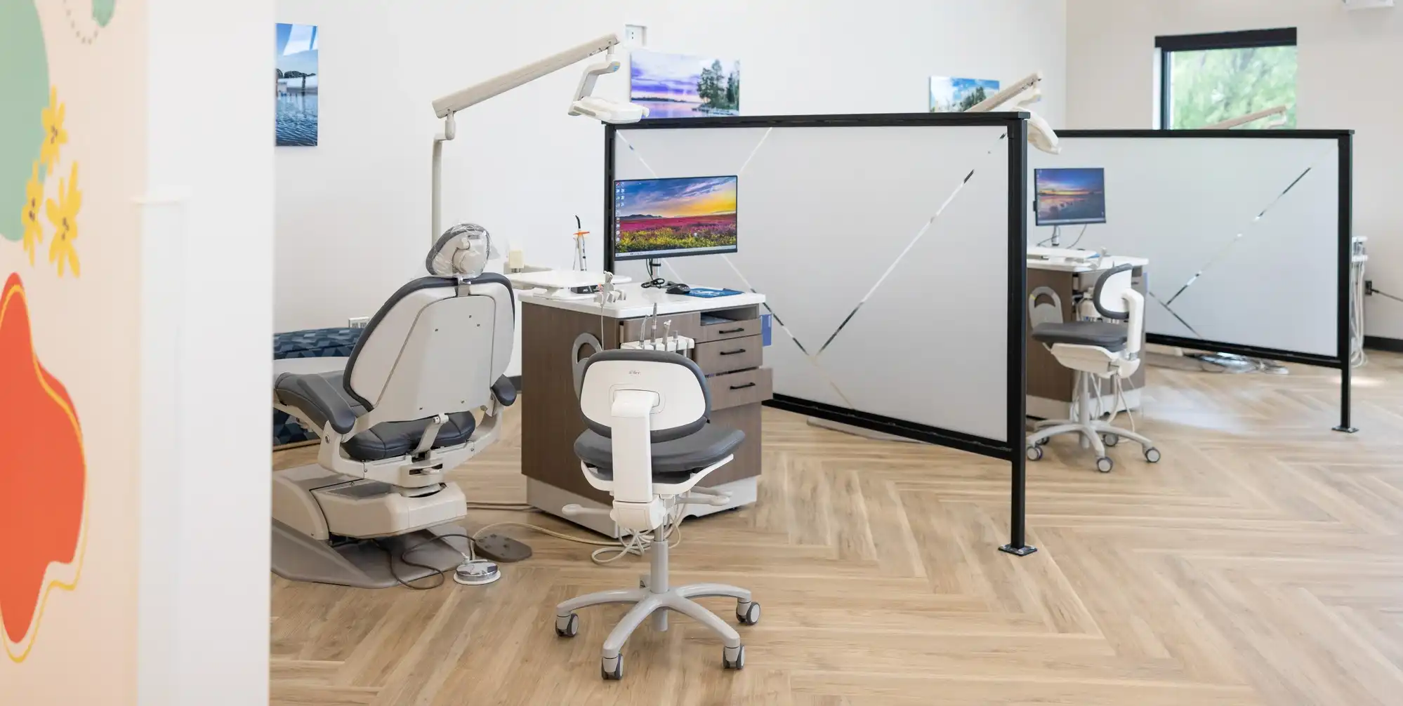
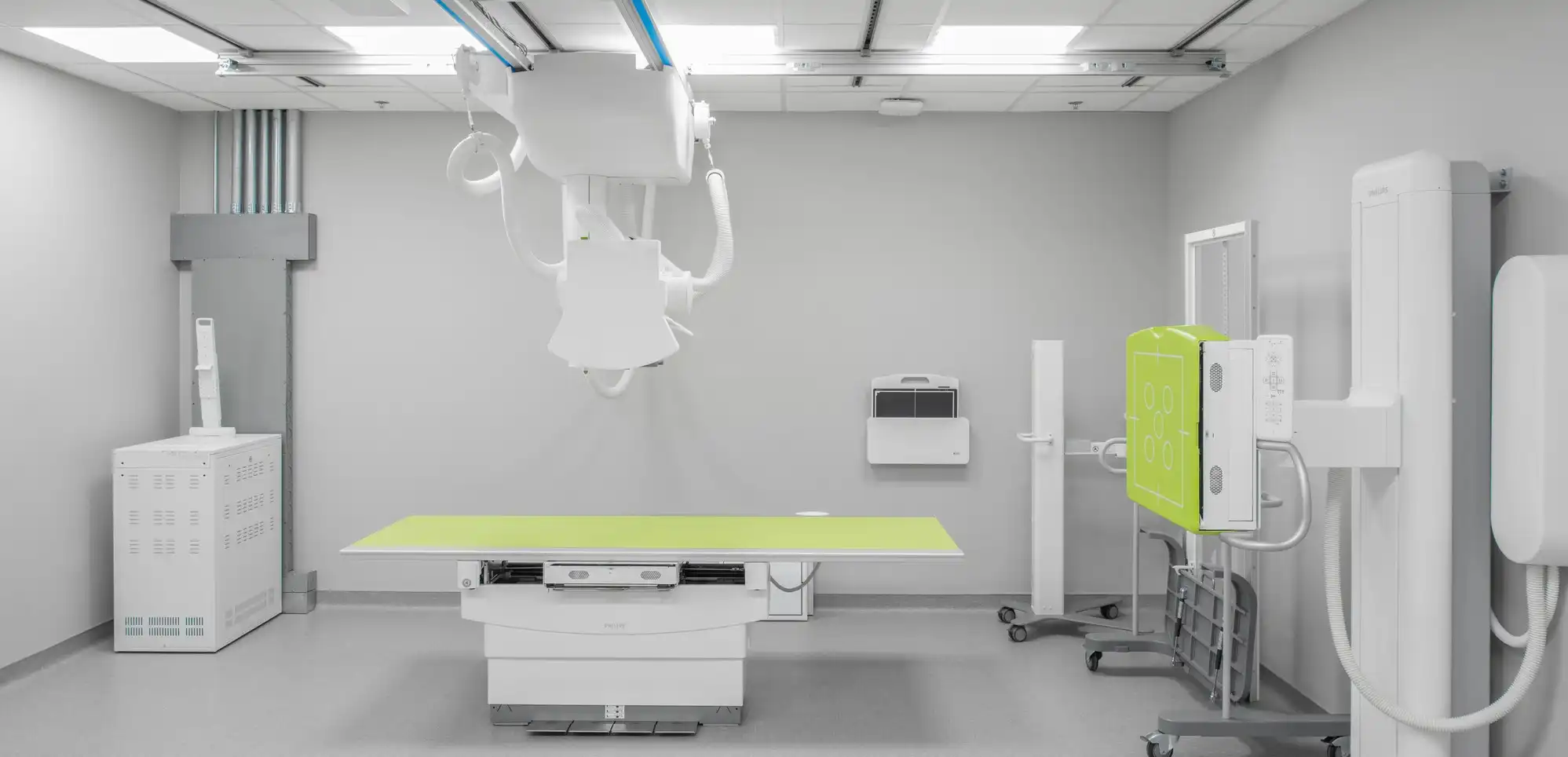
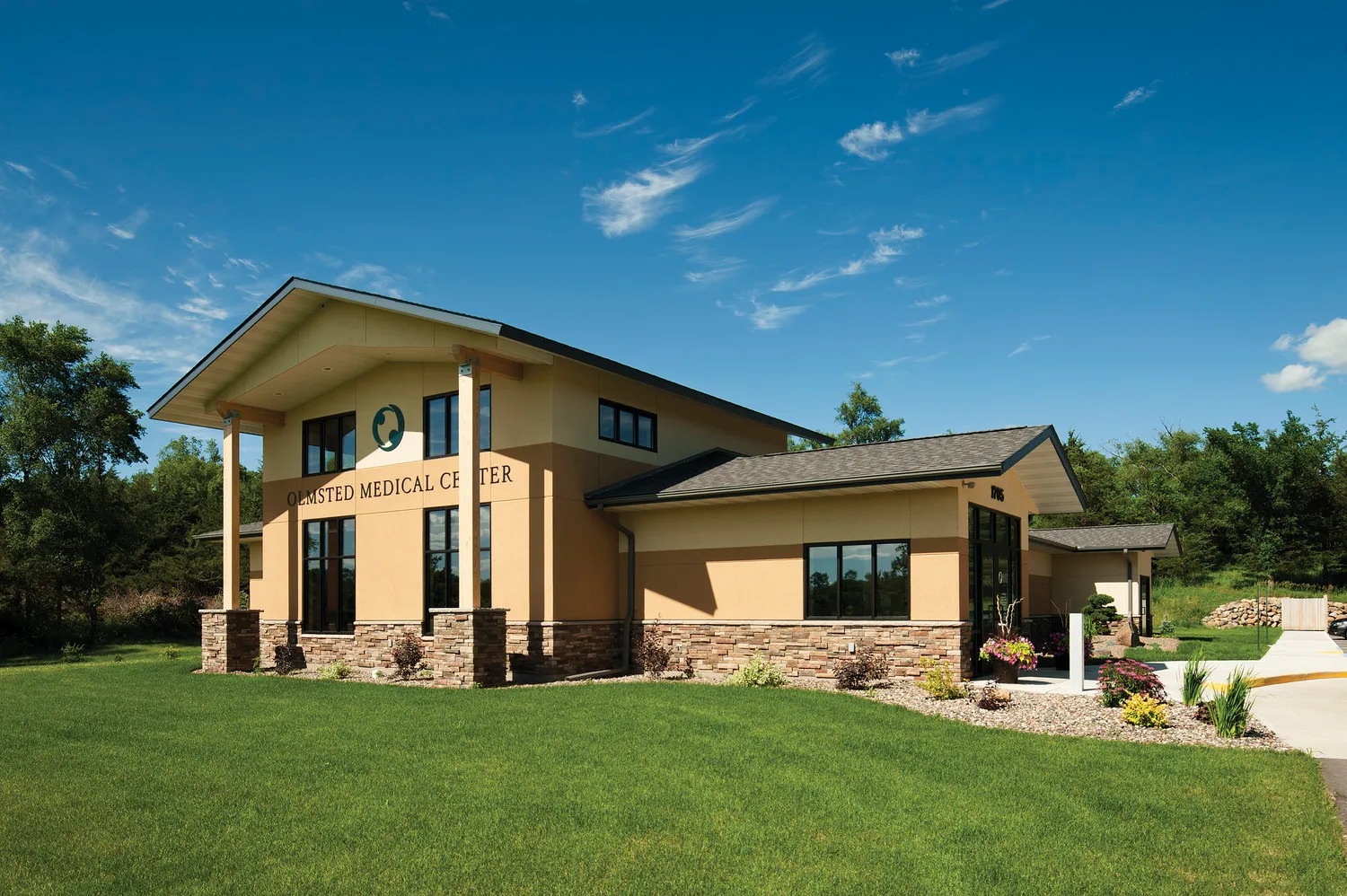
Clinics + Office Practices
ISG stands as a committed and collaborative partner in helping you shape a healthier future. Let us bring you innovative solutions. Backed by our multi-disciplinary team, our in-house resources ensure seamless and efficient project delivery.
We specialize in transforming your requirements into brand differentiators that elevate the care experience with amenities that deliver the professional atmosphere that your patients, staff, and provider’s desire.
Expertise
- Clinics
- Code + Compliance
- Dental Clinics
- Facility + Site Assessment
- Health + Wellness
- Medical Office Buildings
- Medi Spas
- New Construction
- Planning + Development
- Renovation + Expansion
- Specialty Clinics
- Therapy + Rehabilitation
- Training + Education
Clinics + Office Practices Portfolio
-1.webp)
%20Expansion%20(6)-1.webp)
.webp)
The ISG
Difference
We understand today’s healthcare environments are complex. We know it’s not enough to simply design a pleasant and efficient space. You need to maximize every inch of your facility. Our healthcare team is passionate about providing comprehensive design solutions that improve the delivery of care for patients.
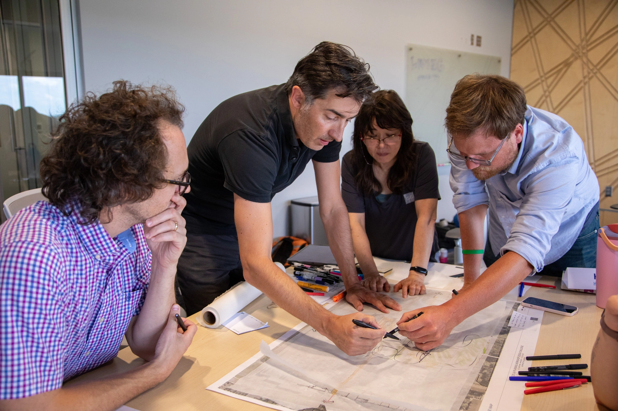
Putting patients first, we take an experience-based approach to planning and design—guiding you through each step of the design and delivery process. Together we will clarify needs and explore options that maximize your care delivery.
- Experience Centered Design Approach
- High-performing design solutions that deliver you the most value
- Confidentiality Guarantee
Business Unit Experts

Tarah Raaum, AIA, NCARB

Suzanne Ferris

Ronna Poppens
Joey Wendinger
.jpg)

.jpg)


"ISG led us through well-planned meetings to help us incorporate input from appropriate personnel to ensure our expansion and renovation designs would ultimately meet the needs of those using the space within our organization."

Blueprints + Building Blocks
Dream, draw, and build the future with ISG!
The Latest From ISG


.webp)


.webp)
ISG Recognized as a 2025–26 Emerging Professional Friendly Firm for the Fourth Consecutive Cycle
ISG has been honored as a 2025–26 Emerging Professional Friendly Firm by AIA chapters in North Dakota, South Dakota, Wisconsin, and Minnesota in recognition of its commitment to fair compensation, licensure support, mentorship, and growth for early-career architects.
Let's Chat.
