Where History and Technology Meet
Located about 90 miles directly north of Iowa’s capital city, Clarion is the seat of Wright County, Iowa, and home to more than 2,700 residents. On the eastern edge of the City is Evergreen Cemetery, a historic cemetery managed and maintained by the City. With more than 125 years of records on handwritten index cards and old paper maps stored at City Hall, the City was in desperate need of a modernized and accessible record-keeping system.
With the inherently fragile nature of paper records and the complexities of accurately recording site lot and plot information, it was vital for the City to select a reliable, knowledgeable, and tech-savvy partner. As an innovative firm providing technology solutions to partners across the Midwest, ISG had developed an existing relationship with the City through several previous projects. ISG’s prior services for the City included a stormwater drainage study, application support, and designs for reconstructing an aquatic center.
A Solutions-Driven Partnership
Recognizing ISG’s skill for using technology in innovative ways, the City reached out to the firm looking for an efficient and cost-effective method to convert their paper archives into functional, electronic records. The key requirements of the modernization project included, not only the conversion to electronic records, but also the development of a mechanism to store the files in a way that would make them accessible to the public without posing a security risk to the City’s information network or other systems. Building upon ISG’s geographic information system (GIS) expertise and experience with the City, a unique plan was developed to utilize GIS technology as a solution for this project.
The Transformation
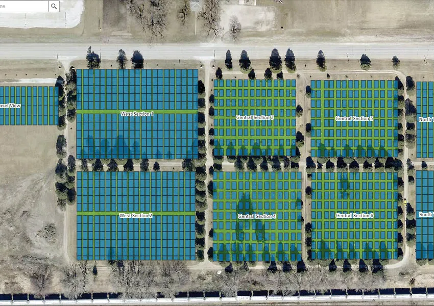
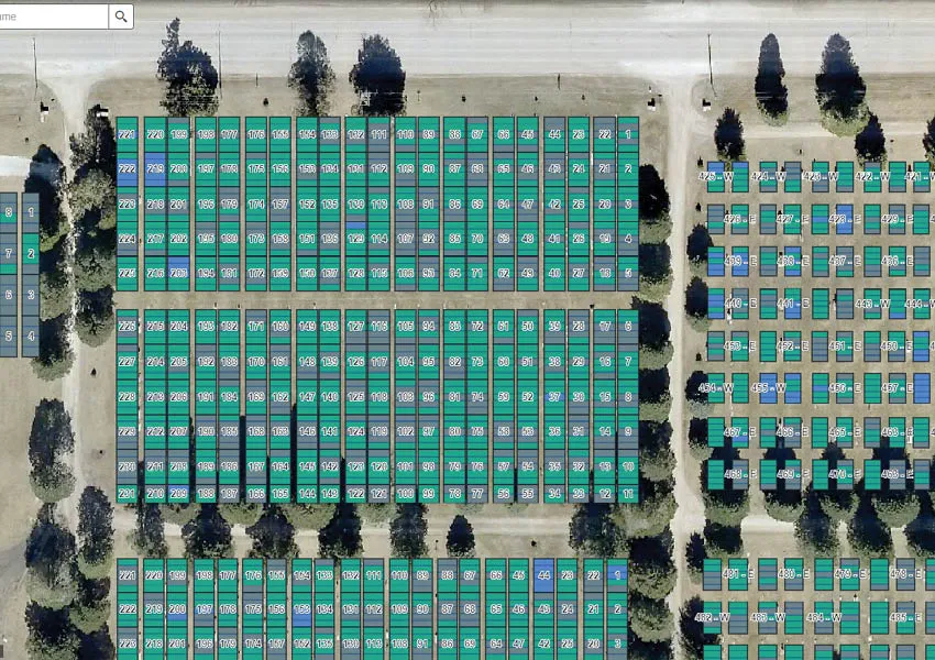
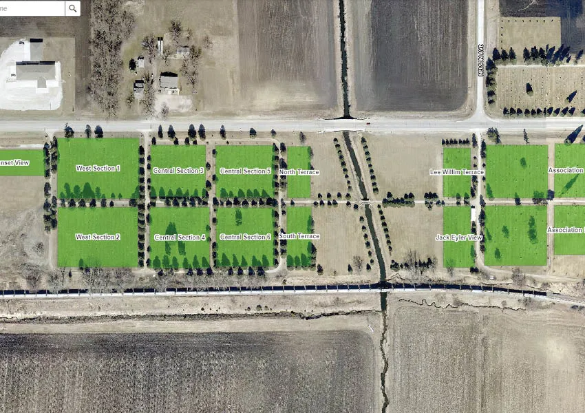
Before any individual records could be electronically catalogued, an accurate and detailed electronic map of the cemetery was needed. To start, the few old, large-format maps that were available in the City’s archives were scanned. The GIS team then georeferenced the scanned information—meaning points on the map were electronically related to actual geographic coordinates. With this geographically accurate electronic record the team was able to add details, such as the location and number of each cemetery lot.
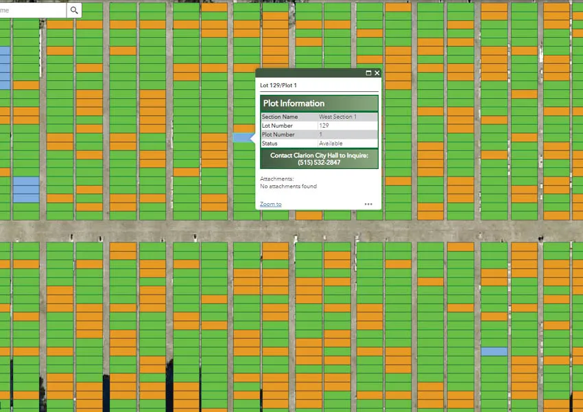
Once the electronic record contained the key location details, each of the 6,000 handwritten burial and deed index cards was scanned. The cards contained essential information, such as lot owner names, the number of plots within each lot, and the names and dates of those interred within each plot. Historically relevant details like purchase dates and amounts were also contained on the cards. Not only did the GIS team capture an image of each card through this scanning process, they also electrically read the details and stored them within the related fields in the file, creating a truly comprehensive database.
This resourceful implementation of GIS technology streamlined the development of an accessible database of records for the community. In addition, ISG developed a website editing application to make it easy for the City to handle ongoing maintenance and add future records. The result is a live, searchable web application that facilitates efficient tracking and management of cemetery records while ensuring the preservation of this important site and its history.


Related Articles


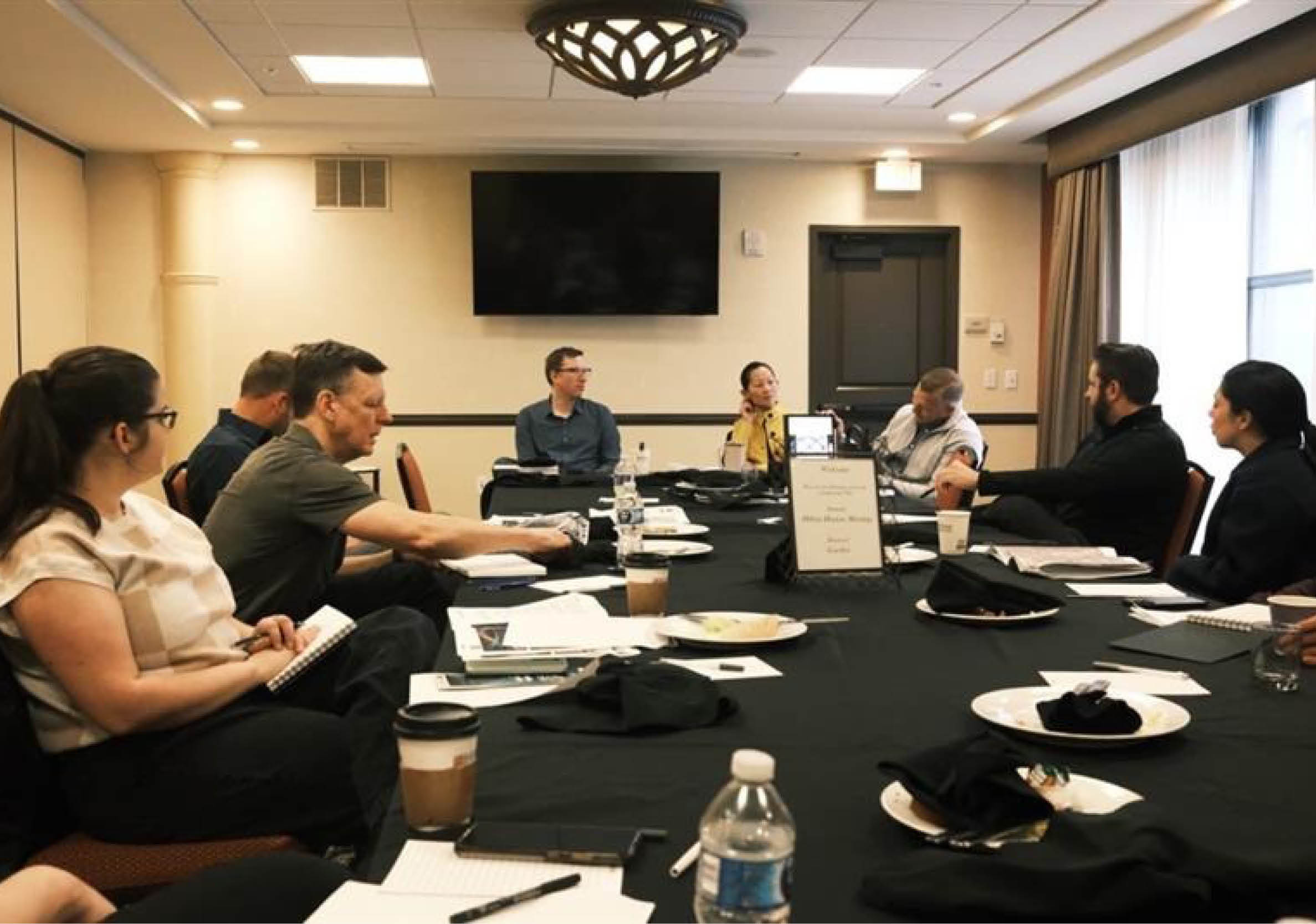

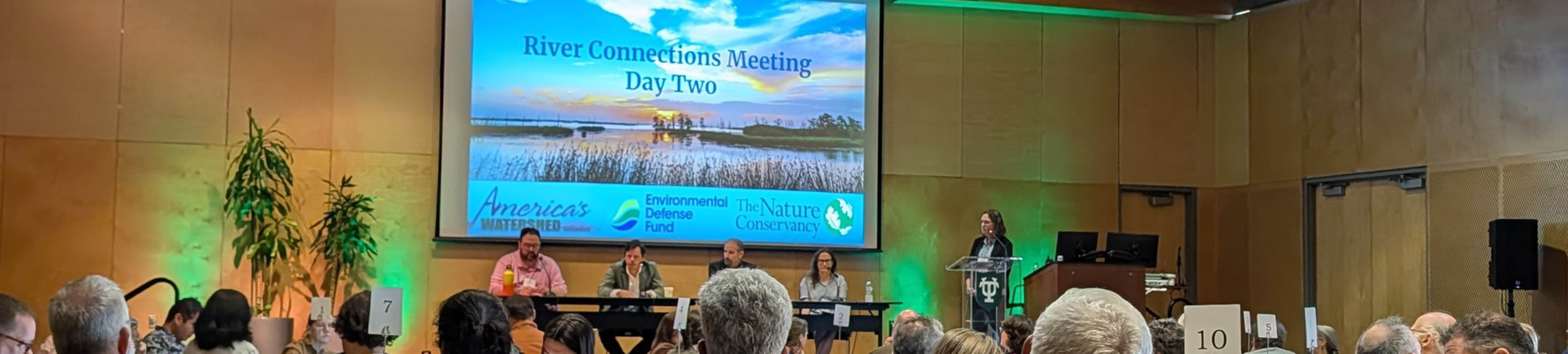
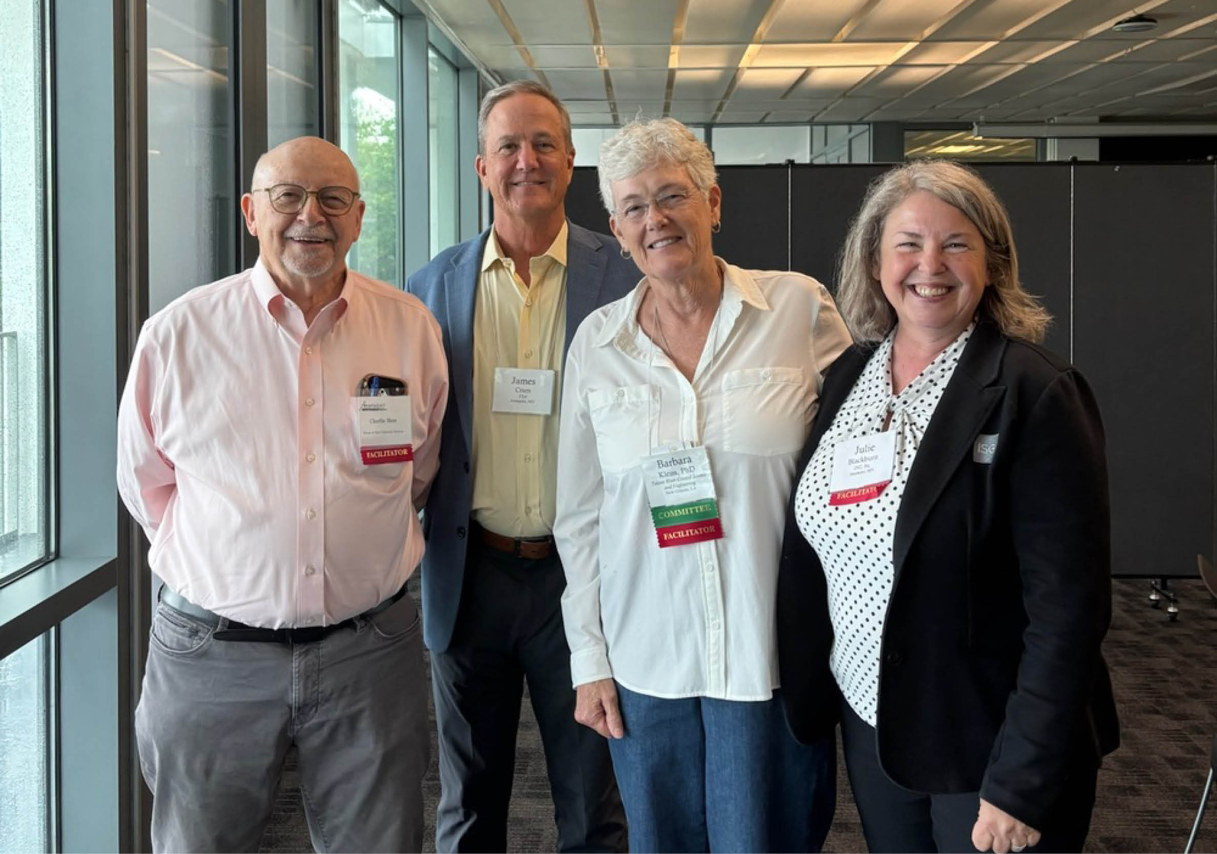
Five Takeaways from River Connections: A Science + Strategy Workshop for the Mississippi River Watershed
Science and Strategy Workshop for the Mississippi River Watershed, hosted by Tulane University in partnership with America’s Watershed Initiative and The Nature Conservancy, brought together practitioners from across the 31-state Mississippi River Basin to explore how research, policy and implementation are aligning to address shared challenges.