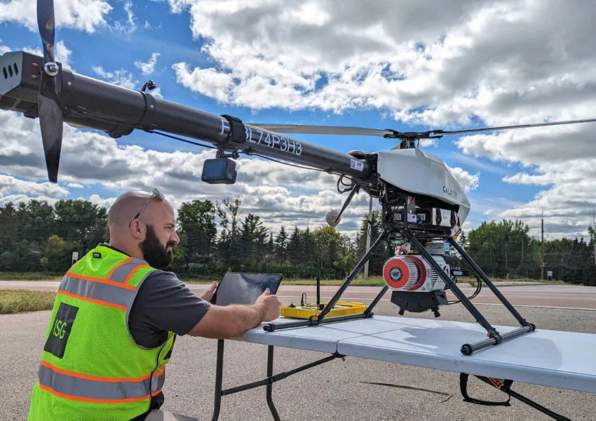
ISG’s Drone Program
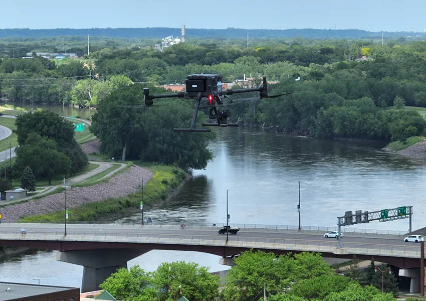
Over the past decade, ISG has implemented the use of drones into their applied technology services. Since starting with a small quadcopter drone to capture images and videos for site documentation and marketing purposes, ISG’s drone program has significantly grown in numbers, capabilities, and quality. ISG currently has 15 drones in our fleet, with capabilities that include LiDAR, thermal and inspection, high-resolution orthoimagery and photogrammetry, videography and photography. These additions to the program have allowed ISG to provide cutting-edge technological solutions for our clients and communities.
Certified Drone Pilots
Across ISG’s 11 offices, 24 employee owners are drone certified, with many more in queue to get their certifications. With this robust team of professionals, ISG takes on various projects across the nation, helping to quickly gather and transfer accurate data.
Drone Advantages
Drones offer a variety of advantages to ISG's design experts and clients, including the following:
- Significantly speedier collection and delivery of specific data
- Ability to reach inaccessible locations
- Collection of unique data such as thermal, 3D, and high-resolution imagery
- Increases safety in high-risk situations, such as around traffic or heavy machinery
Drones in Action
LiDAR Drone
Recently, ISG was hired for a seven-mile ditch assessment to generate up to date topographic information for design. Using a LiDAR drone, ISG was able to perform the work in 1.5 days whereas, traditional methods would’ve taken much longer. In addition, this equipment was able to produce a much higher quality surface file. This drone method resulted in saved time, resources, and money for the client.
High Flying Drones
Nearly all of ISG's drones can fly up to 400 feet outdoors, across unique areas of land and even scale buildings. On a recent project, ISG used a thermal drone to collect a combination of colored and thermal images at the Charlton and Eisenberg buildings in Rochester, Minnesota. The drone moved seamlessly up and down the structures using a vertical lawn mower pattern, allowing project teams to identify deficiencies in need of repair.
First Person View (FPV) Drone
FPV drones are often no bigger than the palm of a person's hand, and can fly through small, hard-to-reach spaces that are normally inaccessible. The FPV experience is unique using virtual reality goggles that allow pilots to see in real-time from the drone's perspective.
The Future with Drone Technology
Drones are an ever-evolving technology that ISG’s Applied Technology team has committed to embrace and stay at the forefront to provide high-quality, timely technology services and deliverables. Perhaps one day this could mean that ISG will be flying drones autonomously from our desktop computers.
Find out more!
To find out more about ISG’s specific drone services, please click here.


Related Articles


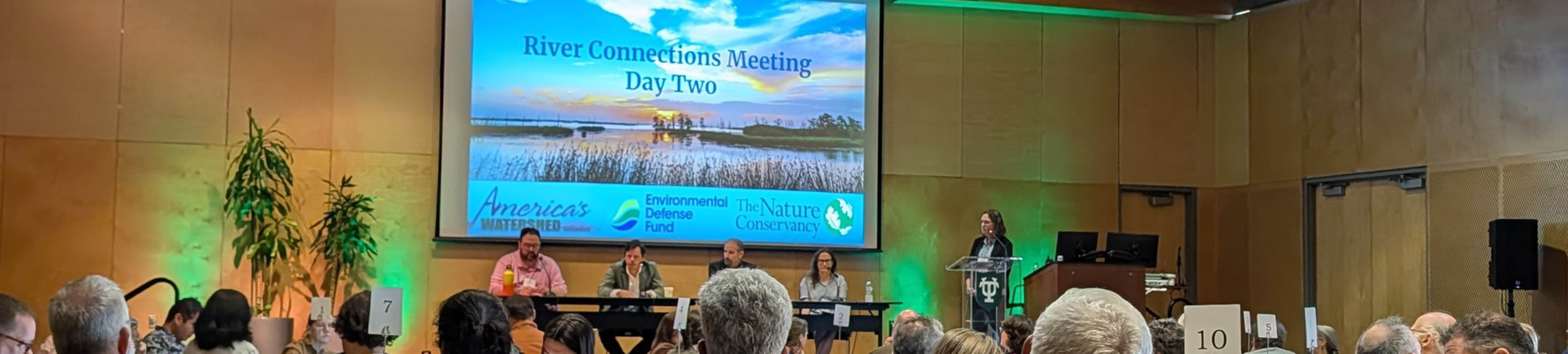
Five Takeaways from River Connections: A Science + Strategy Workshop for the Mississippi River Watershed
Science and Strategy Workshop for the Mississippi River Watershed, hosted by Tulane University in partnership with America’s Watershed Initiative and The Nature Conservancy, brought together practitioners from across the 31-state Mississippi River Basin to explore how research, policy and implementation are aligning to address shared challenges.