Celebrating GIS Day and its Impact on Communities
The Importance of GIS Day
Growing the public understanding of Geographical Information Systems (GIS) has been an ongoing initiative around the world over the past 23 years. November 16th has been designated as GIS Day, intended to celebrate GIS and to educate our communities about the impact it has on our world and in our everyday lives. Today, ISG celebrates and reflects how GIS technology has developed and expanded, and how it can help our clients and the communities we serve.
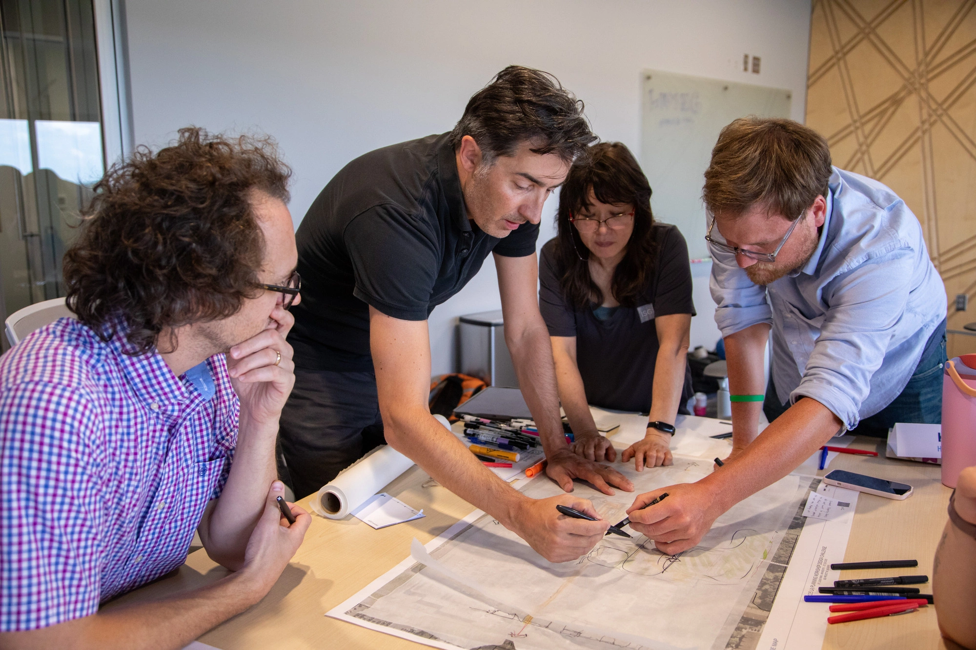
Offices, organizations, universities, and schools all over the world are encouraged to celebrate and showcase how GIS is used and discover and explore its benefits. Celebrations can come in many different forms including educational seminars and presentations, articles, social media, conversations, or even with cake. At ISG, we celebrate with lunch and learns led by our GIS team where we enjoy food, camaraderie, and are able to showcase a handful of projects utilizing GIS services.
How will YOU be celebrating GIS day?
What is GIS and how do we use it?
In a nutshell, GIS helps us make sense of the world geographically through the collection, organization, and analyzation of spatial data. People use GIS platforms every day, including the use of Google Maps and Apple Maps. For example, when googling to check traffic on the way to work or to choose a restaurant to go to for dinner, those maps and results are all geospatially tied. ISG uses high-tech GIS applications to deliver answers that assist our clients in making informed decisions about community planning and project visions.
The high-tech applications utilized by ISG include the industry leading, Esri GIS software system. This software suite gives ISG the hands-on tools to help our clients collect, analyze, and showcase geospatial data. With Esri's Business Analyst software we have access to thousands of demographic, spatial, economic, socioeconomic, and social data sets to help our clients better understand their communities. Then, using field tools such as Survey123, Field Maps, and Quick Capture our staff can collect thousands of real-time data points each day to help us get real-world conditions. Lastly, we have the ability with StoryMaps, Dashboards and Web Applications to effectively display, communicate, and engage with the client and community.
North Cedar Avenue Streetscape Project
The North Cedar Avenue Streetscape Project in Owatonna, Minnesota, is just one of many ISG projects where GIS technology was able to engage stakeholders, while keeping the community informed throughout the duration of the project. In 2019, the City of Owatonna Downtown Streetscape Study was approved by the City Council as part of the Master Plan for a three-block streetscaping improvement project. The City’s goal was to create a more vibrant and energetic downtown area by improving modes of traffic, accessibility, and pedestrian safety, and by adding greenery and other features that would revitalize the historic downtown identity. Phase One of the project consisted of site assessment of existing conditions, summary of stakeholders and community engagement, and a general planning framework for the downtown area.
For completion of Phase One, GIS services and capabilities were instrumental in not only the engineering of the design of the new streetscape, but also in allowing the client and community to be involved, see the vision, and stay up to date on project progress. ISG knew that strong communication with the Owatonna community was vital to the project’s success. A community branded StoryMap was created by the ISG team where the community could gain access to the innerworkings of the project. The StoryMap (https://gis.isginc.com/MN/Owatonna/NorthCedarAveStreetscapeProject/) showcased the following Applied Technology services to the public:
- Interactive Maps
- Public surveys
- Drone footage
- Scan of the corridor
- Live streamed event recordings
- GPS data points
- Concept design renderings
The StoryMap was updated every week showing project progress to the viewers. This map showed active construction updates and how it would impact driving, detours, and accessibility in the downtown area. Downtown businesses and building owners utilized the StoryMap to direct their customers and customers used the map to get parking directions and building access information through this platform.
A handful of businesses said they had better business during construction than prior to it—because of the up to date information visualized on the StoryMap. ISG is always making an effort to cater to our clients’ needs and minimize disruption during a project. Through the expertise of our Applied Technology team, ISG provided a space for community engagement and input, project updates, and an overall positive experience for a Downtown reconstruction project in a passionate community.


Related Articles


The Future of Southern Minnesota Lakes Conference Returns To Inspire Action on Lake Planning, Preservation, and Restoration
ISG is bringing back The Future of Southern Minnesota Lakes Conference for its fourth year from March 6–7, 2026 creating space for lake association members, environmental professionals, and community leaders dedicated to preserving and restoring Southern Minnesota lakes.


.webp)

.webp)
_webfull.webp)
.webp)


