Minnesota
Shell Rock-Winnebago River Comprehensive Watershed Management Plan

Shell Rock-Winnebago River Comprehensive Watershed Management Plan
Our team merged data and analytical modeling outcomes to target priority resources, ensure measurable results, and reflect the values of the watershed partnership. The graphically rich, user-friendly plan was approved by the Minnesota Board of Water and Soil Resources and serves as a roadmap for implementing actionable strategies to improve the ecological health of the Shell Rock River Watershed.
Shell Rock River + Winnebago River Flippingbook +
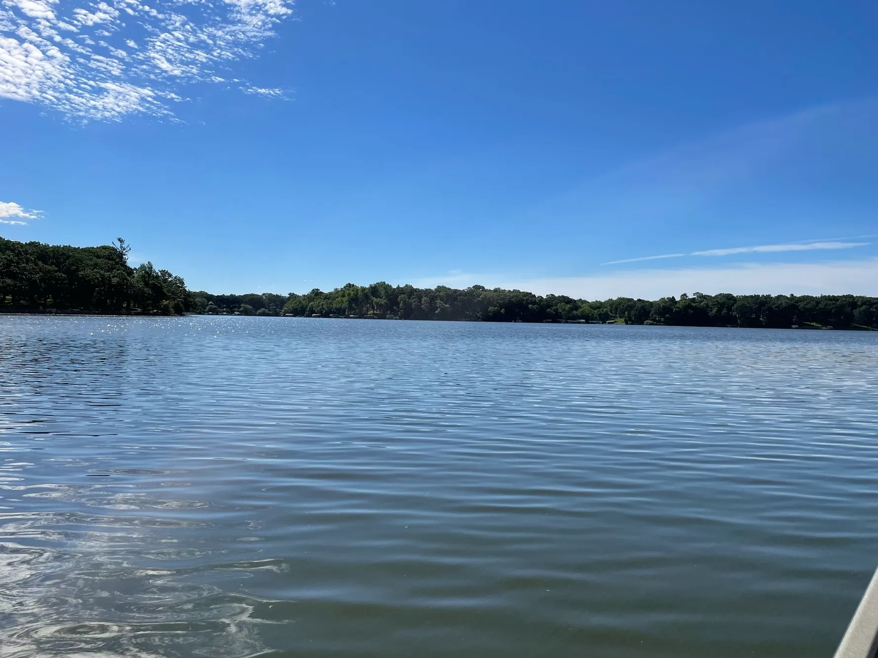
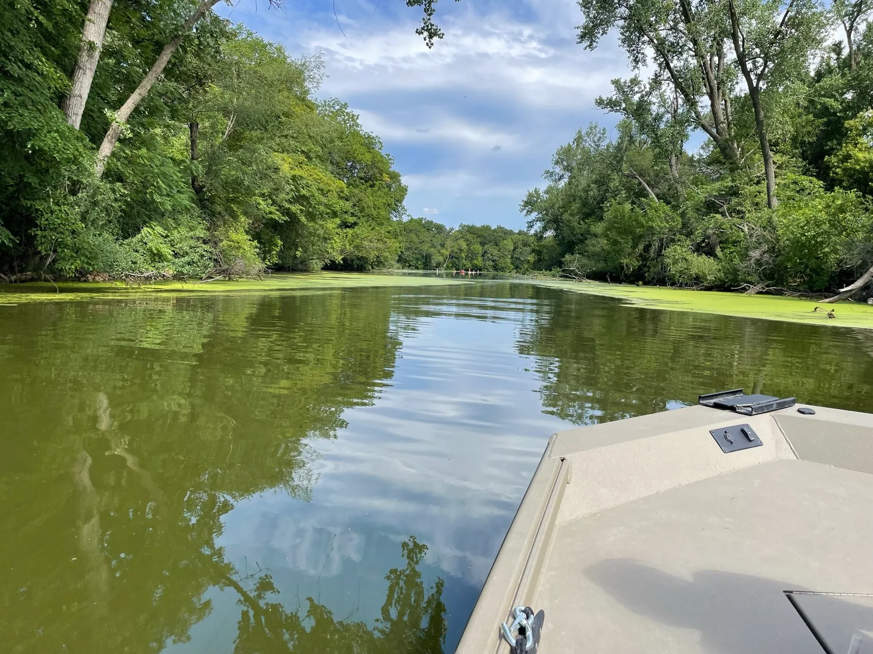
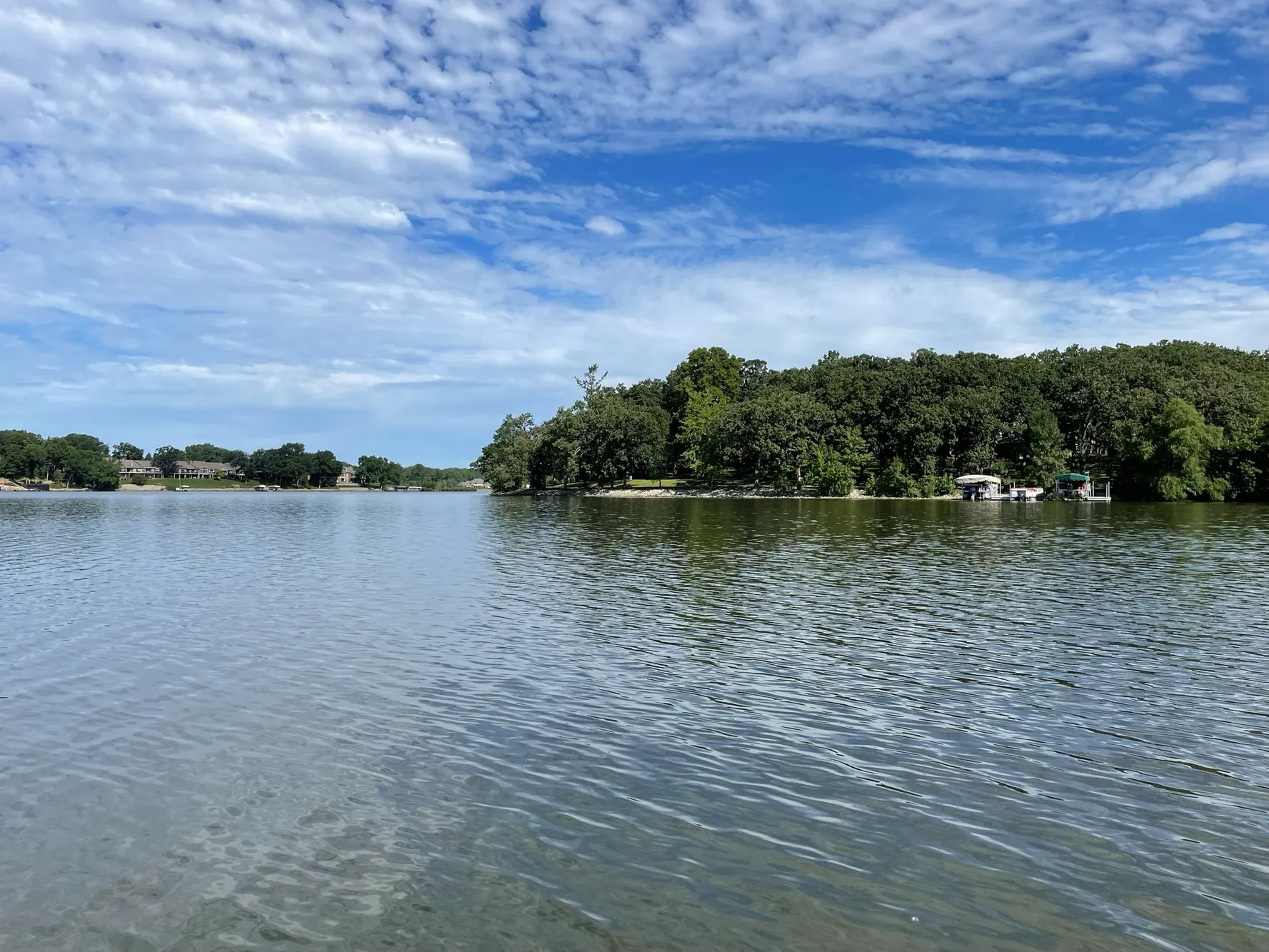
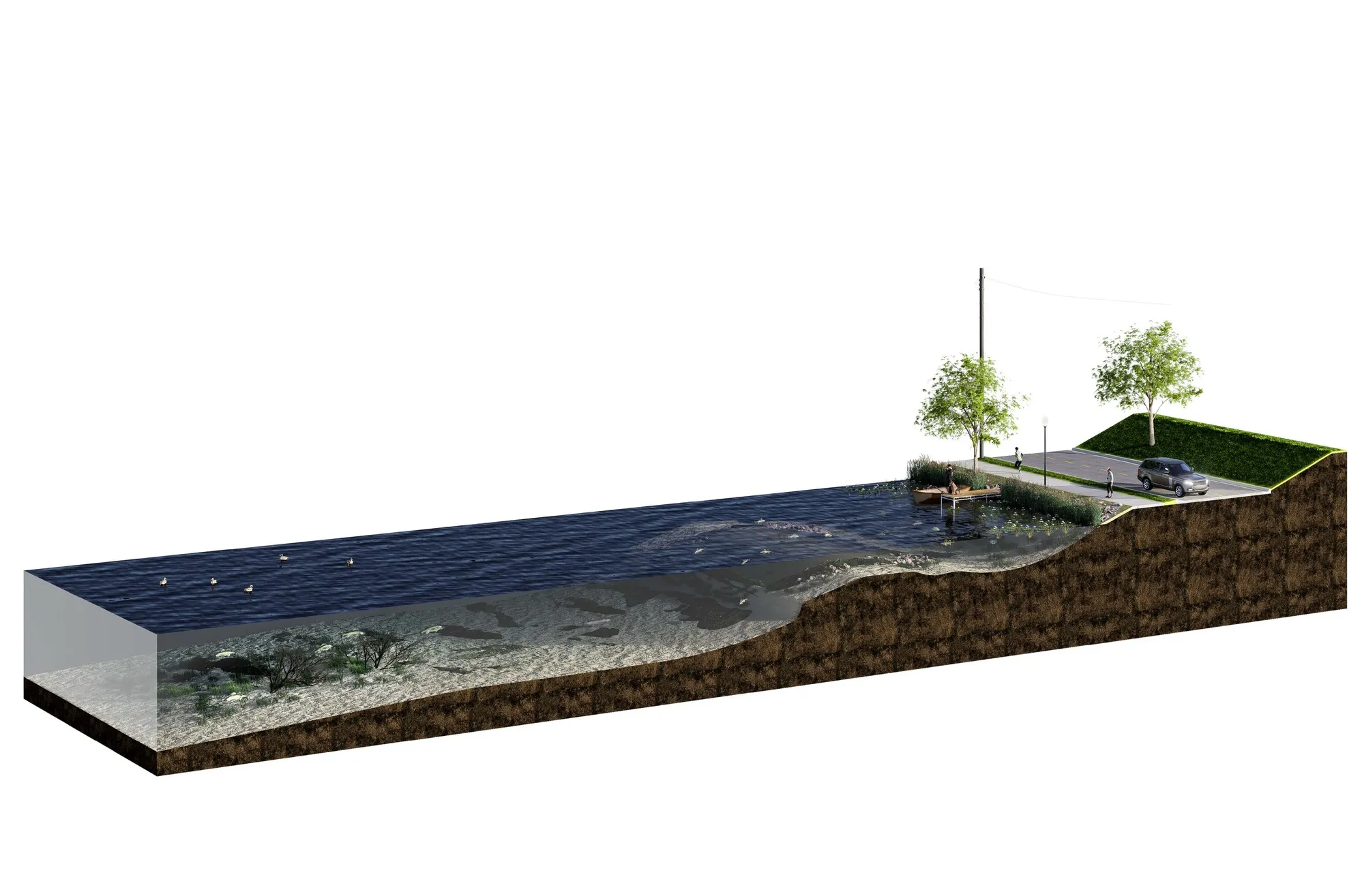
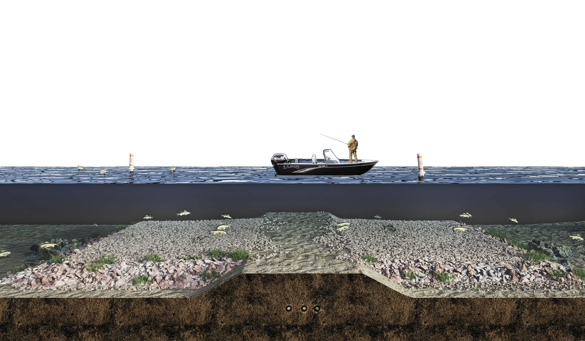
- 317-square-miles of watershed
- Custom best management practice (BMP) targeting tool to identify high pollutant loading areas
- Heat maps pinpointed cost-effective priority resources
- One Watershed, One Plan process
- In-person meeting facilitation and virtual open house engagement


No items found.


As the day-to-day contact for our 1W1P planning process, I have nothing but good things to say about the ISG team. They demonstrate professionalism, complete tasks under tight timelines, and work hard to accomplish the planning team’s goals for the plan. Also, they answer their phones!
Courtney Phillips
Shell Rock Watershed District Program/Project Manager
Applied Tech
